Simetsberg
Route Character
Easy panoramic mountain with a beautiful south-facing summit slope, but also a rather long forest road. Overall just over 1000 meters of vertical rise.
Starting Point & Village
Starting point: Opposite the car park, the signposted forest path to Simetsberg starts. Village: Walchensee
Ascent & Route
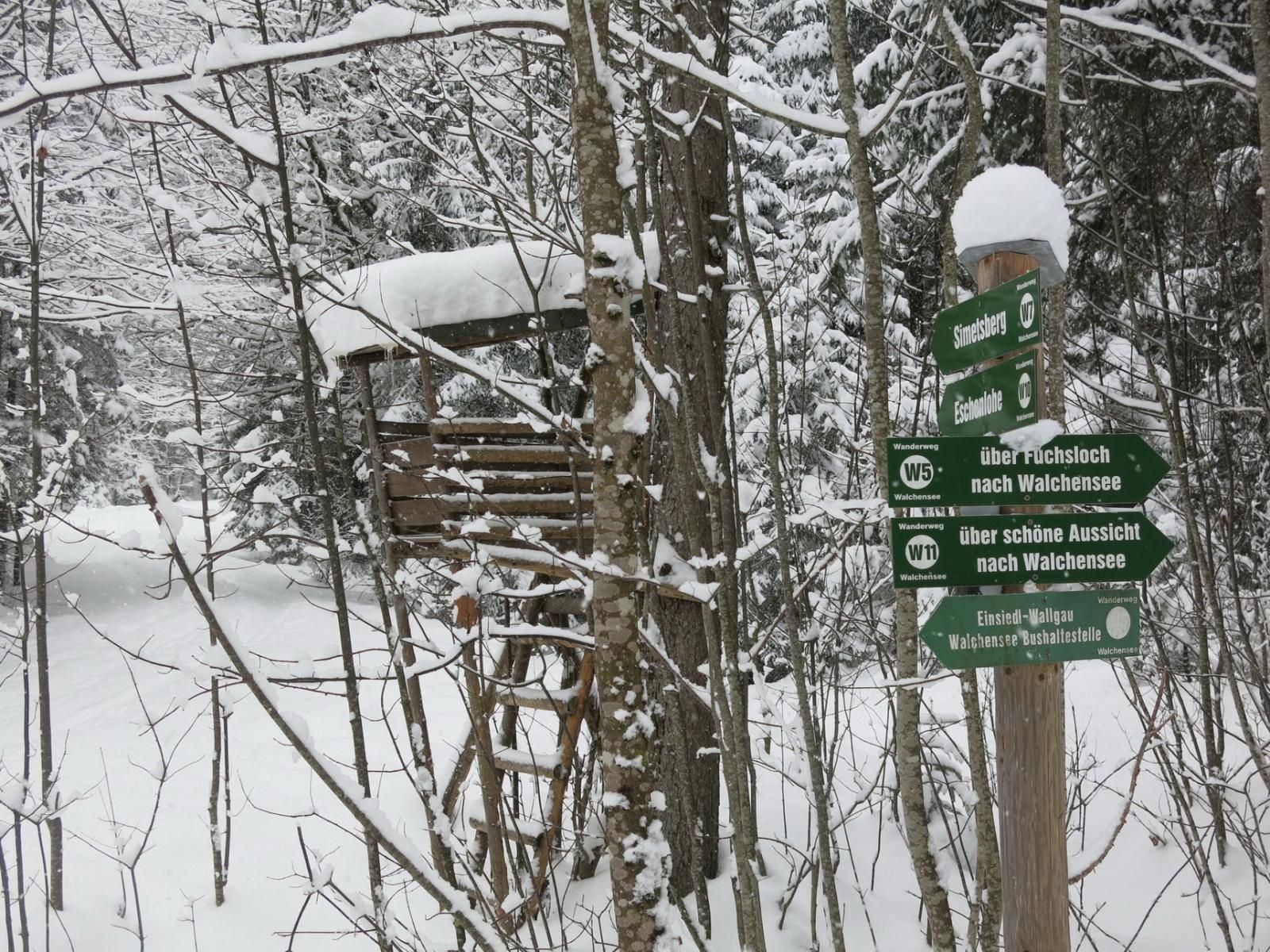
It starts flat and remains flat, even after the junction to Eschenlaine, where you continue on the left forest road to Simetsberg. After two short hairpin bends you cross along the eastern side of the mountain for almost a kilometre. Finally the road bends and a few minutes later the discreet summer path turns right at a small cut. Here you need enough snow and an attentive view, otherwise you just walk along the forest road and take the next turnoff to the right. Passing the scenic snow-covered forest hut, it finally becomes a little bit steeper and narrower, here the summer trail comes again from the bottom right and on this one continues now in a westerly direction until you come across a steep and thinning forest lane. Here you need the first few kickturns to climb the steepest point of this tour. At the top of the slope you can see the upper Simetsberg Diensthütte on your right. Continue westwards over the now nearly tree-free terrain, keeping slightly to the right and over the more steep southern slope and through the short mountain pine belt up to the summit.
Descent & Variants
As far as below the steep forest lane in the area of the ascent route, then, depending on the snow situation, the upper Erzgraben offers an alternative for riding until you meet the forest road again on which you glide back towards north-east to Einsiedel, which succeeds with suitable snow and track also without pushing.
Photo Gallery
A selection of 3 photos from the tour:
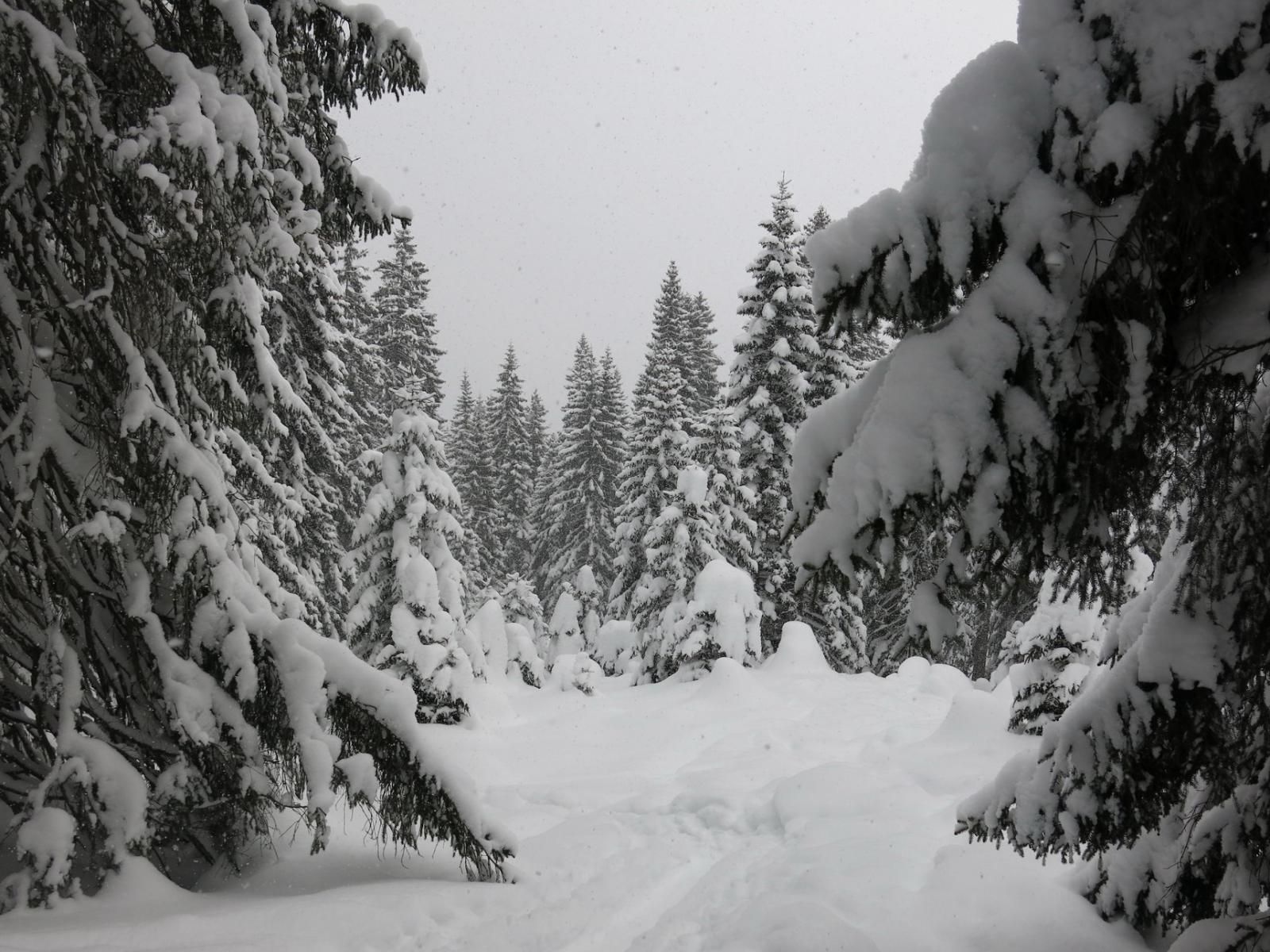
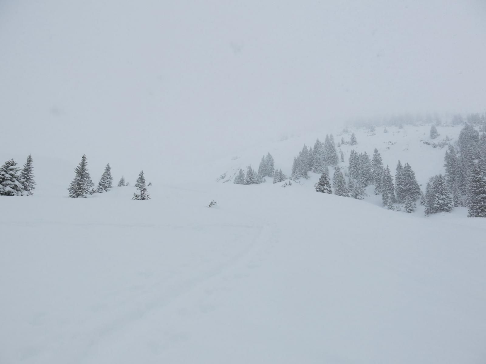
Map and Avalanche Risk
[ASTRO_MAP_INFO_EN]
Image Gallery (3 Photos)
Slope Map
Tour Planning & Important Notes (OpenSlopeMap)
Tour Planning
You can plan and create your own tour directly in the map. The tour can then be downloaded as a GPX track.
Disclaimer
Every user of the map agrees to use the maps provided on OpenSlopeMap.org at their own responsibility and risk. OpenSlopeMap.org and its operators accept no responsibility for damages.
Map Explanation
- Slope inclinations are a very important criterion in avalanche risk management. However, slope inclination alone should never be the sole criterion!
- The resolution for Austria and South Tyrol is based on a digital terrain model (DTM) with 10m resolution. Outside these areas, accuracy is significantly lower.
- A map can only ever provide a limited view of real conditions.
Frequently Asked Questions
How difficult is this splitboard route?
The route is classified with difficulty level 3.
How many vertical meters does the tour include?
The ascent covers approximately 1025 vertical meters.
How long does the ascent take?
The tour takes around 2.5 hours.
Where does the route start?
The starting point of the tour is Walchensee.