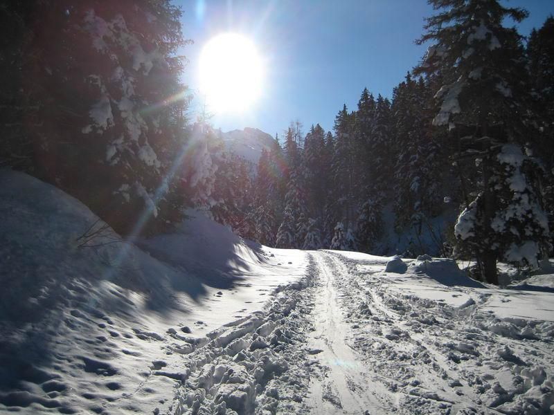
Grafennsspitze
Route Character
Somwhat less crowded alternative to Hirzer. The tour (also called Krovenzspitze) offers wide, unobstructed slopes for sunny downhills. Check the shooting times of the military training area.
Starting Point & Village
Starting point: Big free parking lot right of the barrier to Walchen barracks. Please check the informations of shooting times and restrictions shown at the barrier. Village: Wattens
Ascent & Route
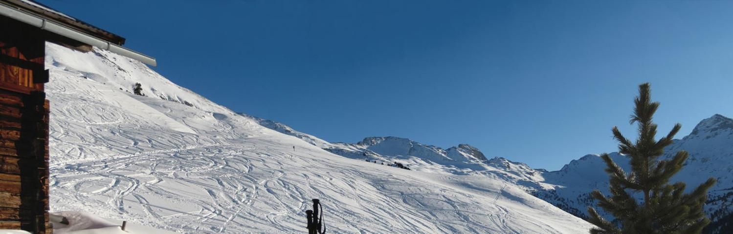
From the parking pass the gate and straight on across the barracks area. At the bridge we take the left side of the stream and after about 300 meters (small bridge) slightly upwards through the wood to the forest road (Zirbenweg). Now we follow the forest road untill we reach the open pasture before Innerlanalp. In a left turn up and then, again a part on the forest road, we cross a cut and go on to the huts of Ausserlan Niederleger. From here straight up to the East to Ausserlahn Hochleger (upper huts).
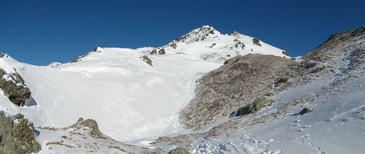
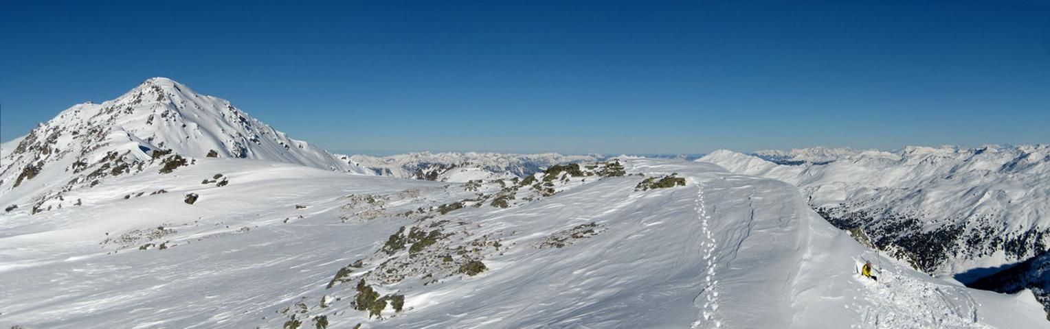
The spacy, open terrain now offers different uphill routes to the ridge. Easiest, we hike up above the huts on the right side of a small cut and turn then to the north-east to hike further up and now to the East through gentle broken terrain. When the terrain gets flatter before the ridge, we turn to the left into a longer, barely flat cut which leads us up to the col. Over a short steep scarp we reach the summit without difficulties.
Descent & Variants
Like asscent. The unobstructed gentle steep terrain offers a lot of space for downhill fun.
Please pass the reaforrestation zone below the Außerlann Niederlegers on the left (like ascent route) and down in the valley take the forest road to ride back to the barracks.
Maps
Alpenvereinskarte 31/5 Innsbruck und Umgebung 1 : 50 000 Topographische Karte
Photo Gallery
A selection of 4 photos from the tour:
Map and Avalanche Risk
[ASTRO_MAP_INFO_EN]
Image Gallery (4 Photos)
Show all 1 more photos
Slope Map
Tour Planning & Important Notes (OpenSlopeMap)
Tour Planning
You can plan and create your own tour directly in the map. The tour can then be downloaded as a GPX track.
Disclaimer
Every user of the map agrees to use the maps provided on OpenSlopeMap.org at their own responsibility and risk. OpenSlopeMap.org and its operators accept no responsibility for damages.
Map Explanation
- Slope inclinations are a very important criterion in avalanche risk management. However, slope inclination alone should never be the sole criterion!
- The resolution for Austria and South Tyrol is based on a digital terrain model (DTM) with 10m resolution. Outside these areas, accuracy is significantly lower.
- A map can only ever provide a limited view of real conditions.
Frequently Asked Questions
How difficult is this splitboard route?
The route is classified with difficulty level 3.
How many vertical meters does the tour include?
The ascent covers approximately 1220 vertical meters.
How long does the ascent take?
The tour takes around 3 hours.
Where does the route start?
The starting point of the tour is Wattens.