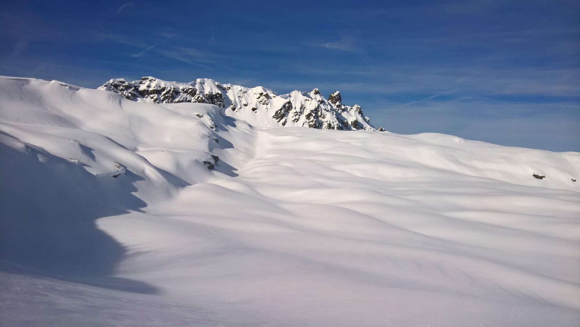
Chli Chaerpf from Elm
Route Character
Much downhill riding with relatively little ascent in a high alpine ambience makes this tour an ideal weekend activity. Overnight stay possible in the small winter building of the Leglerhütte or during maintenance in the lodge itself.
Starting Point & Village
Starting point: Von der Talstation aus mit drei Liften bis zur Bergstation Pleus. Village: Elm
Ascent & Route
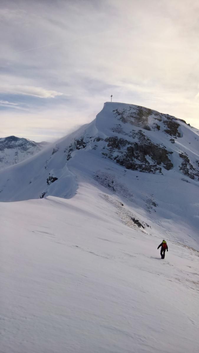
From the top station you climb the slope crosswise up to a steep ridge. From there the terrain flattens again and leads gently to Wildmad (gap). From there over gentle western slopes up to the west ridge of Vorderblistock and over to the summit. In good snow conditions you can also climb up to the summit with the board, otherwise you can carry it for a short time.
At the summit you can strap the board for downhill and ride over the south ridge till you reach the gap between Vorder- and Mittler Blistöck. From there further down the western slopes to a steep channel and through it to P. 1925.
Now switch back to the ascent mode and climb over the Sunnenbergfürggele to the Leglerhütte. The path is marked with poles.
From the hut, one bypasses the rock structure of the Chli Chärpf in southern direction and climbs a wide channel further up until one reaches the Chärpfscharte. There depot and with light luggage over the rock to the summit.
Descent & Variants
From the Chärpfscharte, keep continuously to the southeast past the Rotstock to the Obererbs ski hut. Then follow the hut track to Steinibach and back to Elm.
Observe game reserves!
Photo Gallery
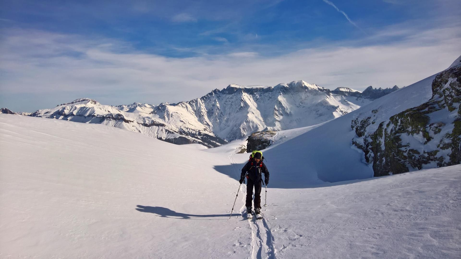
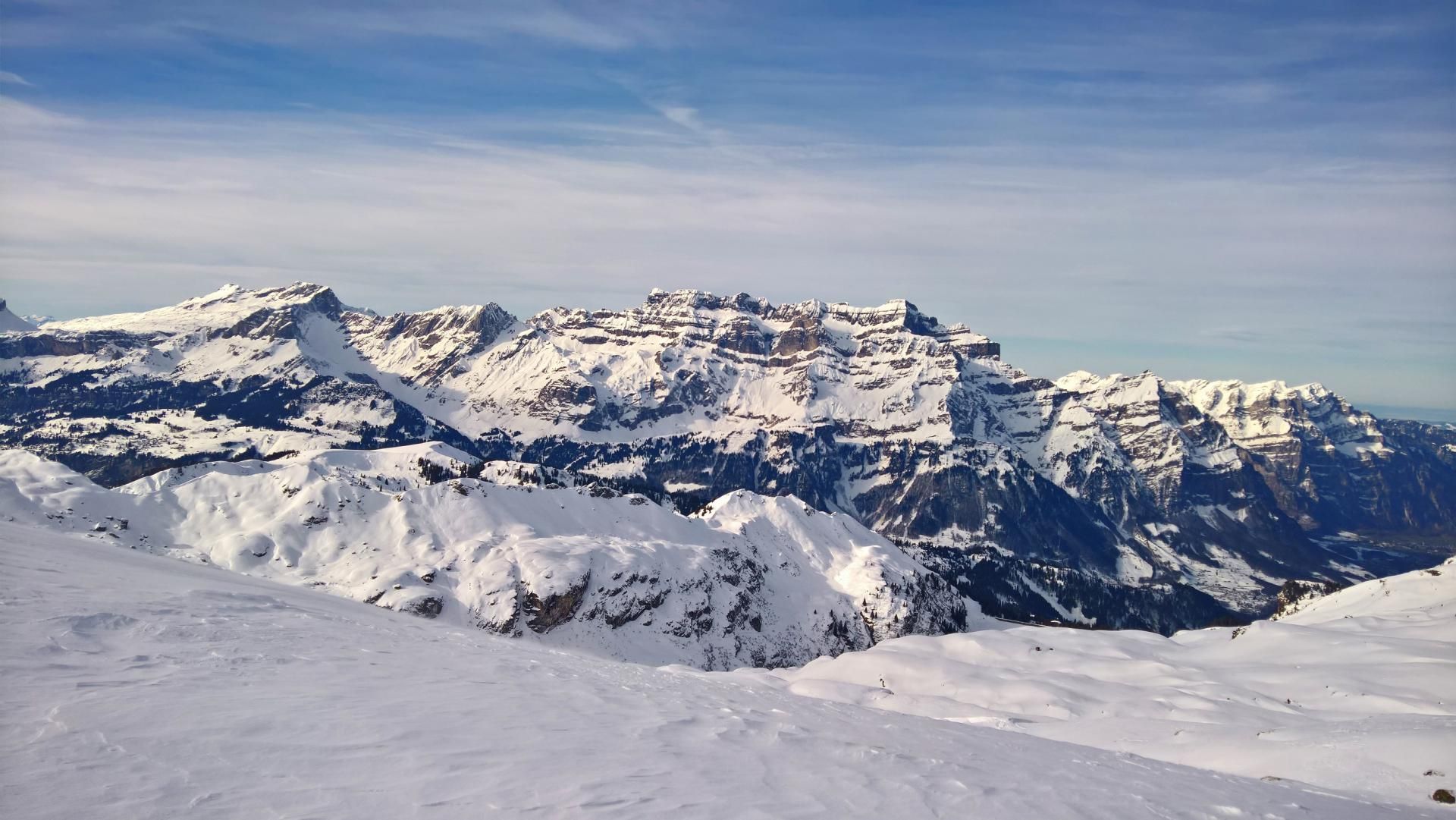
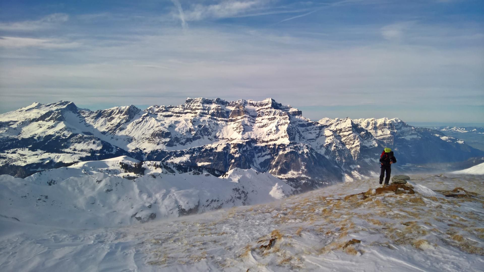
A selection of 6 photos from the tour:
Map and Avalanche Risk
[ASTRO_MAP_INFO_EN]
Image Gallery (6 Photos)
Show all 3 more photos
Slope Map
Tour Planning & Important Notes (OpenSlopeMap)
Tour Planning
You can plan and create your own tour directly in the map. The tour can then be downloaded as a GPX track.
Disclaimer
Every user of the map agrees to use the maps provided on OpenSlopeMap.org at their own responsibility and risk. OpenSlopeMap.org and its operators accept no responsibility for damages.
Map Explanation
- Slope inclinations are a very important criterion in avalanche risk management. However, slope inclination alone should never be the sole criterion!
- The resolution for Austria and South Tyrol is based on a digital terrain model (DTM) with 10m resolution. Outside these areas, accuracy is significantly lower.
- A map can only ever provide a limited view of real conditions.
Frequently Asked Questions
How difficult is this splitboard route?
The route is classified with difficulty level 3.
How many vertical meters does the tour include?
The ascent covers approximately 1110 vertical meters.
How long does the ascent take?
The tour takes around 5 hours.
Where does the route start?
The starting point of the tour is Elm.