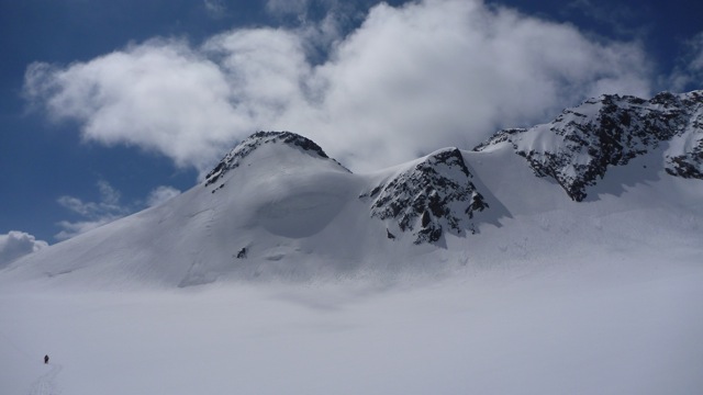
Zuckerhuetl across Pfaffenferner
Route Character
Short glacier splitboard / ski tour to the highest peak of the Stubai Alps. Descent possibilities for absolutely glacier experienced up to 1800 vertical meters.
Starting Point & Village
Starting point:
From the top station Schaufelspitz we ride down the slope to the top station of Eisjochlift. We cross the Eisjochlift and ride down the Gaiskarferner (on the right side of the funpark) in south-eastern direction to the lowermost point.
Village: Neustift im StubaitalAscent & Route
From the top station Schaufelspitz we ride down the slope to the top station of Eisjochlift. We cross the Eisjochlift and ride down the Gaiskarferner (on the right side of the funpark) in south-eastern direction to the lowermost point.
Here we change our splitboards into hike-mode, put the skins on and we start through the former glacier basin, then up a long steep section to the East to Pfaffenferner. The glacier (Pfaffenferner) is mostly tracked and relatively safe of crevasses (given that there is sufficient snow). We go on in North-Eastern direction to Pfaffenjoch.
After the Pfaffenjoch (3212m) there comes the traverse of Sulzenauferner (Sulzenau glacier) in South-Eastern direction to Pfaffensattel (Pfaffen saddle 3332m). Usually here is the skidepot and you go on by foot with crampons up to the West to reach the summit of Zuckerhütl (3432m).
Very experienced riders can take their splitboard / ski up to the summit to ride down the ice face of Zuckerhütl (depending on snow conditions).
Descent & Variants
Like ascent. To get back to the ski resort we hike back up 150 vertical meters to the easy viewable lift.
Option A: Like ascent. Shortly before the Pfaffenjoch we go down to the North at the left glacier rim of Sulzenau glacier until just before "Lange Pfaffennieder" approx. 3150m. We climb over this pass (some boulder climbing in the last part if there is little snow) and via the Fernauferner (ski route) to Dresdner Hut.
Option B: For really glacier experienced Splitboaders and only with good views, there is a nice and demanding route from Pfaffenjoch directly to the North over ther very crevassed Sulzenau glacier until just shortly before the icefall (approx. 3080m). Now we ride diagonal to the North-West until near the Pfaffengrat and stying on the left glacier rim down a long steep section to Beiljoch (2600m). Here we skin up again and hike up approx. 80 vertical meters to the col (2676m). From there down through a wide channel to the North-West and back into the ski resort to Dresdner Hut.
Important notice: The col is often blown out and snow conditions can be difficult. Also the lower part of the channel is very steep and sometimes stony. Please check this option already on your ascent from the Eisgrat cable car (to your left), to keep the risk as low as possible and to chosse a different option on improper conditions.
Option C: For absolutely glacier experienced Splitboarders and only with best viewing conditions, the most beautiful and most demanding descent leads from Pfaffenjoch directly to the North over the very crevassed Sulzenau glacier until just before the icefalls (approx. 3080m). From there diagonal to the North-West until close to Pfaffengrat and keeping on the left glacier rim down a long steep section into the wide basin above Sulzenau Hut. At the bootom of the steep, we should consider putting the skins on again to overcome the 30 minutes flat part, the only downer of this scenically beautiful splitboard route.
From the Sulzenau Hut we follow the summer track for a short way (could be avalanche endangered from west-north-west) and ride down a difficult steep slope coverd with mountain pine and shrub into the valley basin of Sulzenau Alm. Here it could be, with poor waxed boards, that you have to push another 10 minutes, or just walk out. We pass the alp, again following the summer track (very narrow) and reach a narrow avalanche path which can be fun with good snow conditions. We ride down this very steep avalanche path in direction of Grawa alp until the stream. At the stream we go approx. 50 m to the left (into the valley) and cross the stream over a small wooden bridge directly to the Grawa alp.
We can try hitchhiking back to the valley station of the cable car or we take the bus from the parking at Sulzenau Hut.
Maps
Alpenvereinskarte 31/1 Stubaier Alpen Hochstubai 1 : 25 000 Topographische Karte
Photo Gallery
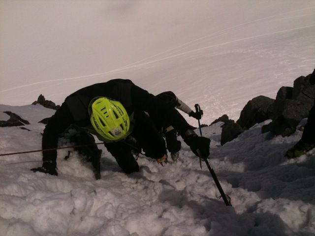
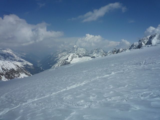
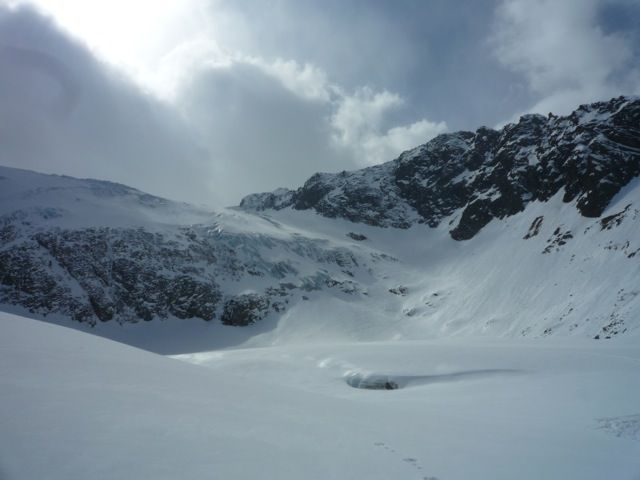
A selection of 4 photos from the tour:
Map and Avalanche Risk
[ASTRO_MAP_INFO_EN]
Image Gallery (4 Photos)
Show all 1 more photos
Slope Map
Tour Planning & Important Notes (OpenSlopeMap)
Tour Planning
You can plan and create your own tour directly in the map. The tour can then be downloaded as a GPX track.
Disclaimer
Every user of the map agrees to use the maps provided on OpenSlopeMap.org at their own responsibility and risk. OpenSlopeMap.org and its operators accept no responsibility for damages.
Map Explanation
- Slope inclinations are a very important criterion in avalanche risk management. However, slope inclination alone should never be the sole criterion!
- The resolution for Austria and South Tyrol is based on a digital terrain model (DTM) with 10m resolution. Outside these areas, accuracy is significantly lower.
- A map can only ever provide a limited view of real conditions.
Frequently Asked Questions
How difficult is this splitboard route?
The route is classified with difficulty level 5.
How many vertical meters does the tour include?
The ascent covers approximately 705 vertical meters.
How long does the ascent take?
The tour takes around 2.75 hours.
Where does the route start?
The starting point of the tour is Neustift im Stubaital.