Zischgeles Spitze
Route Character
A classic ski mountaineering peak in the Sellrain Valley, directly beside the education trail of the Lampsenspitze. The Zischgeles offers fine splitboard backcountry terrain. Please take care at some conditions you can be trapped by the infamous Zischgeles avalanche.
Starting Point & Village
Starting point: Parking Space (parking fee) at Gasthof Praxmar, the same as to climb the Lampsenspitze. Village: St. Sigmund im Sellrain
Ascent & Route
It's that time again, nice weather and the desire to do some splitboarding / backcountry touring.
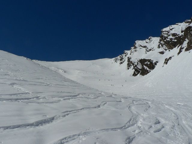
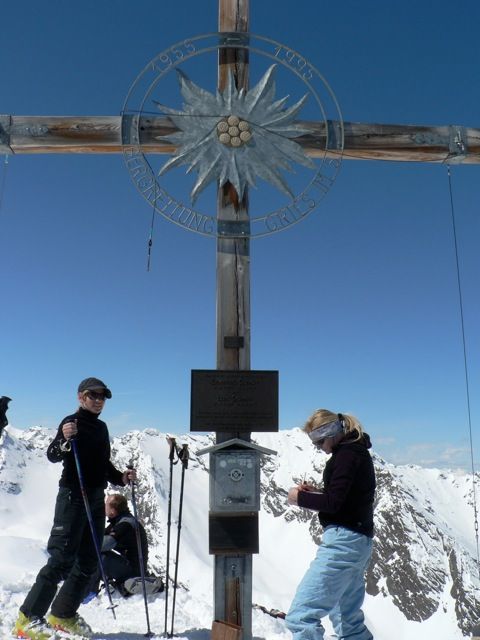
We have already skinned our splitboards, the avalanche transceiver unit is switched on and checked our materials. Now we go on at first on the Snowmobile track to the South. At the old lift house we skin in a slight curve to the right up to Schefalm. Reached that we hike southeast beside the Moarlerbach and keep going till we get to around 2300m, the Kamplloch. Here we can decide whether we are approaching the peak Zischgeles on the north-east or north-route. I will describe the classical North-East route.We stick to the left of the "Kampljoch-Rocks" and begin skinning up in kickturns the long slope up to the plateau at 2850m. Once here we go to the West direction of the already visible summit of Zischgeles 3005m. At the summit we drink our tea, have a snack and decide, wether riding down the north or north-east face. This decision will be determined by the conditions and the already tracked areas.Today we have chosen North-East. We bring our splitboards in the ride-mode (unskin the skis) and enjoy fine powder.
* Thank you Martin for the GPS track.
Descent & Variants
Descent as ascent, watch out for nice options, but keep the "Zischgeles-Avalanche" in mind and take care.
Maps
Alpenvereinskarte 31/2 Stubaier Alpen Sellrain 1 : 25 000 Topographische Karte
Photo Gallery
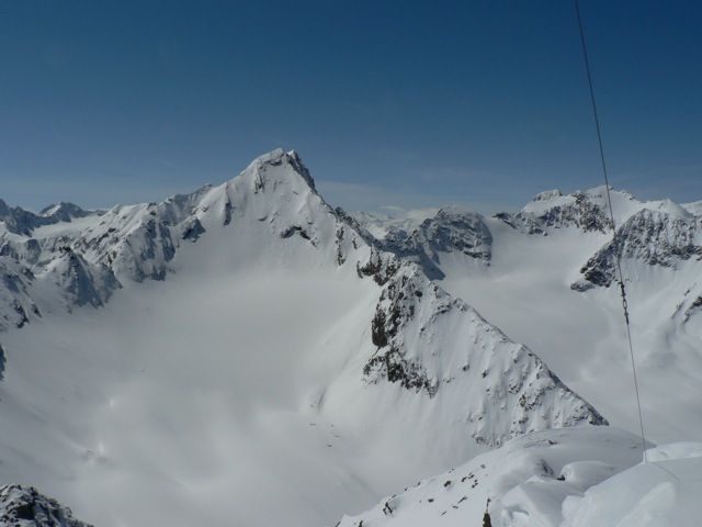
A selection of 3 photos from the tour:
Map and Avalanche Risk
[ASTRO_MAP_INFO_EN]
Image Gallery (3 Photos)
Slope Map
Tour Planning & Important Notes (OpenSlopeMap)
Tour Planning
You can plan and create your own tour directly in the map. The tour can then be downloaded as a GPX track.
Disclaimer
Every user of the map agrees to use the maps provided on OpenSlopeMap.org at their own responsibility and risk. OpenSlopeMap.org and its operators accept no responsibility for damages.
Map Explanation
- Slope inclinations are a very important criterion in avalanche risk management. However, slope inclination alone should never be the sole criterion!
- The resolution for Austria and South Tyrol is based on a digital terrain model (DTM) with 10m resolution. Outside these areas, accuracy is significantly lower.
- A map can only ever provide a limited view of real conditions.
Frequently Asked Questions
How difficult is this splitboard route?
The route is classified with difficulty level 3.
How many vertical meters does the tour include?
The ascent covers approximately 1318 vertical meters.
How long does the ascent take?
The tour takes around 4 hours.
Where does the route start?
The starting point of the tour is St. Sigmund im Sellrain.