Wurzer Alpenspitze
Route Character
The wide open spaced alp area compensates the bit painful steep forest ascent.
Starting Point & Village
Starting point:
Parking at the Hotel Taljörgele (it’s best to ask friendly at the reception).
Village: RatschingsAscent & Route
Starting at the hotel you follow the street for some meters, then we can put the skins on and shortcut across the meadow up to the single farm building at the edge of the wood. On the left of the farmhouse is the signposted trail to Wurzeralm which we follow for short and turn then to the right into the wood. Above an artificial stream intake we can cross the streambed on a narrow footbridge and then hike steeply up the forest till we reach a forrest road which we cross to continue up the wood. The forest thins out (1800m) and we reach the Inner Wurzeralm to our right above the forest line.
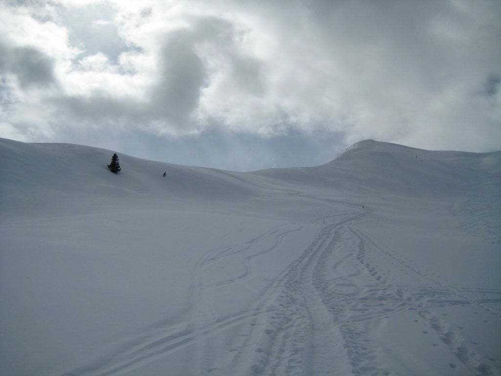
We pass the alp in a wide left turn to the ridge which leads up to the South. We climb the ridge at a suitable point and hike up this ridge over some short steeper sections to the highest point, a spacy summit plateau.
According to the Alpine Club map, the "true" summit of Wurzer Alpenspitze is the next summit to the West. Other route descriptions locate it even one more high to the West. Whatever, the described route is the less avalanche endangered and offers nice slopes for the descent, too.
Descent & Variants
Same as ascent or from the summit to the North-West into the basin and further on to Innere Wurzeralm. The terrain also offers different options in the upper part, down from the alp you should always stay along the ascent route back to the starting point.
Photo Gallery
A selection of 3 photos from the tour:

Map and Avalanche Risk
[ASTRO_MAP_INFO_EN]
Image Gallery (3 Photos)
Slope Map
Tour Planning & Important Notes (OpenSlopeMap)
Tour Planning
You can plan and create your own tour directly in the map. The tour can then be downloaded as a GPX track.
Disclaimer
Every user of the map agrees to use the maps provided on OpenSlopeMap.org at their own responsibility and risk. OpenSlopeMap.org and its operators accept no responsibility for damages.
Map Explanation
- Slope inclinations are a very important criterion in avalanche risk management. However, slope inclination alone should never be the sole criterion!
- The resolution for Austria and South Tyrol is based on a digital terrain model (DTM) with 10m resolution. Outside these areas, accuracy is significantly lower.
- A map can only ever provide a limited view of real conditions.
Frequently Asked Questions
How difficult is this splitboard route?
The route is classified with difficulty level 2.
How many vertical meters does the tour include?
The ascent covers approximately 980 vertical meters.
How long does the ascent take?
The tour takes around 2.5 hours.
Where does the route start?
The starting point of the tour is Ratschings.