Wildalpjoch
Route Character
A classic from the Sudelfeld - you can find relatively steep and free terrain on the whole 700 vertical meters, and in spite of the popularity often still untracked lines. Due to the steepness and the southern exposure, however, it is essential to have suitable and safe conditions.
Starting Point & Village
Starting point: Walk over the bridge from the car park, then turn right into the snow. Village: Bayrischzell
Ascent & Route
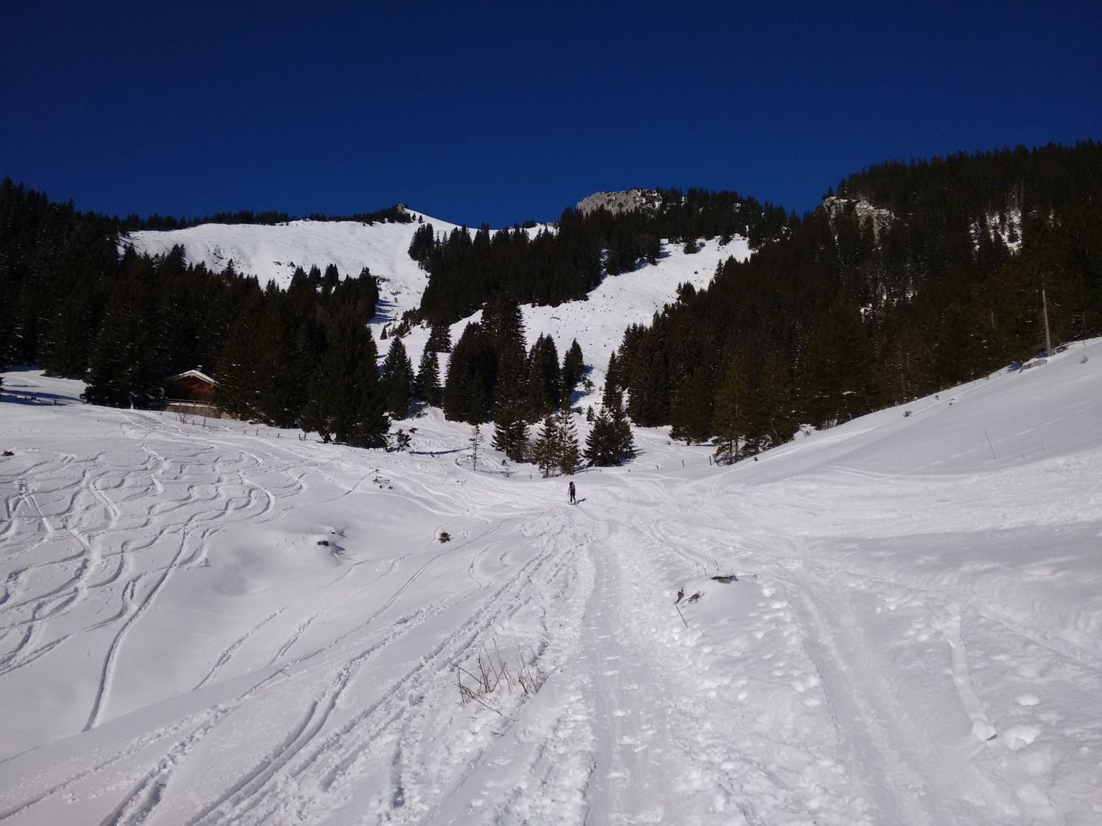
The ascent is relatively unproblematic in terms of orientation, especially as you can already see the target and the ascent route right from the beginning. At first it goes relatively flat across alpine meadows towards the northwest. A few minutes after the start, a prominent and steep forest lane is already visible (see photo), which is directly approached. After the steep forest lane, keep to the left as soon as possible and uphill on the western ridge of the summit slope.
Descent & Variants
The safest option is along the ascent track, especially in good conditions there is plenty of space for your own lines on the summit slope.
Photo Gallery
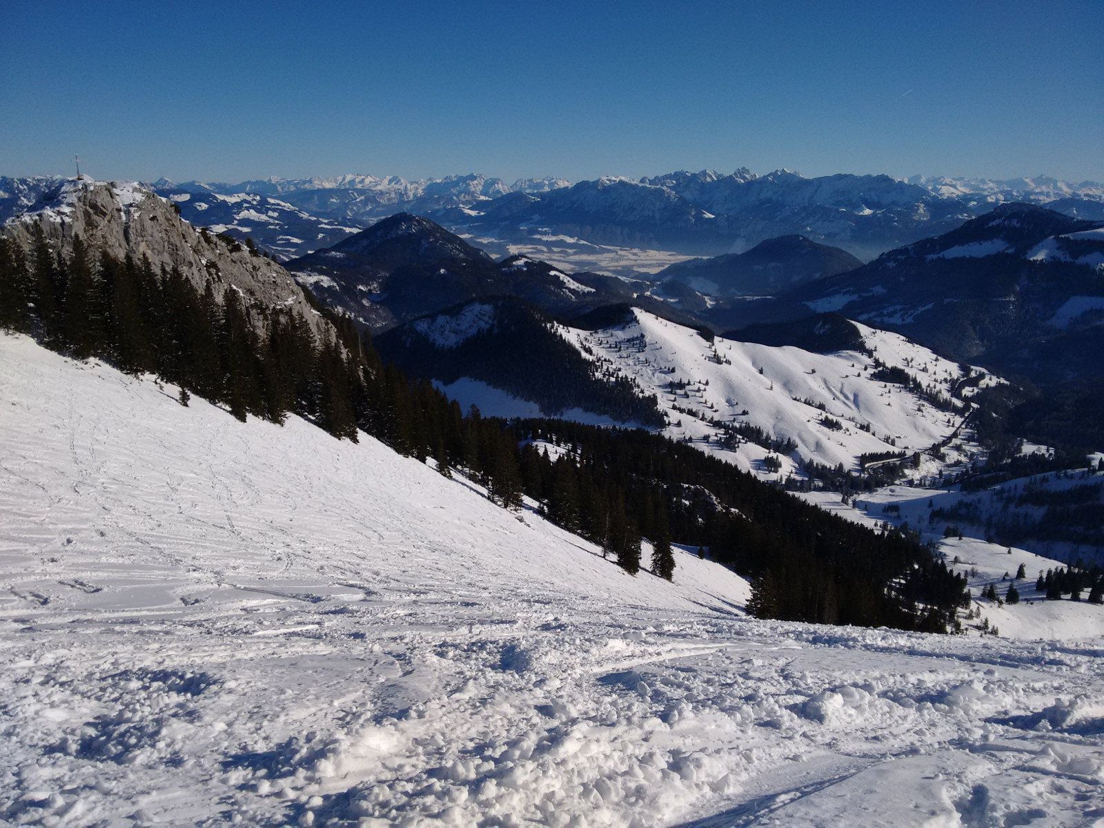
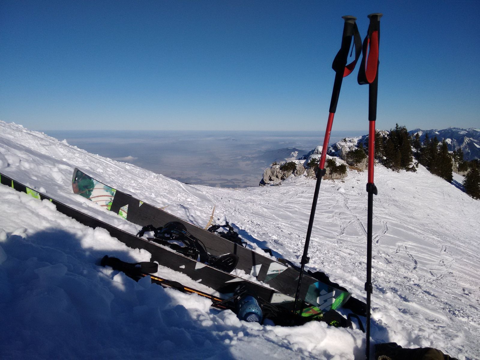
A selection of 3 photos from the tour:
Map and Avalanche Risk
[ASTRO_MAP_INFO_EN]
Image Gallery (3 Photos)
Slope Map
Tour Planning & Important Notes (OpenSlopeMap)
Tour Planning
You can plan and create your own tour directly in the map. The tour can then be downloaded as a GPX track.
Disclaimer
Every user of the map agrees to use the maps provided on OpenSlopeMap.org at their own responsibility and risk. OpenSlopeMap.org and its operators accept no responsibility for damages.
Map Explanation
- Slope inclinations are a very important criterion in avalanche risk management. However, slope inclination alone should never be the sole criterion!
- The resolution for Austria and South Tyrol is based on a digital terrain model (DTM) with 10m resolution. Outside these areas, accuracy is significantly lower.
- A map can only ever provide a limited view of real conditions.
Frequently Asked Questions
How difficult is this splitboard route?
The route is classified with difficulty level 4.
How many vertical meters does the tour include?
The ascent covers approximately 700 vertical meters.
How long does the ascent take?
The tour takes around 2 hours.
Where does the route start?
The starting point of the tour is Bayrischzell.