Wetterkreuzkogel
Route Character
Scenically beautiful Splitboard / Ski Tour for beginners in varied terrain. With descreet choice off track, barley avalanche endangered.
Starting Point & Village
Starting point:
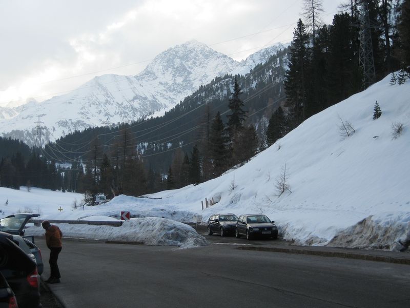
Parking at the small parking lot or at the parking spot at the street.
Village: Kühtai
Ascent & Route
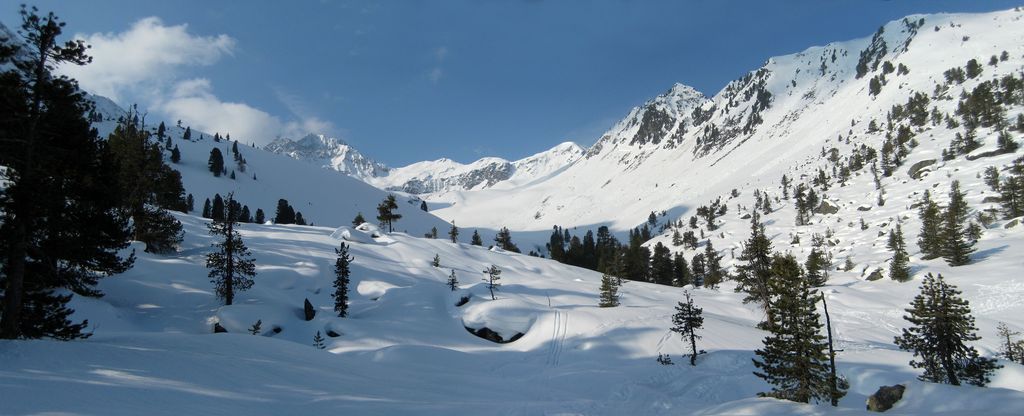
From the parking lot southeast into the wood and soon steep up the often moguled descent path. With poor snow conditions, mainly in spring, we mount our splitboard crampons already at the parking, it's easier. As soon as the forest clears up, we reach the small plateau of Obere Issalp. Depending on conditions we choose the further ascent, either on the left or right side of the valley (Wörgetal).
left (direct): We hike, in respectable distance to the West face of Schafzoll, Vorderer and Hinterer Karlesspitze, over two small ridges from the lower to the upper Issböden. Here we meet the ascent track of the other option.
right: At the clearing we initially follow the summer trail, cross the stream and overcome the steep step in front of us on the right side over a wide, medium steep northwest-slope. Smooth on in southeaster direction onto the upper Issböden.
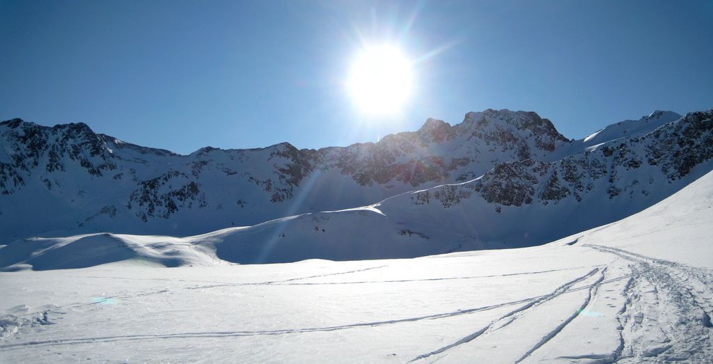
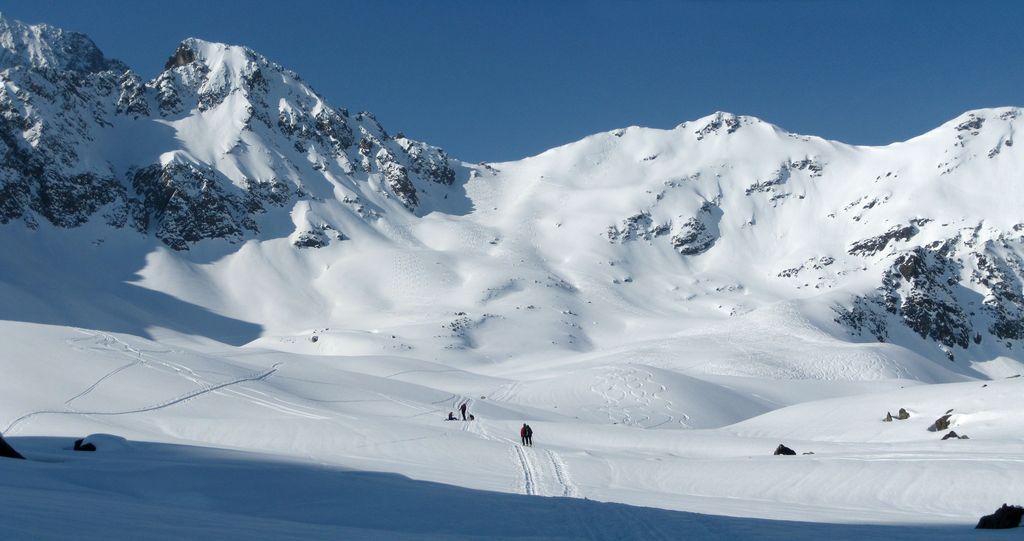
From there in a wide right turn in western direction around the Schwarze Wand and becoming steeper through a basin up the final slope. At the wide spaced summit we have great panoramic and deep views into Ötztal.
Descent & Variants
Like ascent, from the summit down to upper Issböden and then however you like, depending on conditions, from medium steep to smooth down to upper Issalp and through the often moguled forest back to the starting point.
Maps
Alpenvereinskarte 31/2 Stubaier Alpen Sellrain 1 : 25 000 Topographische Karte
Kompass Karte: Imst, Telfs, Kühtai, Mieminger Kette: Wander-, Rad- und Skitourenkarte. 1:50.000
Photo Gallery
A selection of 4 photos from the tour:
Map and Avalanche Risk
[ASTRO_MAP_INFO_EN]
Image Gallery (4 Photos)
Show all 1 more photos
Slope Map
Tour Planning & Important Notes (OpenSlopeMap)
Tour Planning
You can plan and create your own tour directly in the map. The tour can then be downloaded as a GPX track.
Disclaimer
Every user of the map agrees to use the maps provided on OpenSlopeMap.org at their own responsibility and risk. OpenSlopeMap.org and its operators accept no responsibility for damages.
Map Explanation
- Slope inclinations are a very important criterion in avalanche risk management. However, slope inclination alone should never be the sole criterion!
- The resolution for Austria and South Tyrol is based on a digital terrain model (DTM) with 10m resolution. Outside these areas, accuracy is significantly lower.
- A map can only ever provide a limited view of real conditions.
Frequently Asked Questions
How difficult is this splitboard route?
The route is classified with difficulty level 2.
How many vertical meters does the tour include?
The ascent covers approximately 857 vertical meters.
How long does the ascent take?
The tour takes around 2.25 hours.
Where does the route start?
The starting point of the tour is Kühtai.