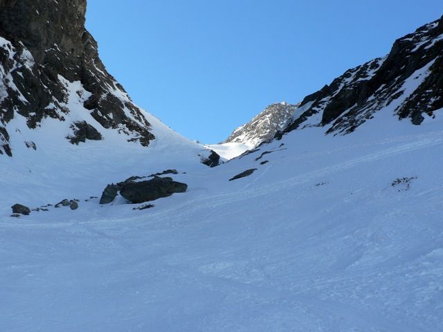
Weitkarspitze
Route Character
A varied “almost 3000 meter” near the Zwieselbacher Rosskogel. The advantage is that it is not a classic ski tour and therefore less frequented.
Starting Point & Village
Starting point: Haggen, Forellenhof. Village: St. Sigmund im Sellrain
Ascent & Route
First we walk along the Kraspesbach into the Kraspesvalley with the Splitboards, crampons ready for the first narrow Zwing. It is a flat approach, but you can easily ride out again. Now we arrive at the “first Zwing”, a steep step, which almost always requires crampons due to its proximity to the stream. Overcoming this first key point we reach again a flat area where we see a small hunting cabin on the right. In a wide left turn we continue in the direction of south-east, to the “second Zwing”. After having mastered this steep step, we reach a kind of high plateau in the form of a valley. Here we stay far away from the steep slopes to our left, from where avalanches are thundering down, and walk along the valley up to an altitude of about 2700m. Here we turn right in the western direction and leave the ascent lane of the “Zwieselbacher Classic”. After about 20 minutes we start to climb the summit slope of Weitkarspitze. The last few meters from the often blown summit we do without slitboards.
Descent & Variants
Like ascent, or a variant in very safe conditions,…
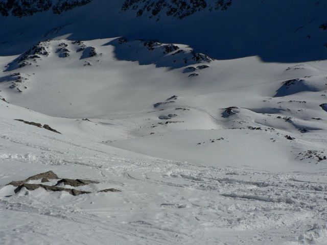
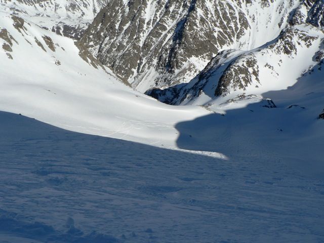
At about 2700m you cross a small Jöchel towards the north. Further north you drive directly towards the Wilde Kar. Once you have passed the rocks above the Kraspeslake, continue down. There you can see a wide chute that runs directly underneath some steep walls (caution avalanches can come from above) to the Kuhbichl. Here you return to the ascent track, take a good swing to overcome the flat part of the hunting cabin and come back to the first Zwing. After this point it’s a flat ride back to the parking lot.
Maps
Alpenvereinskarte 31/2 Stubaier Alpen Sellrain 1 : 25 000 Topographische Karte
Photo Gallery
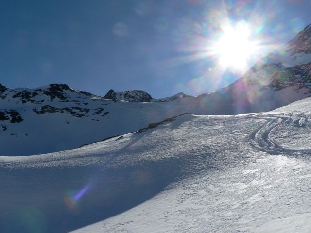
A selection of 4 photos from the tour:
Map and Avalanche Risk
[ASTRO_MAP_INFO_EN]
Image Gallery (4 Photos)
Show all 1 more photos
Slope Map
Tour Planning & Important Notes (OpenSlopeMap)
Tour Planning
You can plan and create your own tour directly in the map. The tour can then be downloaded as a GPX track.
Disclaimer
Every user of the map agrees to use the maps provided on OpenSlopeMap.org at their own responsibility and risk. OpenSlopeMap.org and its operators accept no responsibility for damages.
Map Explanation
- Slope inclinations are a very important criterion in avalanche risk management. However, slope inclination alone should never be the sole criterion!
- The resolution for Austria and South Tyrol is based on a digital terrain model (DTM) with 10m resolution. Outside these areas, accuracy is significantly lower.
- A map can only ever provide a limited view of real conditions.
Frequently Asked Questions
How difficult is this splitboard route?
The route is classified with difficulty level 4.
How many vertical meters does the tour include?
The ascent covers approximately 1300 vertical meters.
How long does the ascent take?
The tour takes around 3.5 hours.
Where does the route start?
The starting point of the tour is St. Sigmund im Sellrain.