Weissseespitze
Route Character
Scenic Splitboard / ski trip, by shortening with the lift short but challenging. The descent over the Gepatschferner is rather flat (2 sliding parts that can be overcome without skins) but scenically rewarding.
Starting Point & Village
Starting point:
Kaunertal glacier, mountain station of Nörderjoch lift
Village: KaunertalAscent & Route
To our knowledge, there are four ascents on the Weißseespitze.
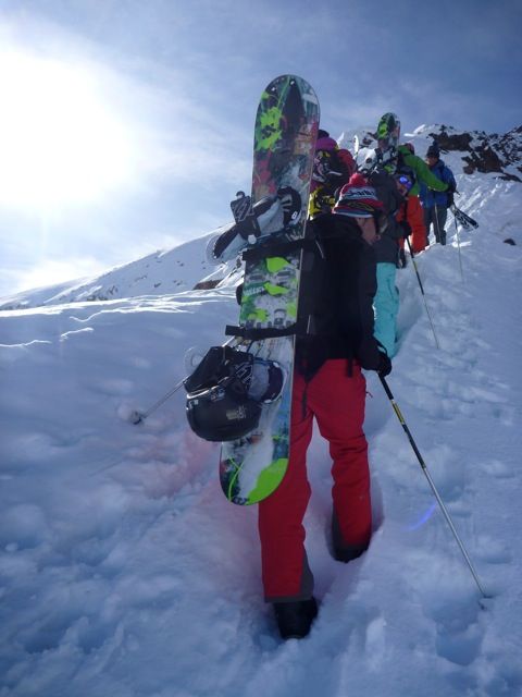
Option 1 (we commited): Starts at the Nörderjoch lift mountain station, then it goes up on the ridge until you reach a kind of plateau. Here we put the skins on our splitboards / touring skis and make a relatively steep crossing in south-eastern direction, then up a steep step and finally flat to the summit.
We haven't done the other options yet!
Option 2: Go up with the Weißseeferner t-bar lift then climb steeply to the south. For this option, ice ax and crampons are recommended for the upper part.
Option 3: A little flatter from the t-bar lift Nörderjoch in direction "Zahn" (3377m) and then in a steep traverse into a gap and from there on easy terrain to the summit.
Option 4: Starts at Nörderjoch t-bar lift, too. We go up to the lift house and cross the ridge at a suitable location. Then we ride down a couple of meters on the other side. We keep right, climb a steep step and then very flat to the summit on Gepatschferner, around the "Zahn" to the summit of Weisseespitze.
Descent & Variants
Again, there are several options. I can describe only one, as I have not done the others. This option is of an unique landscape, the driving skills rather undemanding (there is the one or the other flat section that can be overcome, however, without skinning).
For glacier-experienced and with good visibility, it first goes south-east to about 3300m, then flat to north-east but beautifully down the Gepatschferner to 2900m. Now we go on to Rauhekopf Hut. Once there, we head east to approx 2600m, now at the beginning we stick near the rock face and then traverse the glacier at an appropriate place (2520-2540m). Now we come to the summer trail 902 and follow this to the Gepatschalm.
Maps
Alpenvereinskarte 30/2 Ötztaler Alpen Weißkugel 1 : 25 000 Topographische Karte
Photo Gallery
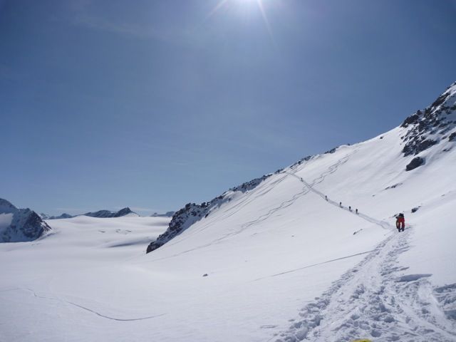
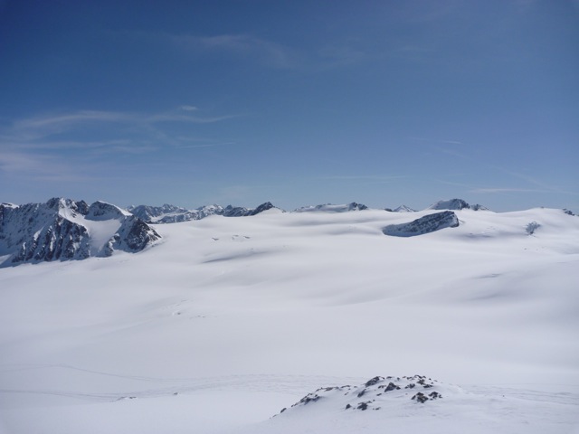
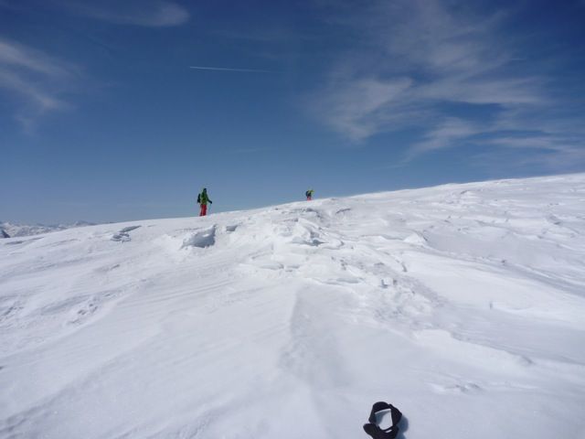
A selection of 5 photos from the tour:
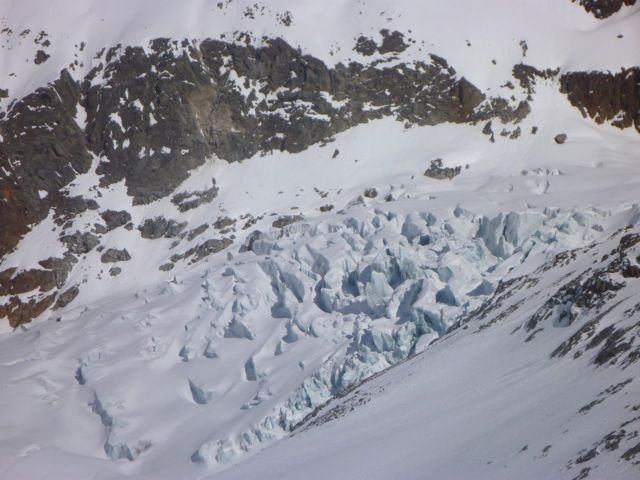
Map and Avalanche Risk
[ASTRO_MAP_INFO_EN]
Image Gallery (5 Photos)
Show all 2 more photos
Slope Map
Tour Planning & Important Notes (OpenSlopeMap)
Tour Planning
You can plan and create your own tour directly in the map. The tour can then be downloaded as a GPX track.
Disclaimer
Every user of the map agrees to use the maps provided on OpenSlopeMap.org at their own responsibility and risk. OpenSlopeMap.org and its operators accept no responsibility for damages.
Map Explanation
- Slope inclinations are a very important criterion in avalanche risk management. However, slope inclination alone should never be the sole criterion!
- The resolution for Austria and South Tyrol is based on a digital terrain model (DTM) with 10m resolution. Outside these areas, accuracy is significantly lower.
- A map can only ever provide a limited view of real conditions.
Frequently Asked Questions
How difficult is this splitboard route?
The route is classified with difficulty level 5.
How many vertical meters does the tour include?
The ascent covers approximately 618 vertical meters.
How long does the ascent take?
The tour takes around 1.5 hours.
Where does the route start?
The starting point of the tour is Kaunertal.