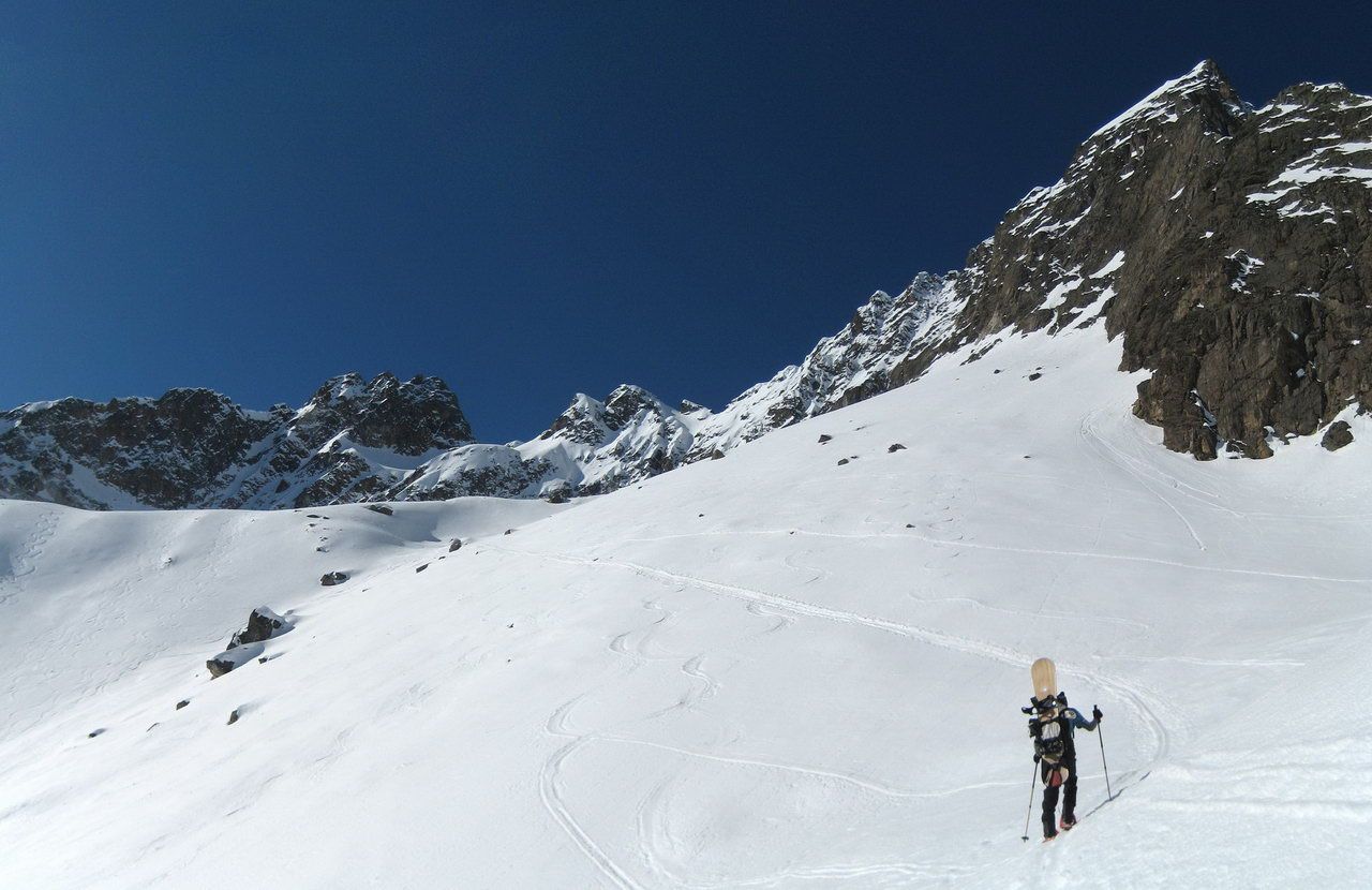
Wechnerscharte
Route Character
At the upper part of this Splitboard backcountry route you can find good powder untill spring due to it`s exposition (North). Unless the last part of the ascent this backcountry splitboard route is quite easy.
Starting Point & Village
Starting point:
You can find a few free parking lots at the northwestern side of the lake, mainly used by splitboard friends and backcountry skiers.
Village: KühtaiAscent & Route
From the parking lot along the cross-country ski trail over the dam and to the right, riseing slightly above the forest road through the forest in southwest into the Mittertal. The right tracks branching to Schafzoll and the Vordere Karlesspitze we ignore today and follow the brook almost plane up the valley. We keep on the right side of the valley passing by a short steep section we reach the Seelesboden (2,181 m). Now again a little bit planer we cross the foot of the Hintere Karlesspitze, keep still to the right and skin up to Roßböden, the steep branches of the Maningkogel.
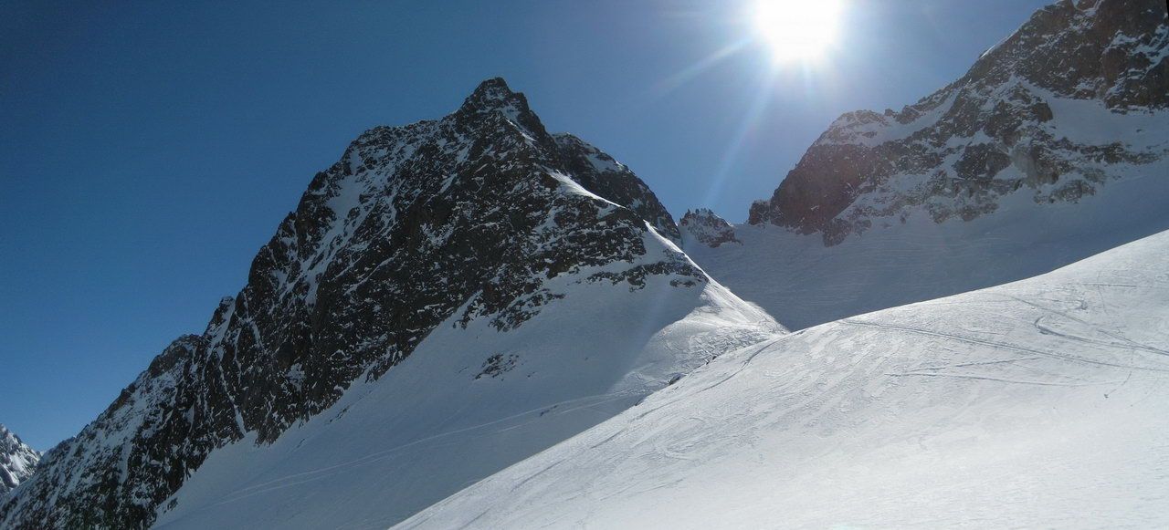
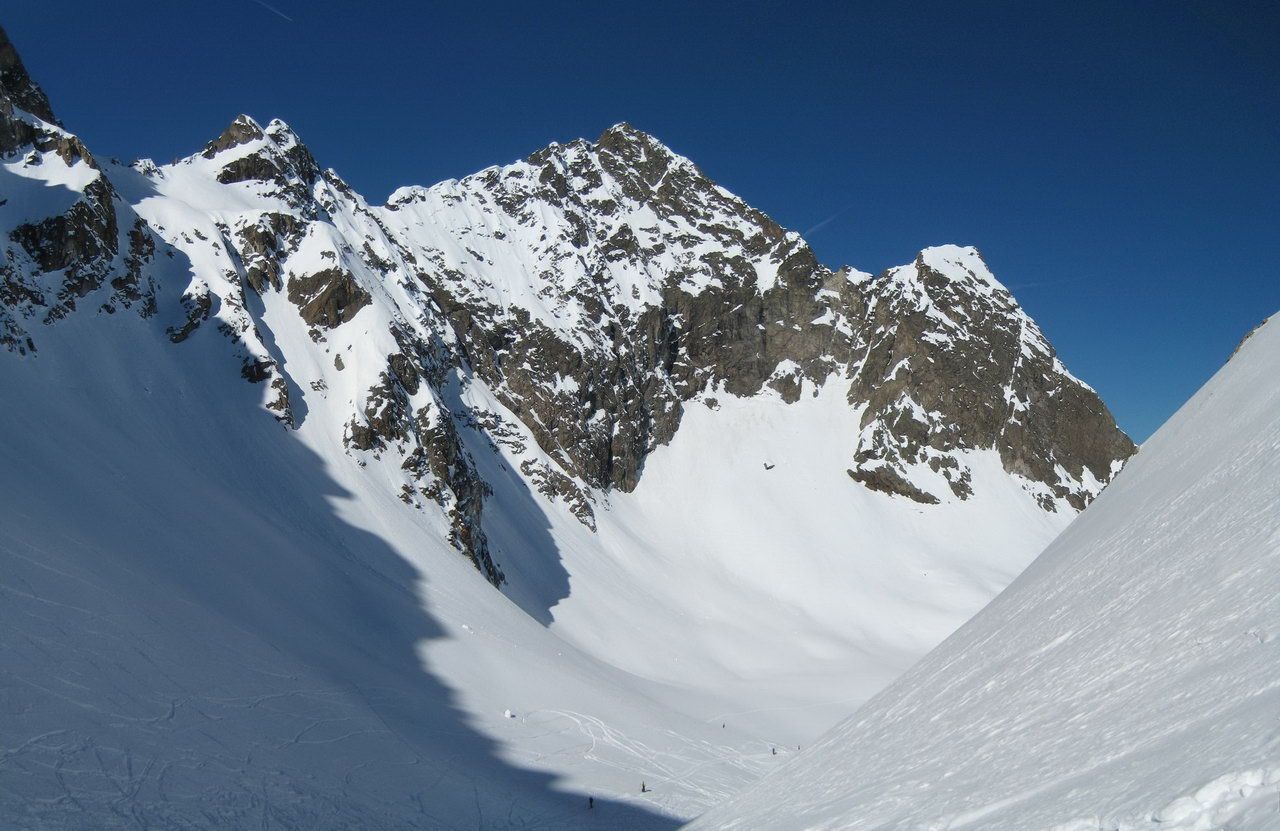
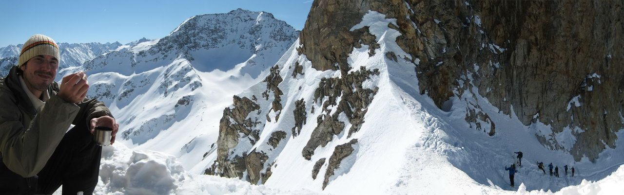
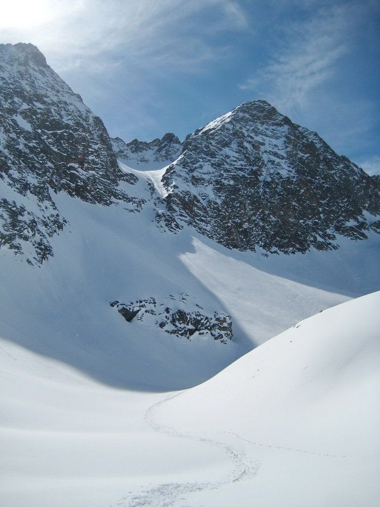
The subsequent crossing of the south-west edge is frequently exposed to avalanches. After a short steep upturn at the end of the crossing, we reach the former glacier basin of Mittertalferner. From here we already can see our "peak" the Wechnerscharte (the right one). Doing many kickturns, we will ascent it. At the top and without wind, we will find an excellent place for a snack. We mount our splitboards and backcountry stuff and enjoy the ride down.
Descent & Variants
- as ascent
- at safe conditions you can keep to the right at the plane section of the glacier basin and drop into a steep descent irectly below the Wechnerwand down to the Roßböden.
Maps
Alpenvereinskarte 31/2 Stubaier Alpen Sellrain 1 : 25 000 Topographische Karte
Kompass Karte: Imst, Telfs, Kühtai, Mieminger Kette: Wander-, Rad- und Skitourenkarte. 1:50.000
Photo Gallery
A selection of 5 photos from the tour:
Map and Avalanche Risk
[ASTRO_MAP_INFO_EN]
Image Gallery (5 Photos)
Show all 2 more photos
Slope Map
Tour Planning & Important Notes (OpenSlopeMap)
Tour Planning
You can plan and create your own tour directly in the map. The tour can then be downloaded as a GPX track.
Disclaimer
Every user of the map agrees to use the maps provided on OpenSlopeMap.org at their own responsibility and risk. OpenSlopeMap.org and its operators accept no responsibility for damages.
Map Explanation
- Slope inclinations are a very important criterion in avalanche risk management. However, slope inclination alone should never be the sole criterion!
- The resolution for Austria and South Tyrol is based on a digital terrain model (DTM) with 10m resolution. Outside these areas, accuracy is significantly lower.
- A map can only ever provide a limited view of real conditions.
Frequently Asked Questions
How difficult is this splitboard route?
The route is classified with difficulty level 3.
How many vertical meters does the tour include?
The ascent covers approximately 893 vertical meters.
How long does the ascent take?
The tour takes around 2.5 hours.
Where does the route start?
The starting point of the tour is Kühtai.