Wank via Frauenmahd
Route Character
Medium-heavy and under good conditions highly frequented Garmischer local classic skitouring route with stops at the Wankhaus and the Esterbergalm. Descent over the slopes of the former ski area.
Due to the flat outlet with short ascent in the area of the Esterbergalm, it is not possible to ride the Splittboard without unbuckling it.
Starting Point & Village
Starting point: Parking at the base station of the Wankbahn Village: Garmisch-Partenkirchen
Ascent & Route
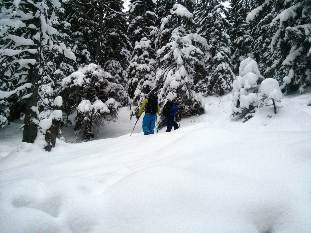
From the parking lot at the bottom station we first follow the narrow path 300mm uphill starting at the large map of the area, then cross the asphalt road and follow the path which now runs further below the Wankbahn. After another 300m we turn left onto the broad forest road coming from the high ropes course. This trail leads us past the Daxkapelle in the direction of Esterbergalm (signposted W1). At the Frauenmahdsattel (1279 m) we turn right off the forest road to follow the hairpin bends in the path of the light coniferous forest to below the ridge. There the climb turns left and the terrain becomes flatter. Over the mountain ridge we reach the Wankhaus!
Descent & Variants
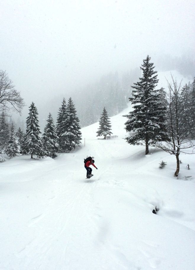
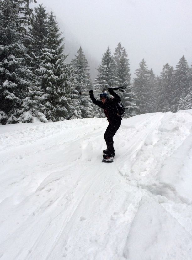
From the Wankhaus we start the descent towards the eastern mountain ridge to the Rosswank. On the wide pistes of the old ski area, turn left into the basin of the Esterbergalm. From here the board must be unbuckled (or converted to ski mode) to follow the flat forest path west to the Frauenmahdsattel. From here you can put your board back in ride mode and ride along the ascent route in the direction of the starting point. Due to of some short flat sections it is advisable to keep the sticks in your hand from here on for pushing. Arriving at the road we follow it to the right downhill to the starting point.
Maps
Topogr. Karte “Werdenfelser Land” 1:50 000
Photo Gallery
A selection of 5 photos from the tour:
Map and Avalanche Risk
[ASTRO_MAP_INFO_EN]
Image Gallery (5 Photos)
Show all 2 more photos
Slope Map
Tour Planning & Important Notes (OpenSlopeMap)
Tour Planning
You can plan and create your own tour directly in the map. The tour can then be downloaded as a GPX track.
Disclaimer
Every user of the map agrees to use the maps provided on OpenSlopeMap.org at their own responsibility and risk. OpenSlopeMap.org and its operators accept no responsibility for damages.
Map Explanation
- Slope inclinations are a very important criterion in avalanche risk management. However, slope inclination alone should never be the sole criterion!
- The resolution for Austria and South Tyrol is based on a digital terrain model (DTM) with 10m resolution. Outside these areas, accuracy is significantly lower.
- A map can only ever provide a limited view of real conditions.
Frequently Asked Questions
How difficult is this splitboard route?
The route is classified with difficulty level 3.
How many vertical meters does the tour include?
The ascent covers approximately 1075 vertical meters.
How long does the ascent take?
The tour takes around 3 hours.
Where does the route start?
The starting point of the tour is Garmisch-Partenkirchen.