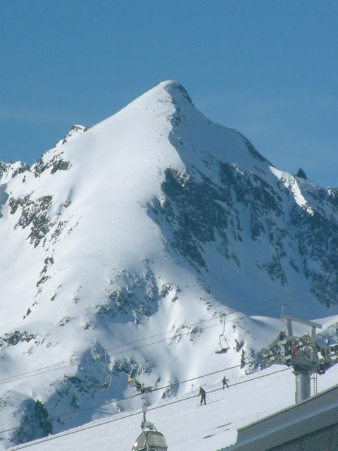
Vordere Karlesspitze
Route Character
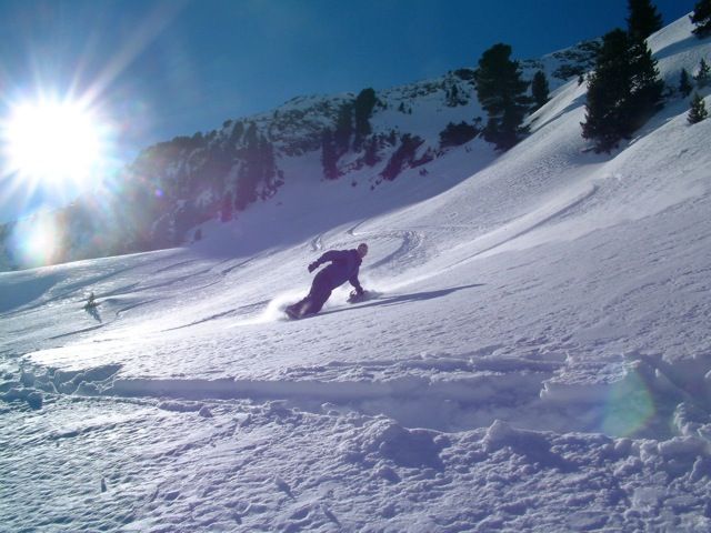
A splitboard / ski tour to the peak at whose view one always thinks: I’d like to ride this slope untracked. But be careful, it’s often avalanche endangered.
Starting Point & Village
Starting point: Small car park at the northern end of the reservoir (reservoir Längental) Village: Kühtai
Ascent & Route
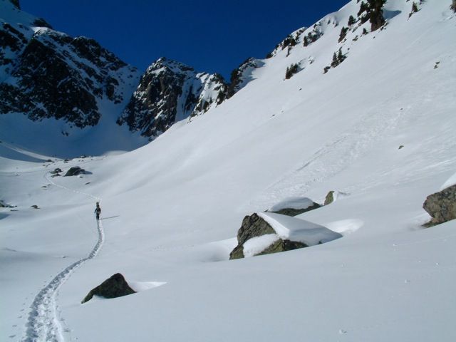
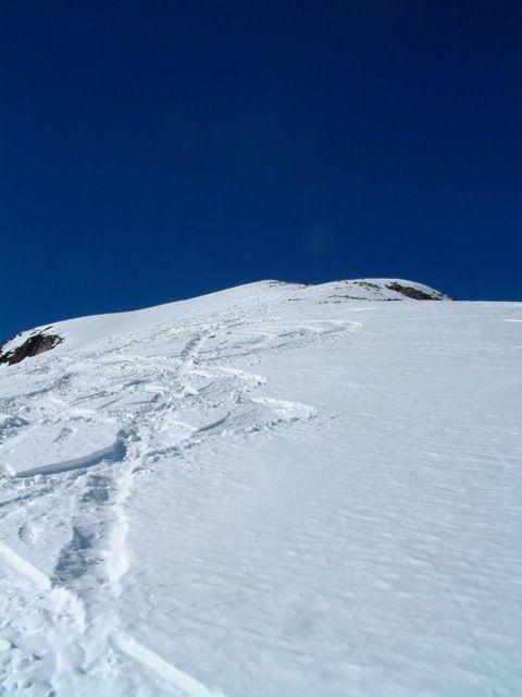
From the small car park, follow the cross-country ski trail along the reservoir (at the beginning like to Schafzoll) and then on a dirt road (or above it) a short way uphill to the west. Shortly before the path ends, one ascends through sparse forest into the Mittertal. At a suitable place we cross the stream and reach nice Splitboard / ski touring terrain. Following the forest lane we ascend further to the west until we traverse at approx. 2.300m to the south-east. We cross a short, falling endangered section above some rocks and arrive directly at the beautiful summit slope. After some kickturns we are on the summit.
We can choose 3 downhill runs, and still come back to our starting point. Of course, the downhill versions can also be used as ascent variants.
Descent & Variants
Option 1: Like ascent, north-east.
Option 2: We ride on the nice summit slope and traverse at approx. 2400m in southern direction, leave the rocks on the left and head back to the starting point in a wide left curve.
Option 3: We ride from the summit in southern direction to the Hinterer Karle, keep a safe distance to the rocks and then return to the downhill track of option 2.
Note: If you want to be sure, it is best to choose the descent that follows the ascent, so that snow conditions can be estimated well and possible rocks can be detected at an early stage.
Refreshments & Huts
Kaspressknödel oder was anderes Gutes in der Dortmunder Hütte, auch gehobene Gastronomie gibt es in Kühtai. Der Blick auf den Hochwanner oder die Vordere Karlesspitze ist wirklich schön.
Maps
Alpenvereinskarte 31/2 Stubaier Alpen Sellrain 1 : 25 000 Topographische Karte
Kompass Karte: Imst, Telfs, Kühtai, Mieminger Kette: Wander-, Rad- und Skitourenkarte. 1:50.000
Photo Gallery
A selection of 4 photos from the tour:
Map and Avalanche Risk
[ASTRO_MAP_INFO_EN]
Image Gallery (4 Photos)
Show all 1 more photos
Slope Map
Tour Planning & Important Notes (OpenSlopeMap)
Tour Planning
You can plan and create your own tour directly in the map. The tour can then be downloaded as a GPX track.
Disclaimer
Every user of the map agrees to use the maps provided on OpenSlopeMap.org at their own responsibility and risk. OpenSlopeMap.org and its operators accept no responsibility for damages.
Map Explanation
- Slope inclinations are a very important criterion in avalanche risk management. However, slope inclination alone should never be the sole criterion!
- The resolution for Austria and South Tyrol is based on a digital terrain model (DTM) with 10m resolution. Outside these areas, accuracy is significantly lower.
- A map can only ever provide a limited view of real conditions.
Frequently Asked Questions
How difficult is this splitboard route?
The route is classified with difficulty level 4.
How many vertical meters does the tour include?
The ascent covers approximately 769 vertical meters.
How long does the ascent take?
The tour takes around 2.5 hours.
Where does the route start?
The starting point of the tour is Kühtai.