Vf. La Cheia Bândei
Route Character
First touring destination of Cabana Valea Simbetei with lots of space and variants at the descent as well as great depth- and panorama views at ascent.
Starting Point & Village
Starting point: The path to Cabana Valea Sambatei (Cabana Sambata) is signposted from the end of the road on. It follows the shape of the valley, crossing the stream once to the west on top of a steep at the beginning of the path (1 - 1,5h depending on starting point). The simple but purposive cabana is serviced and suits well as a base to ski and splitboard the surrounding mountains. Village: Sâmbăta de Sus
Ascent & Route
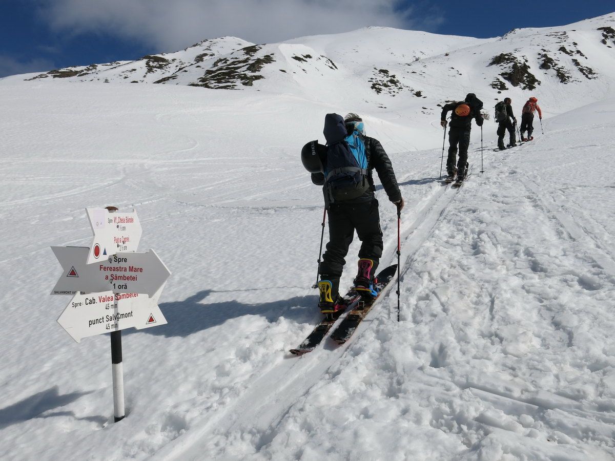
Starting at the cabana and heading further into the valley, you’ll see the sparsely wooded slope on it’s left we’ll leave the valley. First we pass the mountain rescue hut (Salvamont emergency phone: 072-582-6668), go on always on the right side of the stream and in distance to the slopes till we reach the base of the sparsely wooded slope to our left. A signpost Fereastra Mare and our destination Vf. Cheia Bândei points to the left into a small wooded belt on the right side of the gully. We pass through the trees and generally following the summer path (marked with poles), with caution to snow drift areas, up the terrace untill a hill with a cross comes in sight (La Cruce, 1750m)
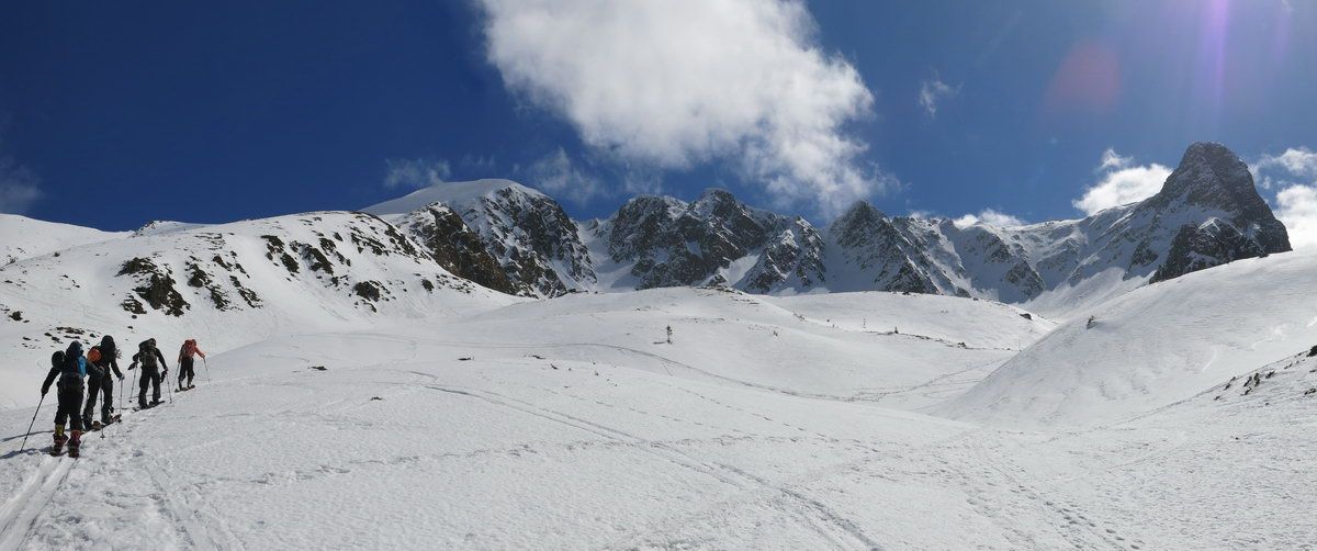
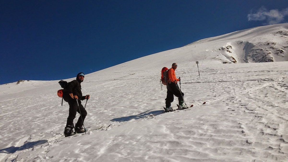
On the bottom of the hill a basin leads us to the left towards our destination. Straight ahead at the maybe snowed in signpost until you can hike up comfortly left hand to the small saddle in the lower part of the summit slope. Then we skin up this northwest slope in wide kickturns, staying more on the right hand side (some pole markers) and in the upper part we turn left towards a seemingly saddle that leads into flatter terrain northwest of the summit. From here you approach the summit slope towards its northwestern flank and skin up in a topwards narrowing curve onto the summit ridge.
Descent & Variants
Directly down the Northwest summit slope towards the flat section and further down the ultra broad pipe with much space to both sides untill it gets flatter first and steeper then. Here above we traverse to the left back towards our ascent track. Down along and left through the small saddle back into the bassins near La Cruce. Then in general following the ascent and down the first slope. Depending on snow you can ride to the cabana without pushing.
Maps
Muntii Fagarasului / Fogarascher-Gebirge, Moldoveanu, Rumänien, Südkarpaten (Transilvanien / Siebenbürgen) topographische Wanderkarte 1:60.000, Dimap Bl.13
Photo Gallery
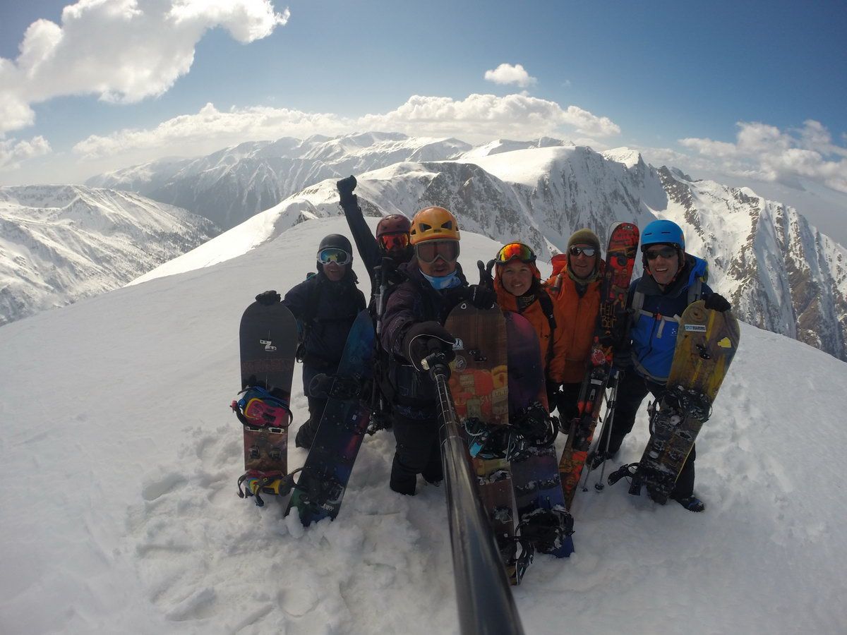
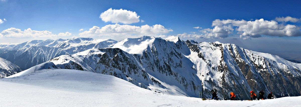
A selection of 5 photos from the tour:
Map and Avalanche Risk
[ASTRO_MAP_INFO_EN]
Image Gallery (5 Photos)
Show all 2 more photos
Slope Map
Tour Planning & Important Notes (OpenSlopeMap)
Tour Planning
You can plan and create your own tour directly in the map. The tour can then be downloaded as a GPX track.
Disclaimer
Every user of the map agrees to use the maps provided on OpenSlopeMap.org at their own responsibility and risk. OpenSlopeMap.org and its operators accept no responsibility for damages.
Map Explanation
- Slope inclinations are a very important criterion in avalanche risk management. However, slope inclination alone should never be the sole criterion!
- The resolution for Austria and South Tyrol is based on a digital terrain model (DTM) with 10m resolution. Outside these areas, accuracy is significantly lower.
- A map can only ever provide a limited view of real conditions.
Frequently Asked Questions
How difficult is this splitboard route?
The route is classified with difficulty level 3.
How many vertical meters does the tour include?
The ascent covers approximately 985 vertical meters.
How long does the ascent take?
The tour takes around 2.5 hours.
Where does the route start?
The starting point of the tour is Sâmbăta de Sus.