Verbeiljoch
Route Character
High alpine, challenging splitboard tour from Stubaier Gletscher ski resort to Sulzenauferner glacier toe, to the Sulzenau hut, and back to the valley. Although this tour does not lead through glaciated terrain, it is only suitable for experienced splitboard alpinists. It requires experience in the construction of belays and the safe use of rope and ice axe. At the comb you have to abseil 20 meters in order to reach the underlying, extremely steep couloir. This tour requires generally safe avalanche conditions.
Starting Point & Village
Starting point: Middle station Eisgrat Gondola / Dresdner Hut Village: Mutterbergalm
Ascent & Route
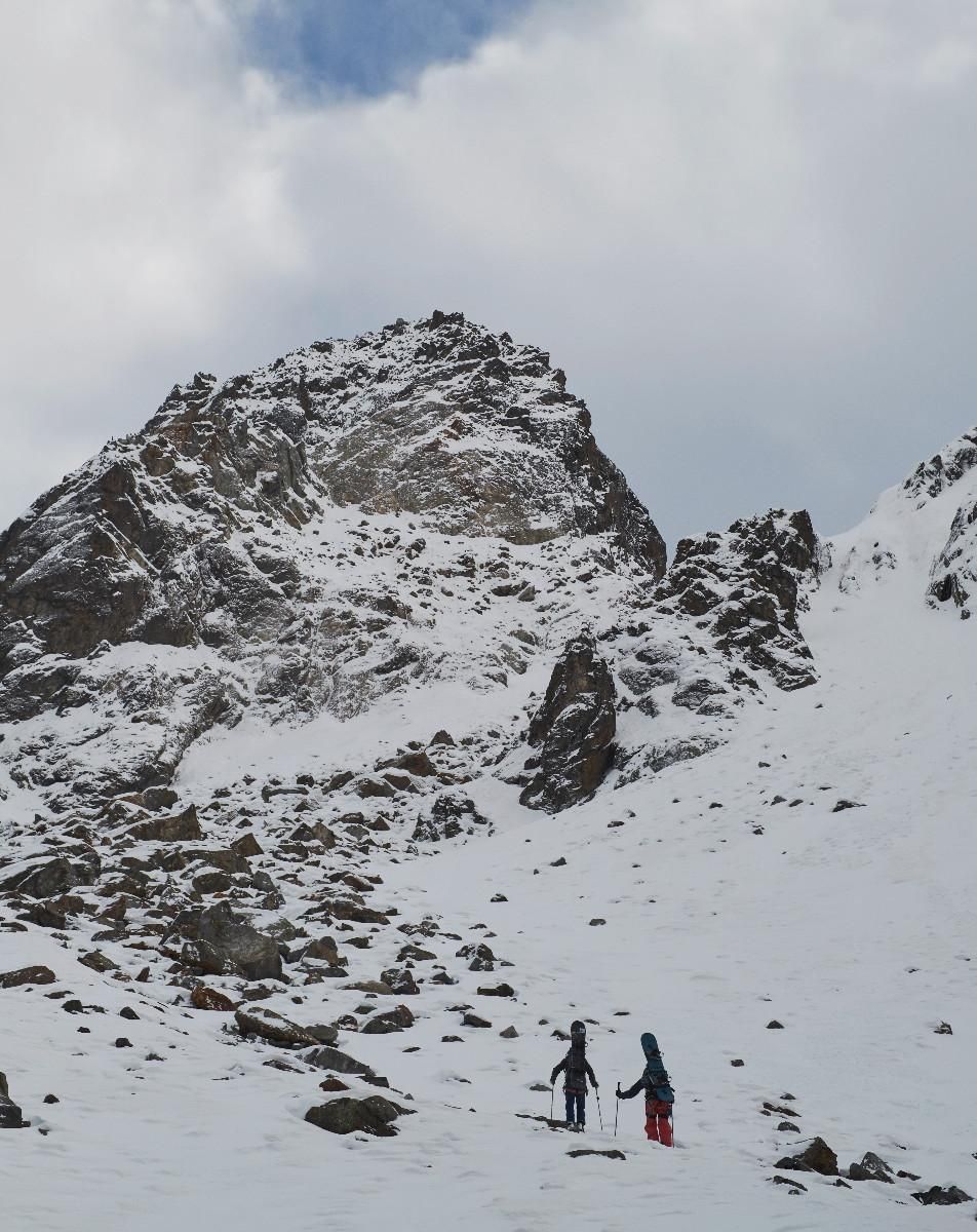
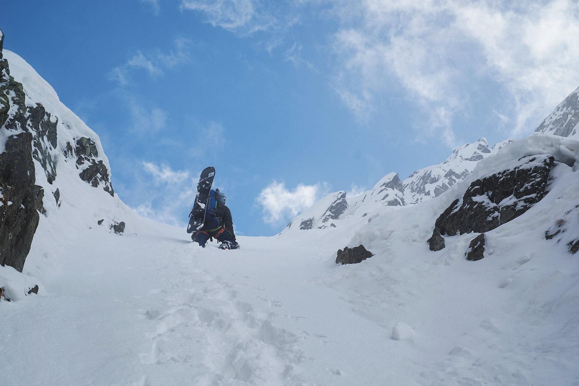
From the middle station, ascent into the distinctive small chute in the direction of Wedlas Schoaßen. The slope of the chute is approx. 45°. Alternatively, you can take the route further to the left, which has a maximum steepness of 35°. At top of the small chute you reach another short, very steep ramp, before the terrain opens again to an extensive cirque. We are now in direct, southern neighbourhood to the Beiljoch, separated by the 2920m high, Nördlicher Fernaukogel. We keep to the left along the rock massif until we reach the jagged rock ridge in southwest direction at an altitude of about 2815hm.
Descent & Variants
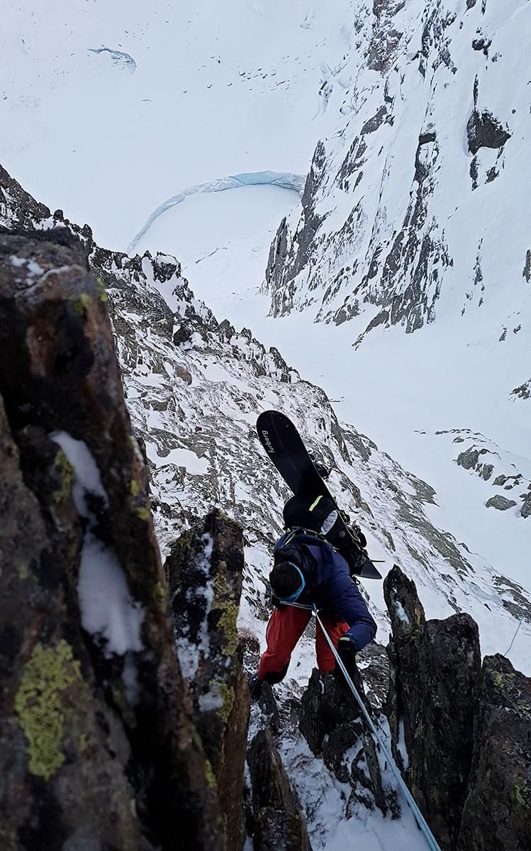
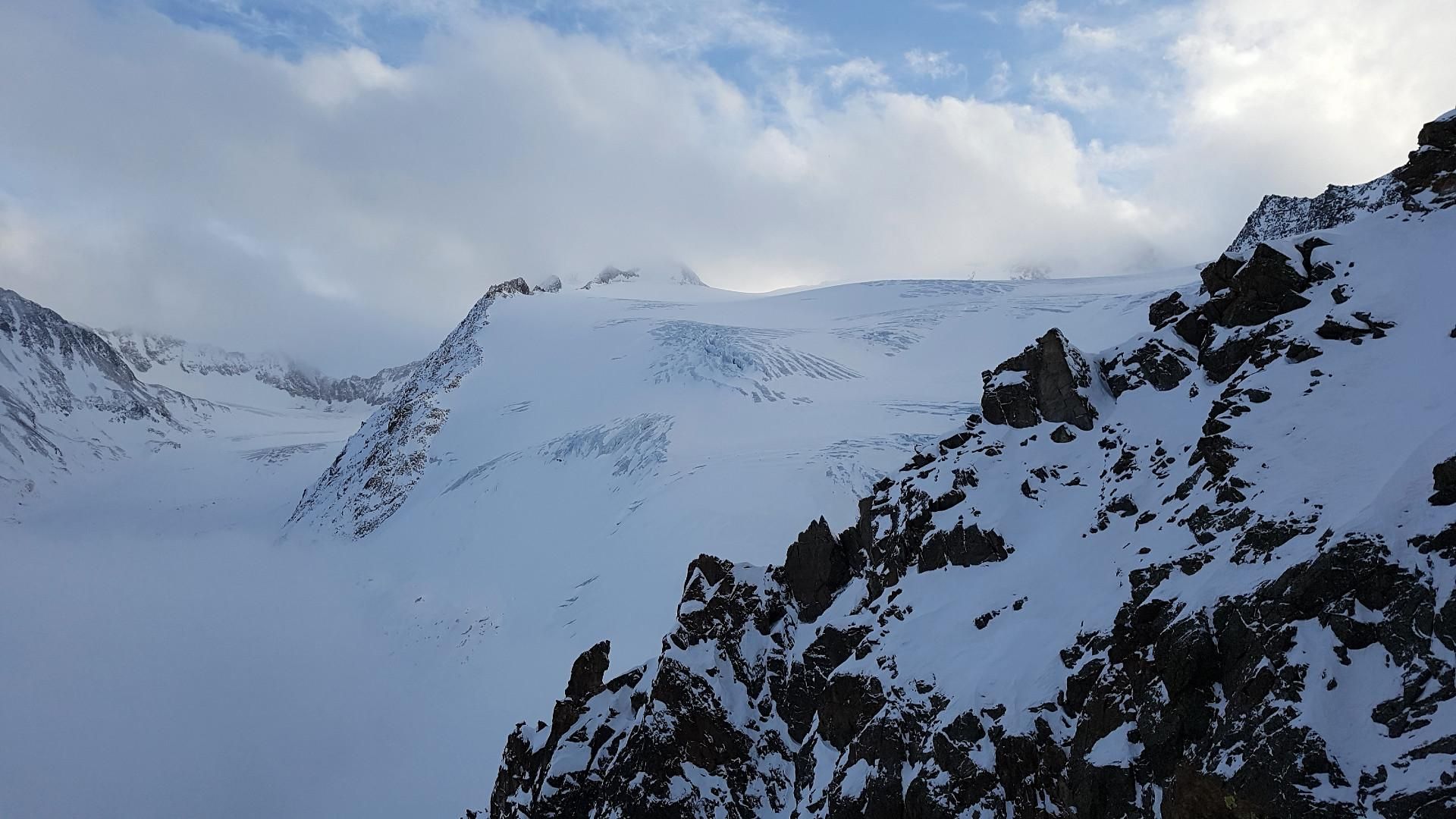
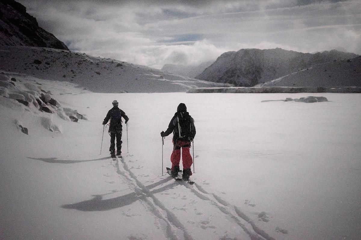
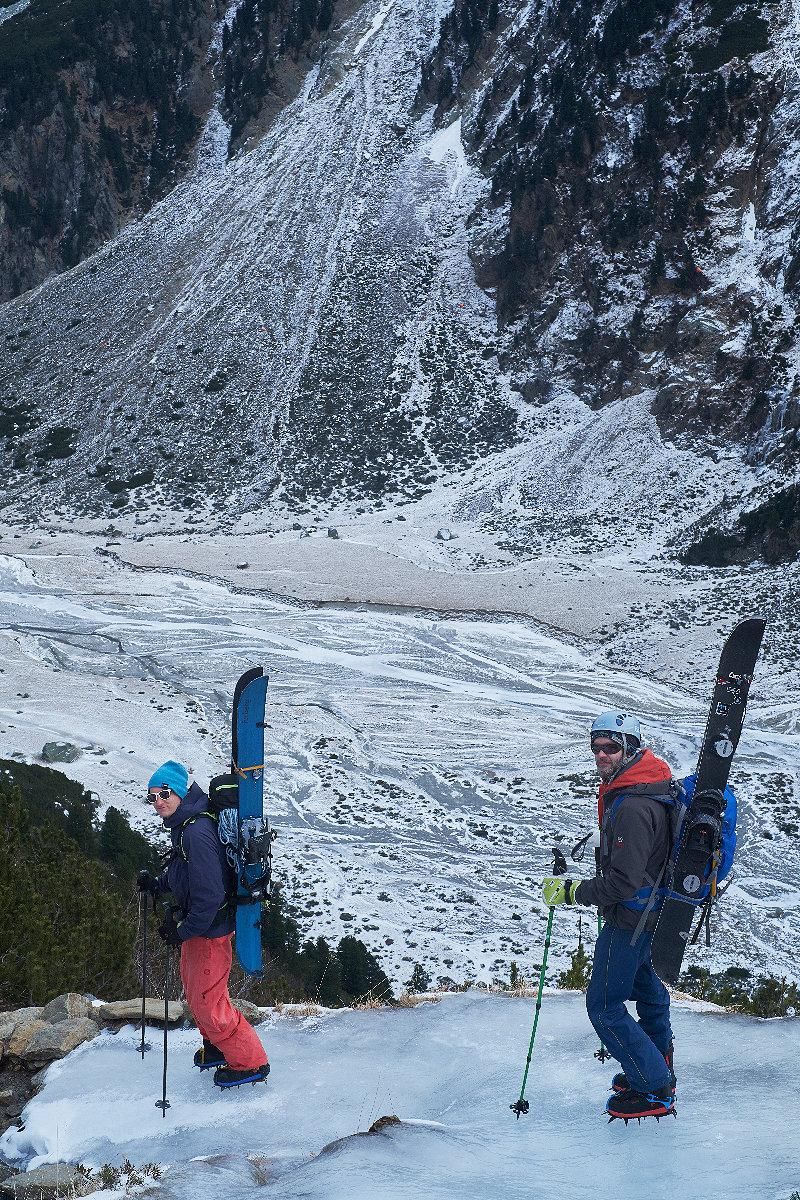
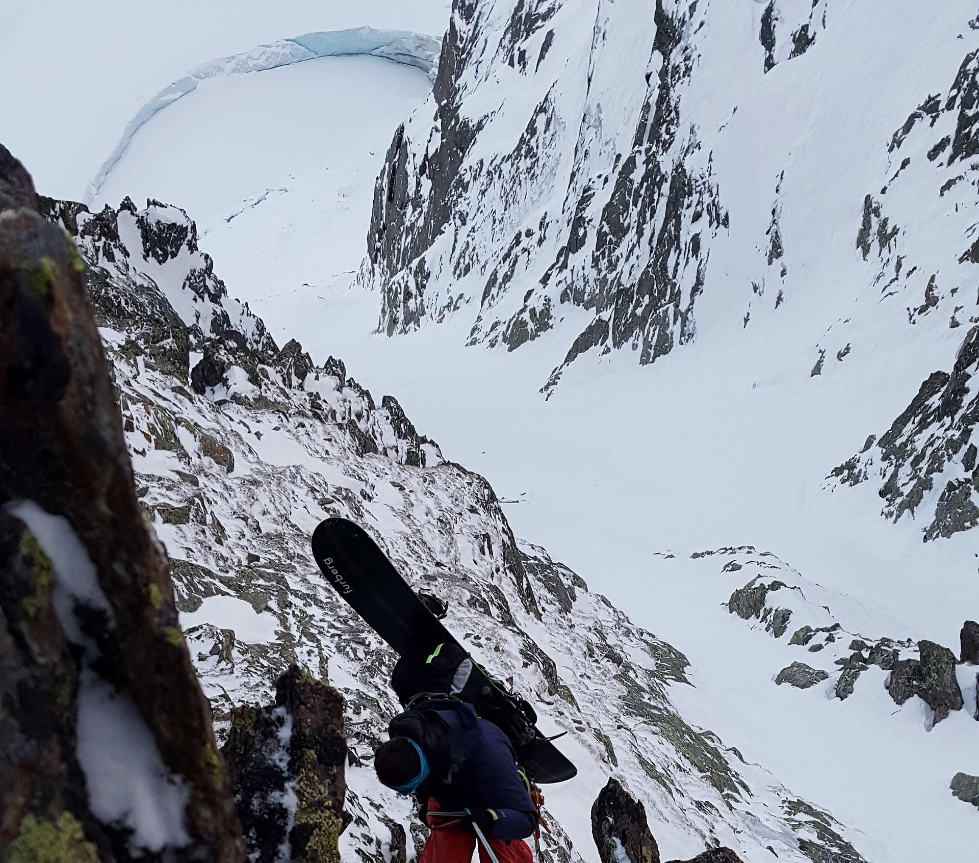
At the latest at the rappelling point you should be sure that the snow conditions are suitable for the exposure and altitude. In unfavourable snow conditions - not only with regard to the avalanche danger - this descent can be very challenging or even impossible. From the rock ridge we rappel about 20 vertical meters into the beginning of a 45° steep couloir. Pay attention to falling rocks. For the tour partners, who already rappelled, there is not much room for free movement there. The slope remains extremely steep throughout and ends in an almost equally steep lateral moraine of the Sulzenau Glacier (we recall that moraine slopes are around 40° steep). We safely descend to the glacier lake, because every mistake can have serious consequences. Arrived at the glacier lake we have overcome the most difficult part of the tour. We enjoy the further descent to the Sulzenau Hut. In very good snow conditions you can even ski down to the Grawa Alm, but most of the time you have to carry the splitboards on your back from the hut or the plateau below. When descending on foot, crampons are needed, as numerous parts of the hiking trail are covered with thick layers of ice. From the Grawa Alm, take the bus back to the gondola.
Refreshments & Huts
A visit of the Grawa Alm for a Kasspatzn or Kaiserschmarn is highly recommended.
Maps
Alpenvereinskarte 31/1 Stubaier Alpen Hochstubai 1 : 25 000 Topographische Karte
Photo Gallery
A selection of 7 photos from the tour:
Map and Avalanche Risk
[ASTRO_MAP_INFO_EN]
Image Gallery (7 Photos)
Show all 4 more photos
Slope Map
Tour Planning & Important Notes (OpenSlopeMap)
Tour Planning
You can plan and create your own tour directly in the map. The tour can then be downloaded as a GPX track.
Disclaimer
Every user of the map agrees to use the maps provided on OpenSlopeMap.org at their own responsibility and risk. OpenSlopeMap.org and its operators accept no responsibility for damages.
Map Explanation
- Slope inclinations are a very important criterion in avalanche risk management. However, slope inclination alone should never be the sole criterion!
- The resolution for Austria and South Tyrol is based on a digital terrain model (DTM) with 10m resolution. Outside these areas, accuracy is significantly lower.
- A map can only ever provide a limited view of real conditions.
Frequently Asked Questions
How difficult is this splitboard route?
The route is classified with difficulty level 303.
How many vertical meters does the tour include?
The ascent covers approximately 756 vertical meters.
How long does the ascent take?
The tour takes around 8 hours.
Where does the route start?
The starting point of the tour is Mutterbergalm.