Tresenta
Route Character
Relaxed route to get to know the stunning area around Gran Paradiso and Rifugio Vittorio Emanuele. From the hut you hike up quite flat in the next valley south of Gran Paradiso. After some time walking it gets steeper and steeper and offers a great ride back to the Rifugio or to the Col Grant Etret. Also there are much less people than on the well know neighbor.
Starting Point & Village
Starting point: Rifugio Vittorio Emanuele, 2731 Meter Village: Valsavarenche
Ascent & Route
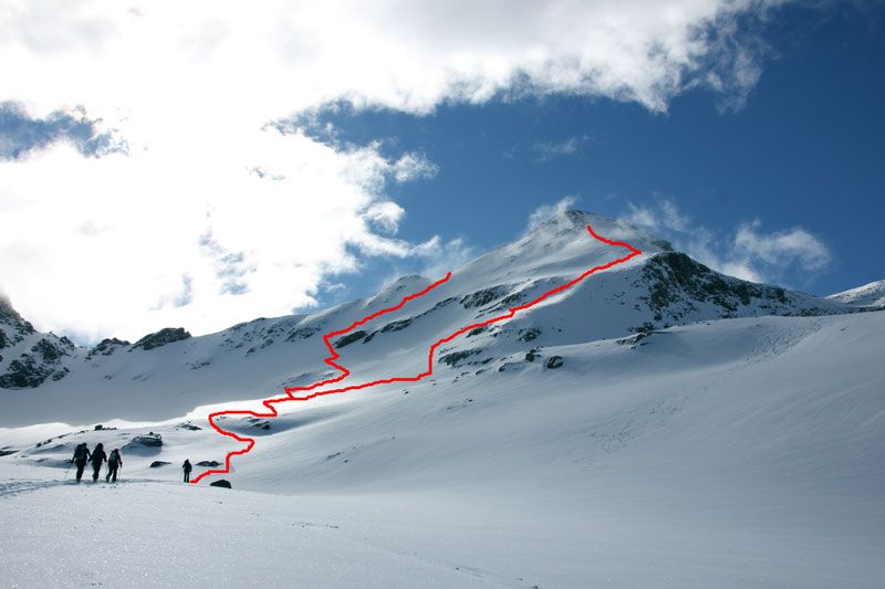
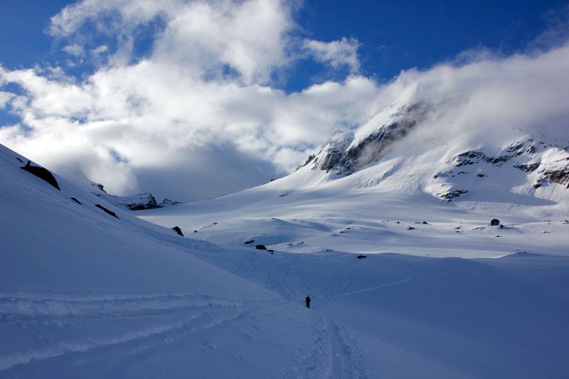
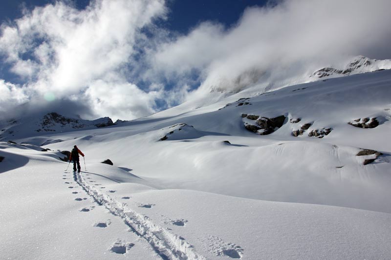
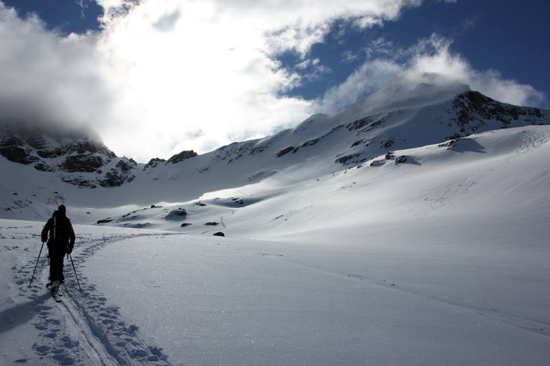
From the hut you go right, into the southern valley and up to Moncorvé Glacier. Through hilly terrain in the middle of the steep walls of Becca Di Moncorvé and the morain, you hike up till you reach a little plateau at around 3100 meters. Here you decide if you want to go up to Tresenta, direction East and then South-East to the great peak slope. The other possibility is to go further south up to the Col di Moncorvé where you find on the left hand the “Eagle Owle Peak” (It is not the official name, but you will recognize if you see it). Opportunity Three is to do both at the same day, which is easily possible if you have the physical fitness.
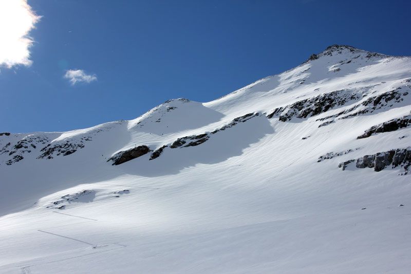
If you made Col di Moncorvé (Uhu Peak) first, you can climb the West Face of Tresenta in Eastern direction.
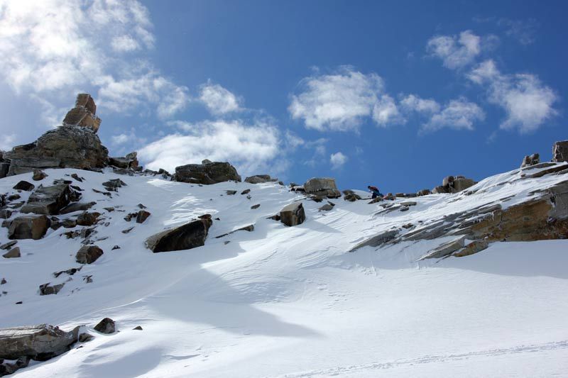
With both variants you have to climb rocky terrain with your splitboard on the back, if you want to reach the top
Not to forget is the Col del Gran Paradiso, which is located directly south from Becca Di Moncorvé at 3345 Meter. From there you can,… well there are so many possibilities to explore the Gran Paradiso national park, just go and check it out.
Descent & Variants
From Tresenta same as ascent!
If you have been at “Eagle Owle (Uhu) Peak” you can cross the Moncorvé Glacier to get back to the hut, sure the crevasses should be closed and the conditions good. If you climb up the ridge to Ciarforon up to the rocks you will get a few meters more to descent.
Maps
IGC 101, Gran Paradiso La Grivola Cogne 1:25000
Photo Gallery
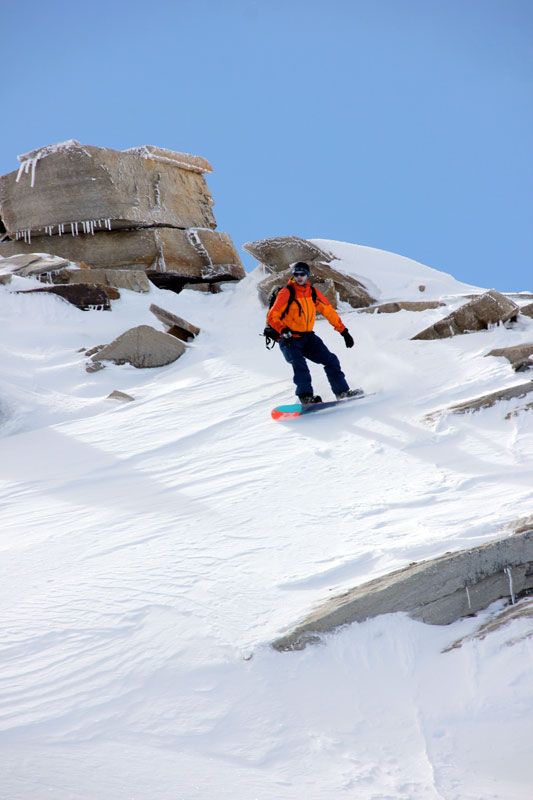
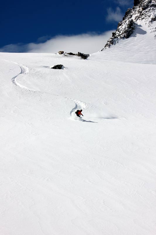
A selection of 10 photos from the tour:
Map and Avalanche Risk
[ASTRO_MAP_INFO_EN]
Image Gallery (10 Photos)
Show all 7 more photos
Slope Map
Tour Planning & Important Notes (OpenSlopeMap)
Tour Planning
You can plan and create your own tour directly in the map. The tour can then be downloaded as a GPX track.
Disclaimer
Every user of the map agrees to use the maps provided on OpenSlopeMap.org at their own responsibility and risk. OpenSlopeMap.org and its operators accept no responsibility for damages.
Map Explanation
- Slope inclinations are a very important criterion in avalanche risk management. However, slope inclination alone should never be the sole criterion!
- The resolution for Austria and South Tyrol is based on a digital terrain model (DTM) with 10m resolution. Outside these areas, accuracy is significantly lower.
- A map can only ever provide a limited view of real conditions.
Frequently Asked Questions
How difficult is this splitboard route?
The route is classified with difficulty level 4.
How many vertical meters does the tour include?
The ascent covers approximately 630 vertical meters.
How long does the ascent take?
The tour takes around 2.25 hours.
Where does the route start?
The starting point of the tour is Valsavarenche.