Taschachhaus
Route Character
The Taschachhaus (open winter and summer) is a good base for splitboard / backcountry adventures. The access and decent is often endangered by avalnches from the steep side slopes of the Mittagskogel. Especially in spring you should keep this in mind.
P.S. recharge your cameras before you start ;-).
Starting Point & Village
Starting point: Valley station of Pitztal cable-car (Pitz Express) Village: St. Leonhard im Pitztal
Ascent & Route
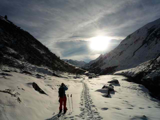
From Mittelberg we start, our splitboards / backcountry skis waxed towards Taschachalm (North West) and then it goes on through the Taschachtal (almost flat) next to the Taschachbach, until the material lift at about 2042m. Now we turn to the right direction again (North West), cross the creek and climb in kickturns onto the moraine. Slightly to the left, we pass through a moraine direction south-west and then west, up to the Taschachhaus. Now we have a great base for all kinds of alpine activities achieved.
There are manifold touring possibilities: Bliggspitze, Hinterer Eiskastenkopf , Hintere Ölgrubenspitze, Wildspitze, Hinterer Brochkogel (steep descent for geeks or kamikazes).
Descent & Variants
As ascent, just let go to have enough speed, if your splitboard isn`t well waxed you might skin out of the valley. Regarding the excellent backcountry options around Taschachhaus it is worth a try.
Maps
Alpenvereinskarte 30/2 Ötztaler Alpen Weißkugel 1 : 25 000 Topographische Karte
Alpenvereinskarte 30/3 Ötztaler Alpen Kaunergrat 1 : 25 000: Topographische Karte
Kompass Karte: Ötztaler Alpen, Ötztal, Pitztal: Wander-, Rad- und Skitourenkarte. 1:50.000
Photo Gallery
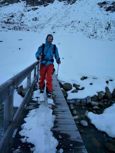
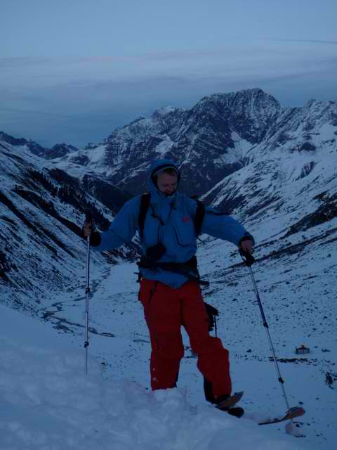
A selection of 3 photos from the tour:
Map and Avalanche Risk
[ASTRO_MAP_INFO_EN]
Image Gallery (3 Photos)
Slope Map
Tour Planning & Important Notes (OpenSlopeMap)
Tour Planning
You can plan and create your own tour directly in the map. The tour can then be downloaded as a GPX track.
Disclaimer
Every user of the map agrees to use the maps provided on OpenSlopeMap.org at their own responsibility and risk. OpenSlopeMap.org and its operators accept no responsibility for damages.
Map Explanation
- Slope inclinations are a very important criterion in avalanche risk management. However, slope inclination alone should never be the sole criterion!
- The resolution for Austria and South Tyrol is based on a digital terrain model (DTM) with 10m resolution. Outside these areas, accuracy is significantly lower.
- A map can only ever provide a limited view of real conditions.
Frequently Asked Questions
How difficult is this splitboard route?
The route is classified with difficulty level 3.
How many vertical meters does the tour include?
The ascent covers approximately 694 vertical meters.
How long does the ascent take?
The tour takes around 2.5 hours.
Where does the route start?
The starting point of the tour is St. Leonhard im Pitztal.