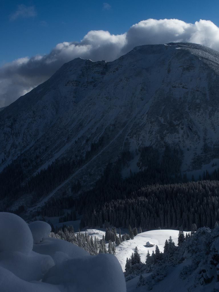
Tanzeck (Spitzingsee)
Route Character
Beautiful view of Taubensteinhaus and down to the Naturfreundehaus. Short tour for a half-day excursion from Munich.
Starting Point & Village
Starting point: Start at the parking lot of the Taubensteinbahn, which is closed in winter. Village: Spitzingsee
Ascent & Route
To the right of the cable car is the piste. First quite steep in a 20-30m wide lane. Then slightly left in the direction of the open field underneath the lift and then left beside the lift uphill to 1360m. Here we keep slightly left. We can easily look down to the Schönfeldhütte on the right. Admin’s note: Because of 10 lost metres in altitude, we do not put ourselves in unnecessary danger and avoid the avalanche slope ( cornice) below the Wilde Fräulein at a sufficient distance, even if 90% of ski tourists do not do so. We pass the upper Schönfeld hut closer and head north-eastwards. here it goes past a rock face uphill again a little bit steeper. As soon as it gets flatter, it goes through a slightly forested narrow path towards the Schnittlauchmoos-Alm. From here it’s only a few minutes up to the Tanzeck.
Descent & Variants
There are several possibilities. I usually ride first south down the slope and then turn right to the west. The descent then takes place on the old ski slopes of the Taubensteinbahn. In between there is a short flat piece where you either take the poles or unbuckle and walk… (see maps)
Photo Gallery
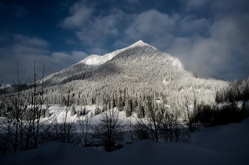
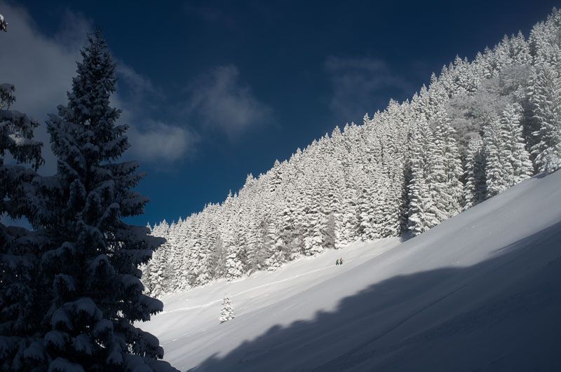
A selection of 3 photos from the tour:
Map and Avalanche Risk
[ASTRO_MAP_INFO_EN]
Image Gallery (3 Photos)
Slope Map
Tour Planning & Important Notes (OpenSlopeMap)
Tour Planning
You can plan and create your own tour directly in the map. The tour can then be downloaded as a GPX track.
Disclaimer
Every user of the map agrees to use the maps provided on OpenSlopeMap.org at their own responsibility and risk. OpenSlopeMap.org and its operators accept no responsibility for damages.
Map Explanation
- Slope inclinations are a very important criterion in avalanche risk management. However, slope inclination alone should never be the sole criterion!
- The resolution for Austria and South Tyrol is based on a digital terrain model (DTM) with 10m resolution. Outside these areas, accuracy is significantly lower.
- A map can only ever provide a limited view of real conditions.
Frequently Asked Questions
How difficult is this splitboard route?
The route is classified with difficulty level 3.
How many vertical meters does the tour include?
The ascent covers approximately 550 vertical meters.
How long does the ascent take?
The tour takes around 2 hours.
Where does the route start?
The starting point of the tour is Spitzingsee.