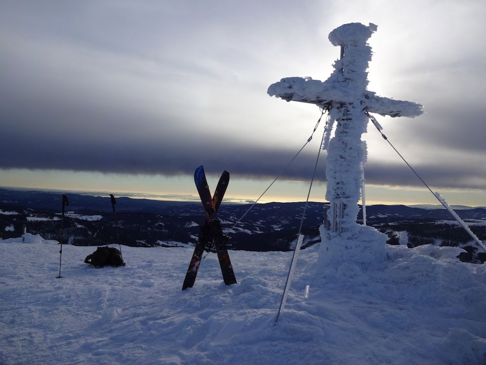
Speikkogel
Route Character
Many different downhill runs. Fast ascent and easy.
Starting Point & Village
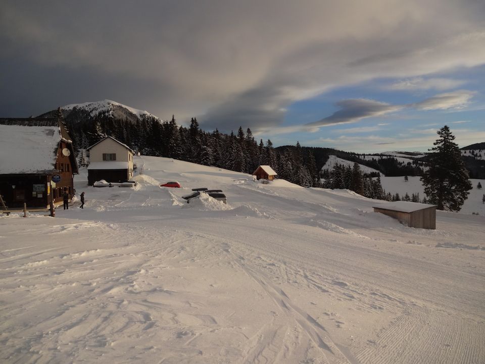
Starting point: Salzstieglhaus 1.500m (toboggan run start), can be reached by car. Sufficient parking spaces available.
Coming from the motorway, you can also start from the valley station and save yourself the first 35-40 minutes walking tours and take the lift. Village: Hirschegg
Ascent & Route
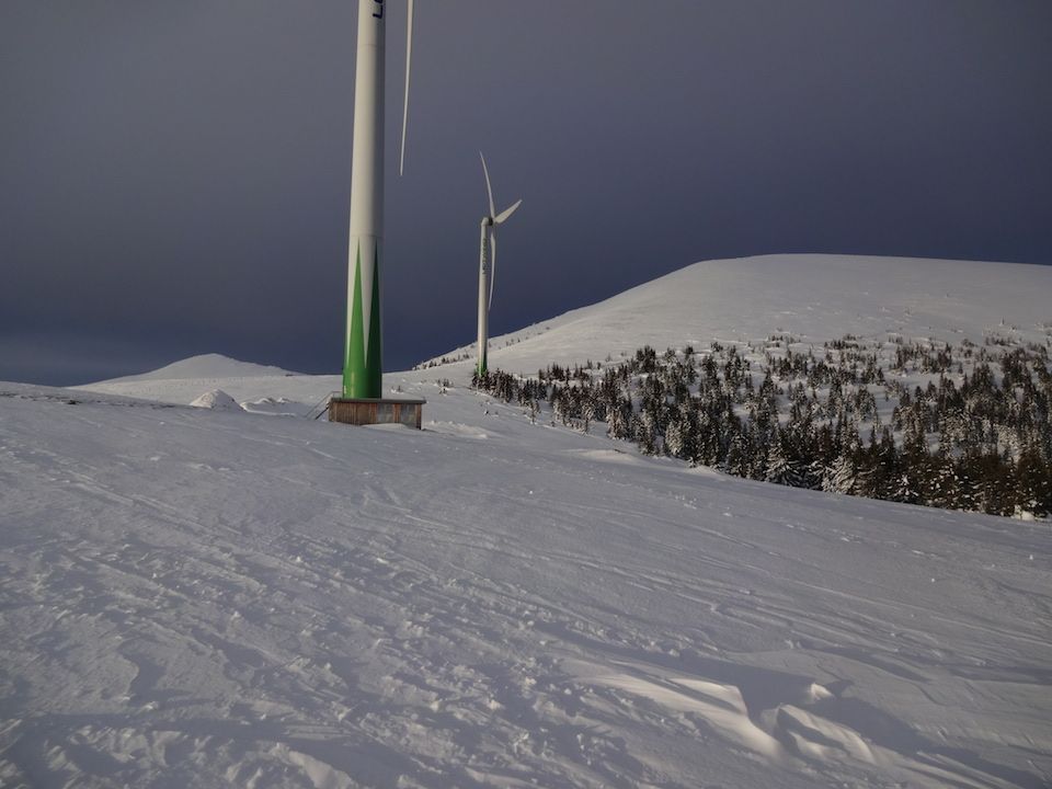
From the Salzstieglhaus we head south along the upper edge of the ski area. (approx. 35-40 minutes) Until you have reached two large wind turbines, which you can already see well from a distance.
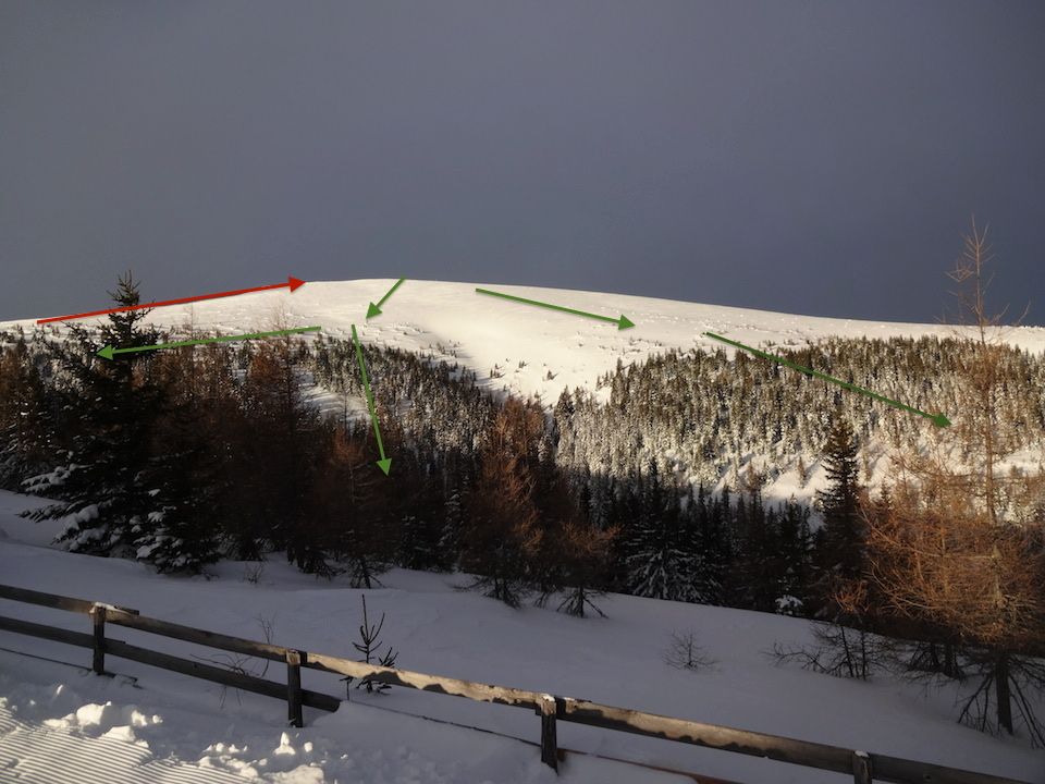
Arrived at the wind turbines, it goes west a moderately to steep ridge uphill, which leads one directly to the Speikkogel 1.993m (30-40 minutes). Along the ridge is a pasture fence which can be easily followed and thus also in bad weather ones goal is not missed.
The ascent can be quite icy and therefore it is advisable to pack up crampons for your splitboard.
Descent & Variants
There are several variants for the descent.
You can also go down and back up on the south side if you have enough time and lust.
On the north side - if you don’t want to skin up again. Just orientate on the windmills and look for a track there.
I usually depart northwest, through the forest on the right side seen from the ascent. In the forest there are two dirt roads, so you don’t get lost so fast, but you have to skin up the stretch from the forest to the Salzstieglhaus and go back. (10-15 minutes)
Photo Gallery
A selection of 5 photos from the tour:
Map and Avalanche Risk
[ASTRO_MAP_INFO_EN]
Image Gallery (5 Photos)
Show all 2 more photos
Slope Map
Tour Planning & Important Notes (OpenSlopeMap)
Tour Planning
You can plan and create your own tour directly in the map. The tour can then be downloaded as a GPX track.
Disclaimer
Every user of the map agrees to use the maps provided on OpenSlopeMap.org at their own responsibility and risk. OpenSlopeMap.org and its operators accept no responsibility for damages.
Map Explanation
- Slope inclinations are a very important criterion in avalanche risk management. However, slope inclination alone should never be the sole criterion!
- The resolution for Austria and South Tyrol is based on a digital terrain model (DTM) with 10m resolution. Outside these areas, accuracy is significantly lower.
- A map can only ever provide a limited view of real conditions.
Frequently Asked Questions
How difficult is this splitboard route?
The route is classified with difficulty level 3.
How many vertical meters does the tour include?
The ascent covers approximately 493 vertical meters.
How long does the ascent take?
The tour takes around 1.5 hours.
Where does the route start?
The starting point of the tour is Hirschegg.