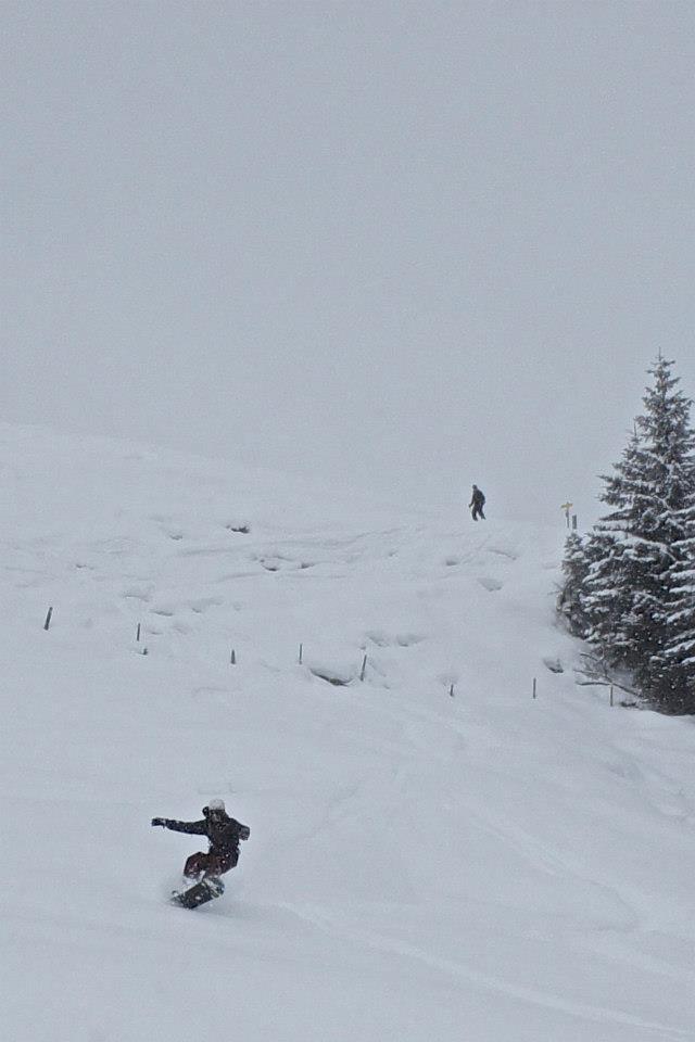
Schwarzkogel
Route Character
Beautiful not too difficult Splitboard / Ski Tour with 1000m and many downhill options.
Starting Point & Village
Starting point: Directly left of the children ski lift in Aschau Village: Kirchberg in Tirol
Ascent & Route
On the left side of the Aschau practice lift, along the “Schwarzkogel” ski route, over the ridge of the alpine pasture.
Partially one goes a short distance along the piste, which is however very little used. Soon you will see a rocky peak in front of you, but it is only the pre-summit. In the background on the left you can see the skiing area of Pengelstein. Keeping a little left up to the mountain pastures of the lower Kleinmoosalm (1624 m) (you can also see a small cross from further down).
From this alpine pasture further over the ruined Upper Kleinmoosalm. From here the rocky pre-summit is bypassed on the left in a wide right-hand bend and then you can see the flat, often blown mountain top of the Schwarzkogel in front of you, which can be reached in a few minutes via a saddle (be careful: the ridge is usually with a cornice!).
Descent & Variants
Like ascent or alternatively, it is also possible to go back to the starting point via the ski route.
Highlight: On the descent above the Kleinmoosalm keep to the left and you will find a short pillow line. Then head straight towards the cross and you have either a wide slope or a little further to the left at the edge of the forest a beautiful section through a few trees, followed by a 5m rock drop.
Maps
Kitzbüheler Alpen: Wandern / Rad / Skitouren. Mit Panorama. GPS-genau. 1:50.000
DAV Alpenvereinskarte 34/1 Kitzbüheler Alpen West 1 : 50 000
Photo Gallery
A selection of 1 photos from the tour:
Map and Avalanche Risk
[ASTRO_MAP_INFO_EN]
Image Gallery (1 Photos)
Slope Map
Tour Planning & Important Notes (OpenSlopeMap)
Tour Planning
You can plan and create your own tour directly in the map. The tour can then be downloaded as a GPX track.
Disclaimer
Every user of the map agrees to use the maps provided on OpenSlopeMap.org at their own responsibility and risk. OpenSlopeMap.org and its operators accept no responsibility for damages.
Map Explanation
- Slope inclinations are a very important criterion in avalanche risk management. However, slope inclination alone should never be the sole criterion!
- The resolution for Austria and South Tyrol is based on a digital terrain model (DTM) with 10m resolution. Outside these areas, accuracy is significantly lower.
- A map can only ever provide a limited view of real conditions.
Frequently Asked Questions
How difficult is this splitboard route?
The route is classified with difficulty level 2.
How many vertical meters does the tour include?
The ascent covers approximately 1019 vertical meters.
How long does the ascent take?
The tour takes around 2.75 hours.
Where does the route start?
The starting point of the tour is Kirchberg in Tirol.