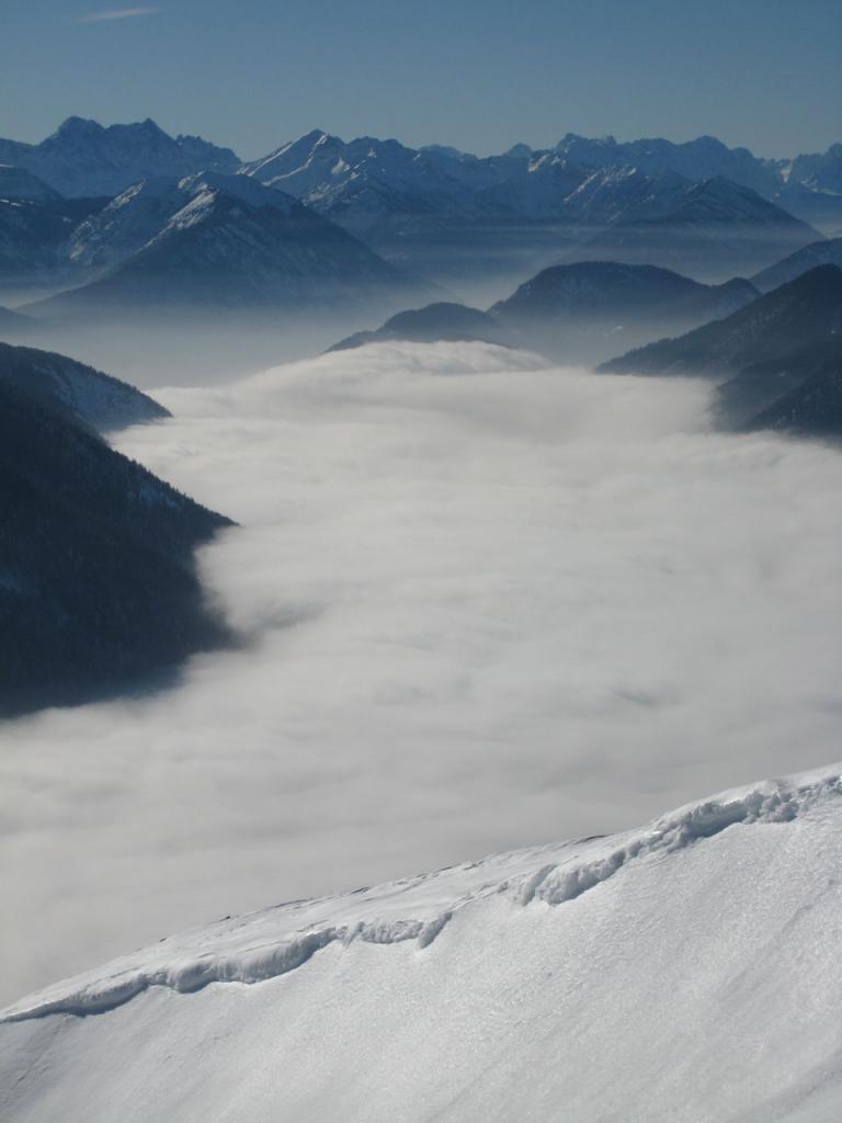
Schoenberg
Route Character
Route in the Bavarian foothills of the Alps with lots of descent possibilities for good splitboard / backcountry feeling
Starting Point & Village
Starting point: Parking lot near the forest in Fleck/Hohenreuth. Village: Lenggries
Ascent & Route
From the parking lot on the forest road we go to direction Mariaeck. After the first plane section in the forest you can take the short-cut to the right into a little path, pass the buildings and across the clearing where we meet up again on the forest road. Usually the track shortens rather steeply through the forest until you reach a clearing at about 1300m below the Mariaeck. Here, we continue straight across the clearing and then left through more open forest to a ridge at Mariaeck. Here we turn right towards the south and soon reach an escape hatch through the beautiful rock towers to the east side of Schoenberg. Right at the edge up to the highest point. The summit cross is further down to the west.
Descent & Variants
From the summit you have descents in all directions. Be aware of Risk of Avalanches because some descents are really steep. At poor snow conditions the forest tracks can be annoying, than it is better to ride near the ascent track and later on the forest road back to the parking.
You`ll have to push or walk the lowermost part of the forest road.
Maps
Kompass Isarwinkel, Bad Tölz, Lenggries: Wander-, Rad-, Langlauf- und Skitourenkarte, 1:50.000
Photo Gallery
A selection of 2 photos from the tour:
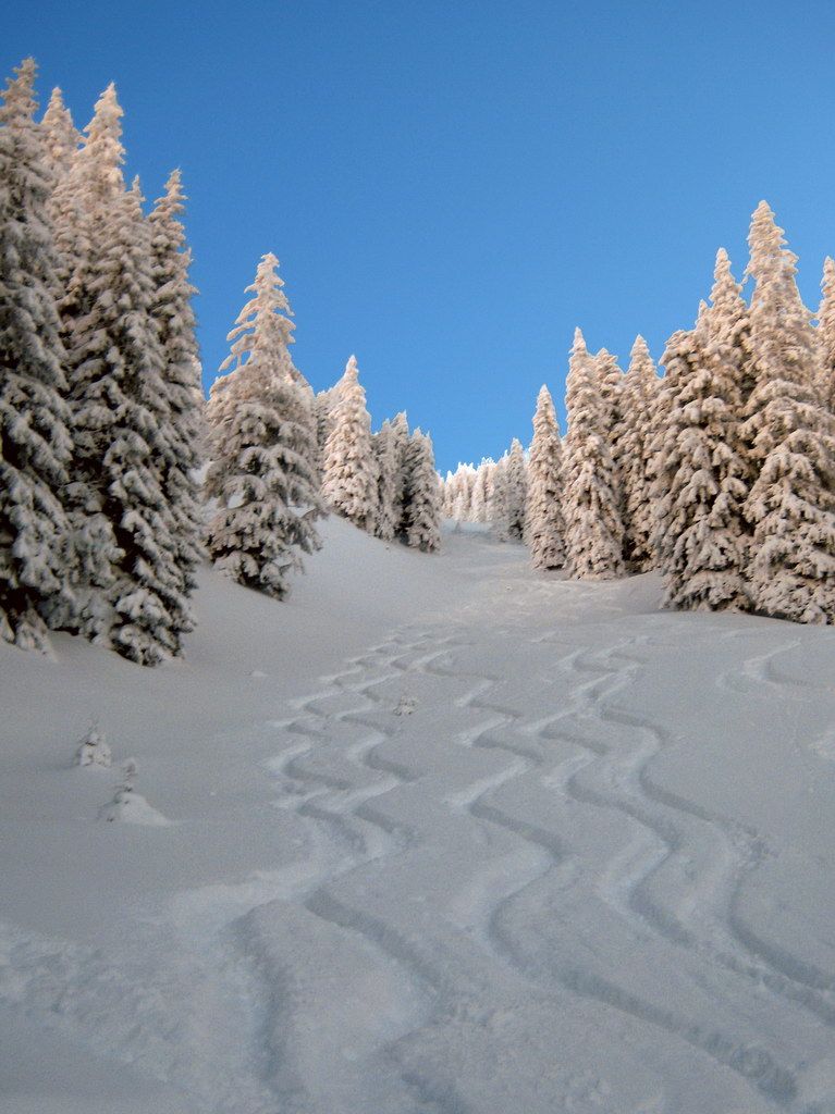
Map and Avalanche Risk
[ASTRO_MAP_INFO_EN]
Image Gallery (2 Photos)
Slope Map
Tour Planning & Important Notes (OpenSlopeMap)
Tour Planning
You can plan and create your own tour directly in the map. The tour can then be downloaded as a GPX track.
Disclaimer
Every user of the map agrees to use the maps provided on OpenSlopeMap.org at their own responsibility and risk. OpenSlopeMap.org and its operators accept no responsibility for damages.
Map Explanation
- Slope inclinations are a very important criterion in avalanche risk management. However, slope inclination alone should never be the sole criterion!
- The resolution for Austria and South Tyrol is based on a digital terrain model (DTM) with 10m resolution. Outside these areas, accuracy is significantly lower.
- A map can only ever provide a limited view of real conditions.
Frequently Asked Questions
How difficult is this splitboard route?
The route is classified with difficulty level 2.
How many vertical meters does the tour include?
The ascent covers approximately 820 vertical meters.
How long does the ascent take?
The tour takes around 2 hours.
Where does the route start?
The starting point of the tour is Lenggries.