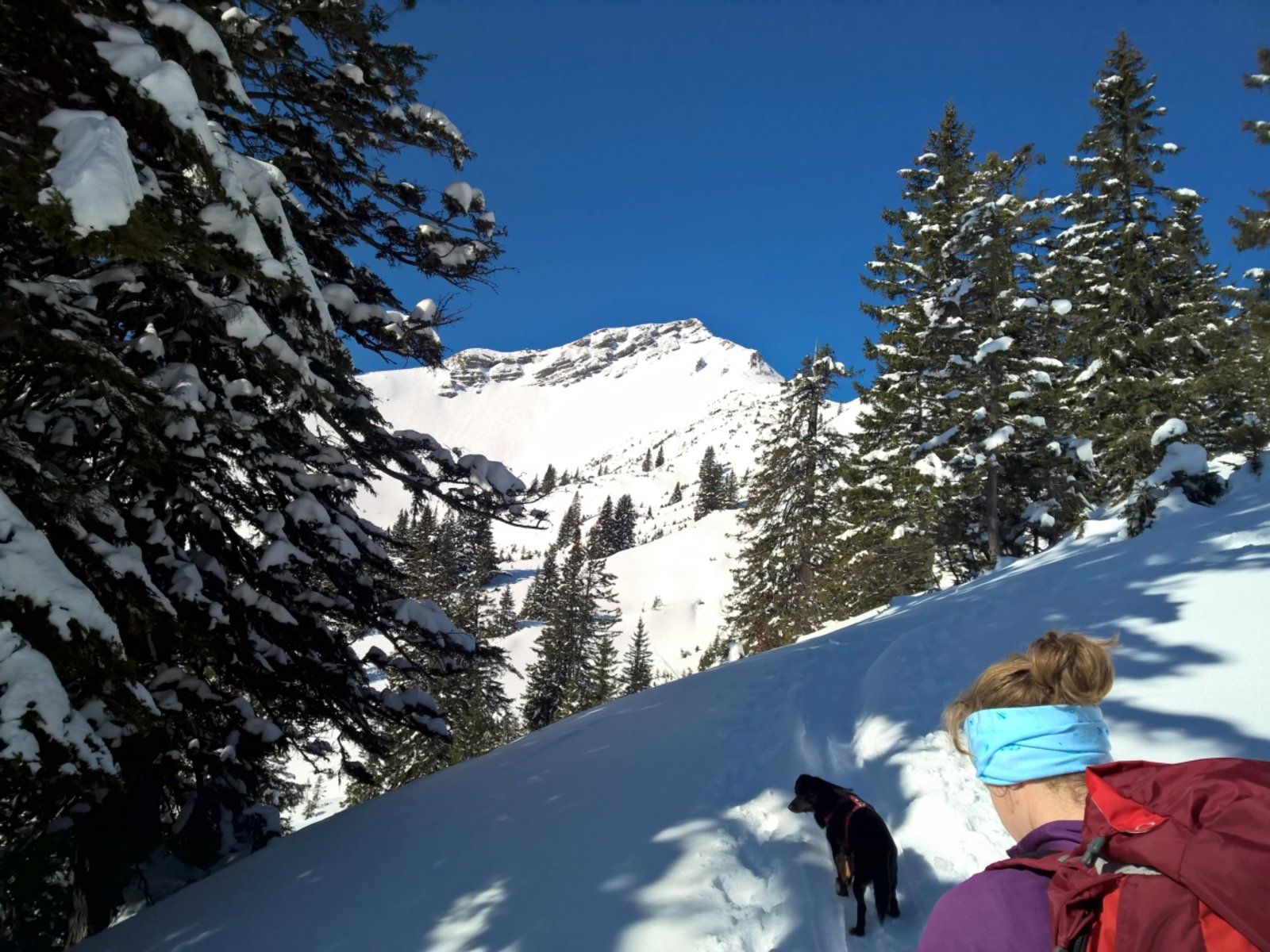
Scheinbergspitze
Route Character
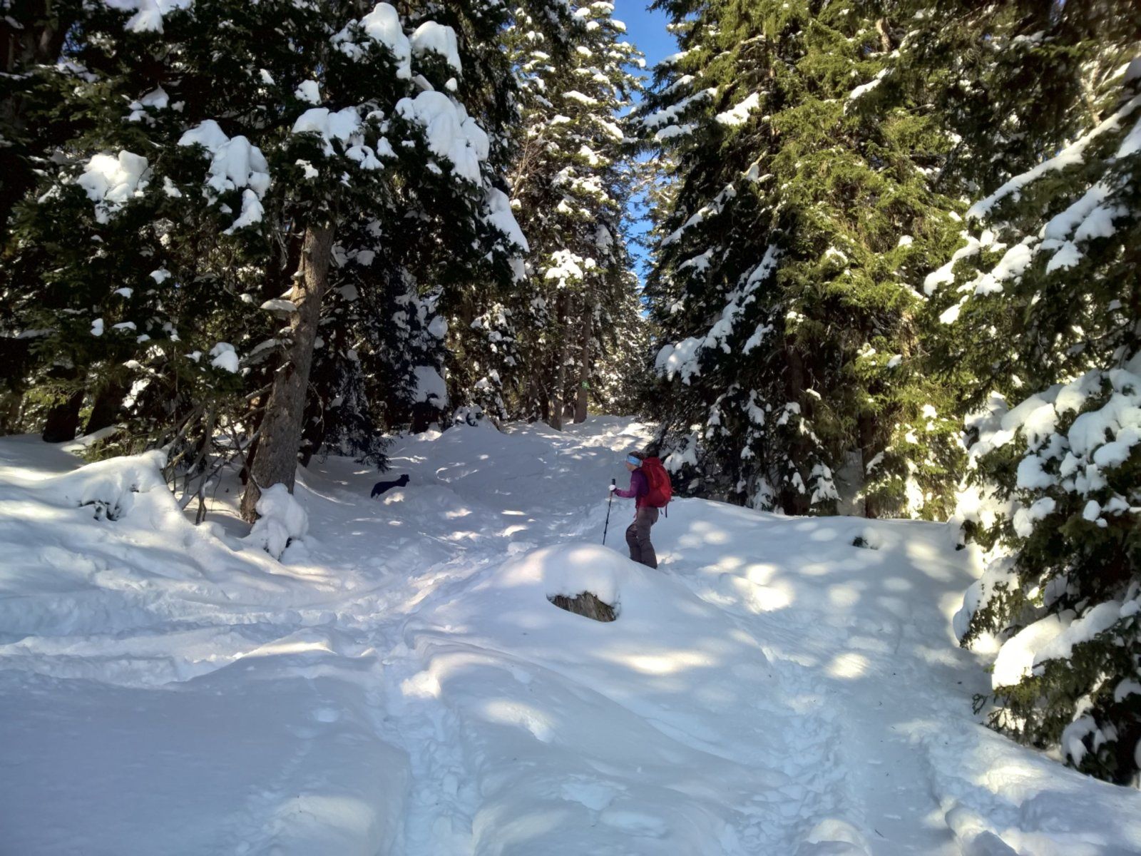
Easy tour in the foothills of the Alps. At first the trail climbs slightly uphill along a forest path, then steeper through sparse mountain forest and finally over a free ridge. Several downhill variants.
Very crowded, is done even in the worst weather! The difficulty rating refers to the route to the ski depot, the summit ascent over a ridge is often icy and tricky!
Starting Point & Village
Starting point: Parking at the entrance to the Saegertal Village: Ettal
Ascent & Route
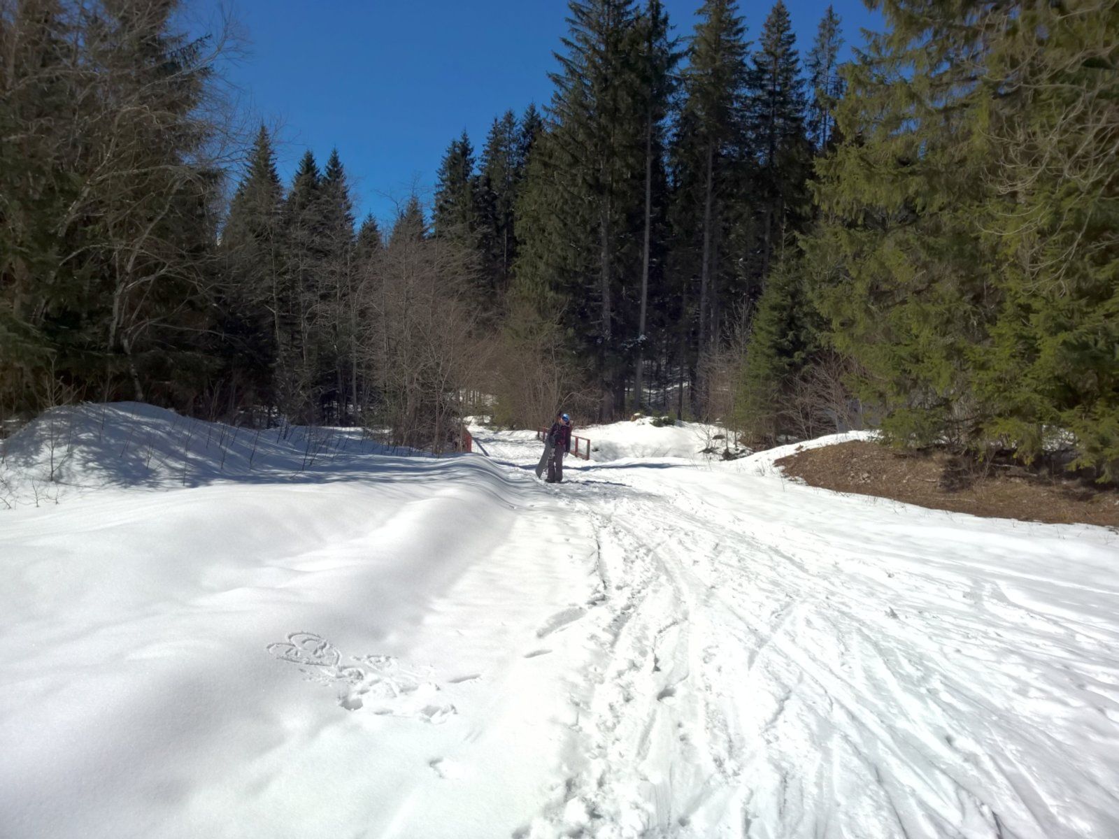
From the car park, follow the path into the Saegertal ” signpost Hochplatte” over a bridge. After a few metres you will reach a wood yard.
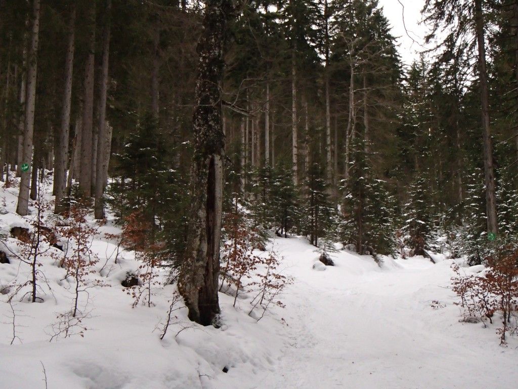
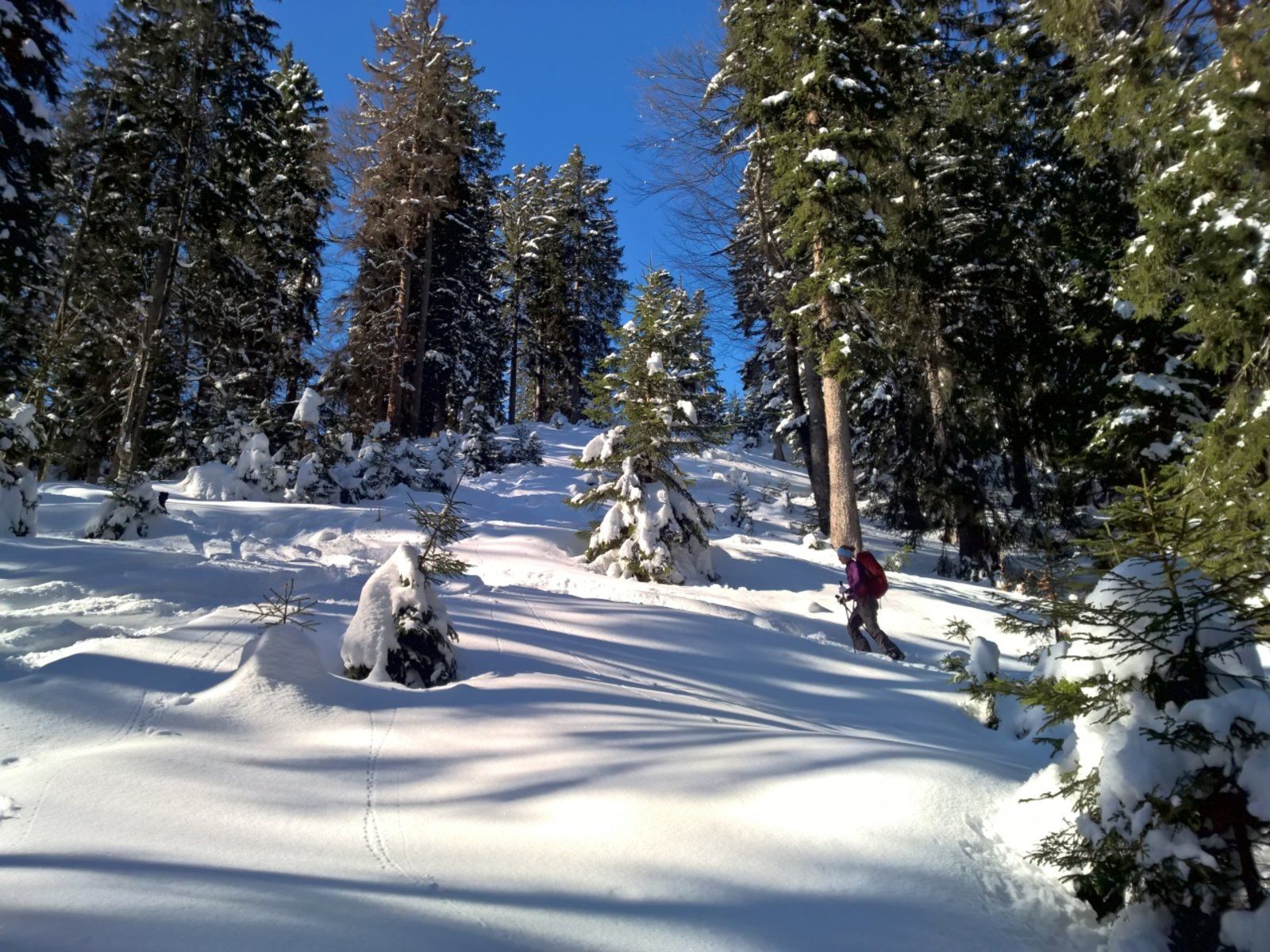
Follow the forest path on the left over a bridge towards Scheinbergspitze. After the first few bends you have the possibility to take a shortcut to the left through the forest (DAV signpost). Both routes meet again later. After crossing another bridge, you reach a wood yard. At the end of the yard, a cart track branches off to the right (DAV sign), which you follow into the forest. After a few metres you reach a forking - follow the path to the left following the signs, steeper into the forest. After reaching a ridge, follow it in the woods, which becomes lighter and lighter, until you reach the shoulder below the summit. There is a ski depot.
The summit is reached over a ridge, which can be tricky in icy conditions.
Descent & Variants
Like ascent or (more beautiful) one leaves the ridge on the left side into one of the many forest aisles and follows it to the bottom of the valley. There you reach a path that leads you back to the ascent track.
Warning: In the eastern and southern slopes avalanche accidents happen again and again. As tempting as the slopes look, they are “hot” and should be avoided at all costs, especially after fresh snow and when the day is getting warmer. 2 days before our tour, someone was rescued from the east side…after 40 - 50cm of fresh snow had fallen 2 days before!
Maps
Ammergebirge West - Topographische Karte 1:25.000 (Alpenvereinskarte)
Photo Gallery
A selection of 5 photos from the tour:
Map and Avalanche Risk
[ASTRO_MAP_INFO_EN]
Image Gallery (5 Photos)
Show all 2 more photos
Slope Map
Tour Planning & Important Notes (OpenSlopeMap)
Tour Planning
You can plan and create your own tour directly in the map. The tour can then be downloaded as a GPX track.
Disclaimer
Every user of the map agrees to use the maps provided on OpenSlopeMap.org at their own responsibility and risk. OpenSlopeMap.org and its operators accept no responsibility for damages.
Map Explanation
- Slope inclinations are a very important criterion in avalanche risk management. However, slope inclination alone should never be the sole criterion!
- The resolution for Austria and South Tyrol is based on a digital terrain model (DTM) with 10m resolution. Outside these areas, accuracy is significantly lower.
- A map can only ever provide a limited view of real conditions.
Frequently Asked Questions
How difficult is this splitboard route?
The route is classified with difficulty level 2.
How many vertical meters does the tour include?
The ascent covers approximately 940 vertical meters.
How long does the ascent take?
The tour takes around 2.5 hours.
Where does the route start?
The starting point of the tour is Ettal.