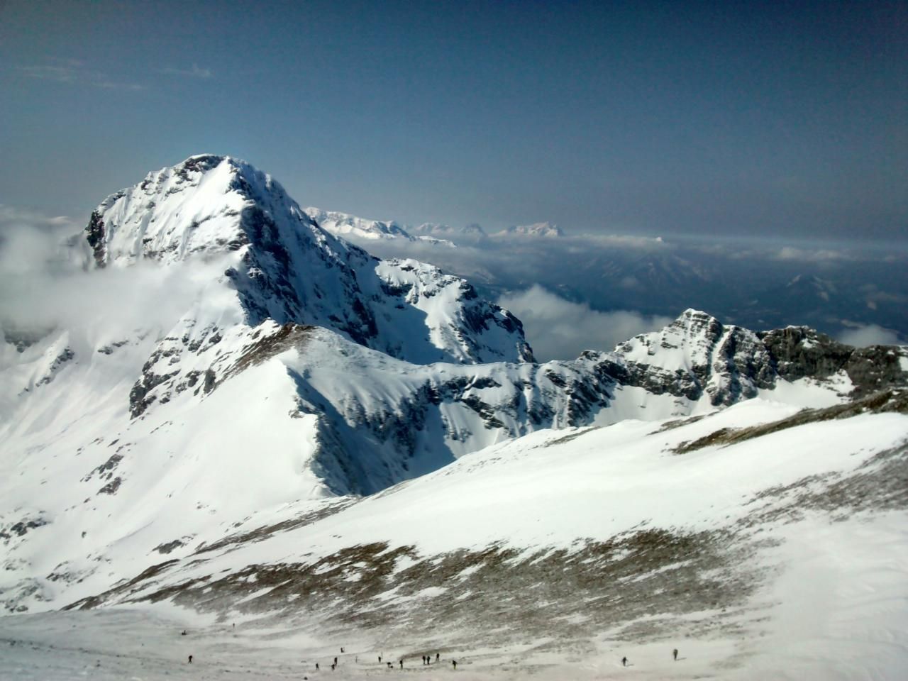
Scheiblingstein
Route Character
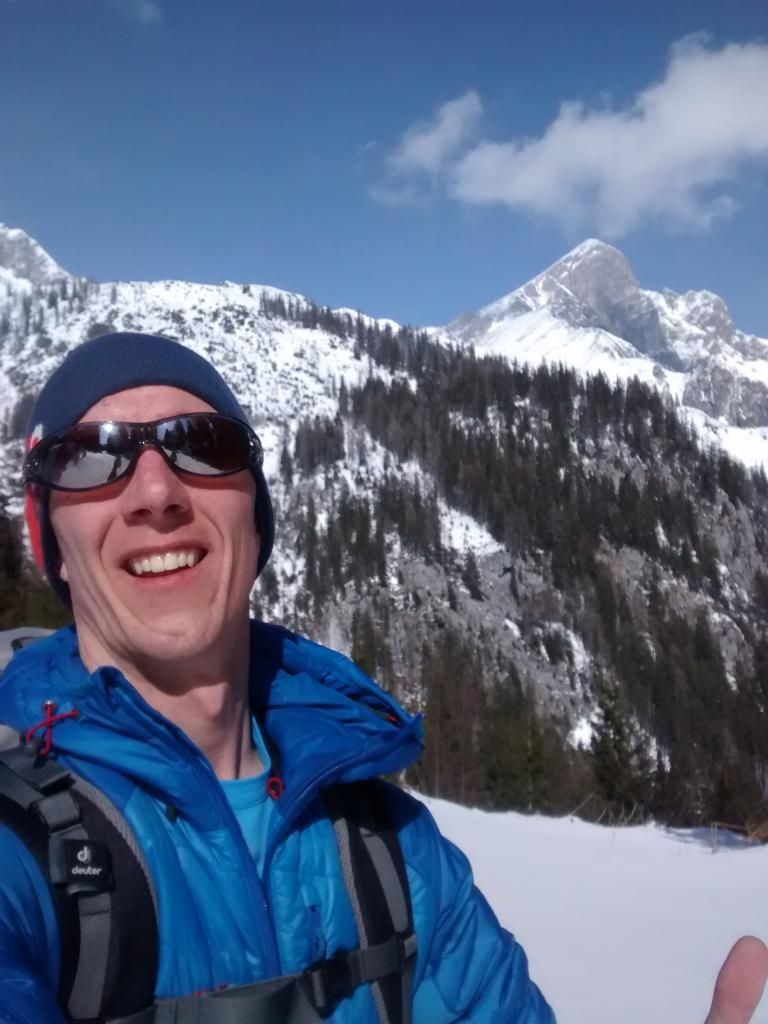
Fantastic spring tour with long ascent and a great descent. And a breathtaking view of the surrounding mountains. (Pyhrgas, Bosruck, Warscheneck, etc.)
Starting Point & Village
Starting point: Bosruckhütte Village: Spital am Pyhrn
Ascent & Route
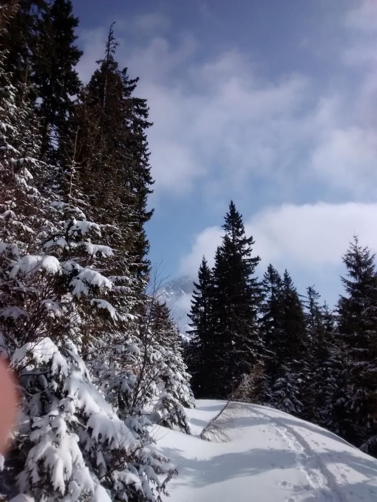
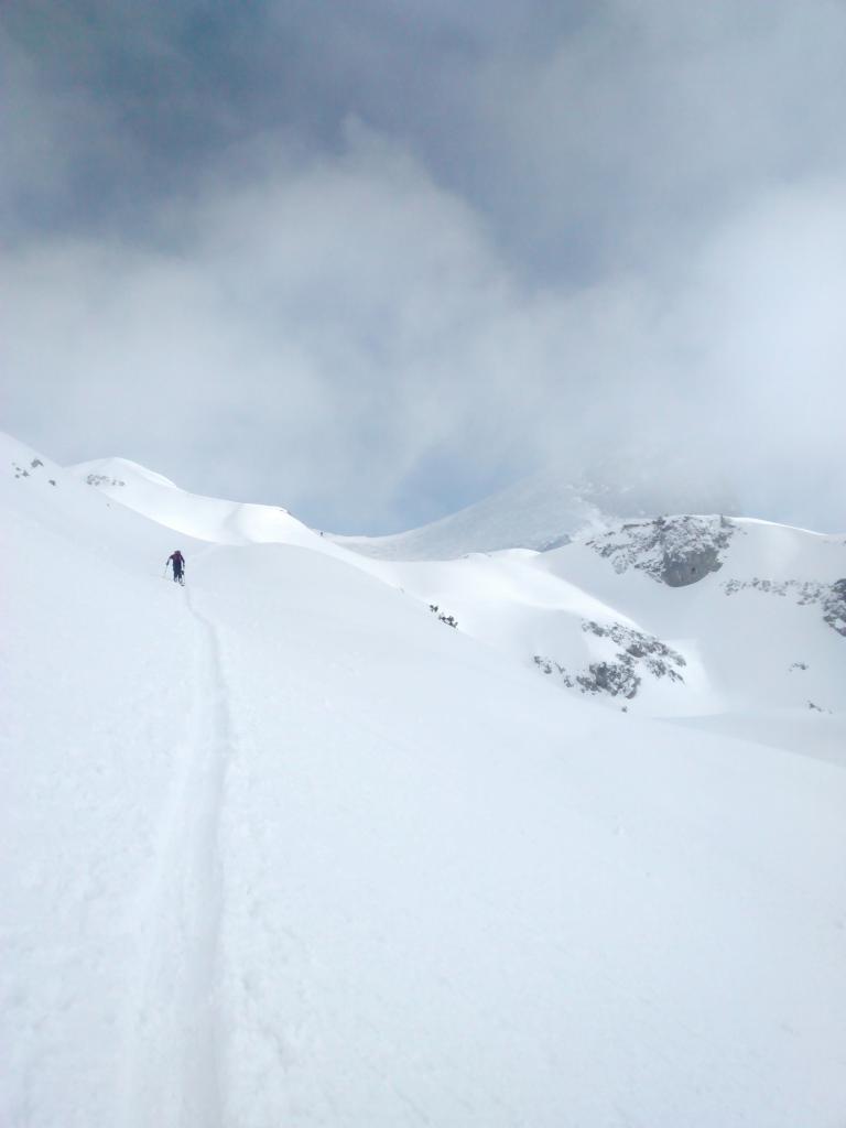
First, follow the road (usually well tracked or not even smoothed) to the first hairpin bend. Here you go straight on, because you can save 2 more hairpin bends. After 15 minutes you come back out of the ditch on the road where you have to go straight ahead again (direction “Rohrrauserhaus”).
After another 10 minutes you have arrived at a barrier from where you can see the Rohrrauerhaus - here most of the time there are tracks turning right. Follow these to Pyhrgasgatterl. (small clearing with passage between the barbed wire which is stretched here in summer).
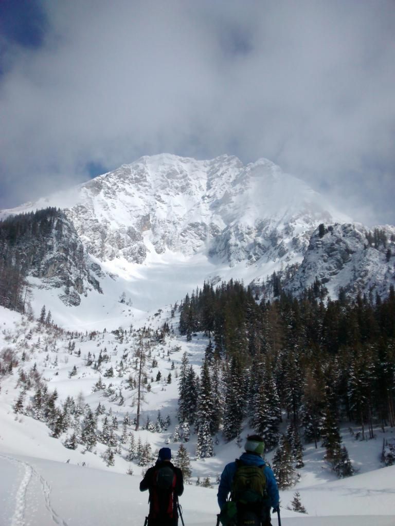
Here, most of the time, there are tracks going uphill to the right - and straight to the left, slightly downhill. Here you choose the left lane and after a few meters downhill you should reach a forest road. Follow this road until you reach the huge northern flank of Pyhrgas. (slight rumbling of powder snow falling from the mountain does not exclude - if from here it can be seen that in the north flank still a lot of snow hangs inside, turn around!!)
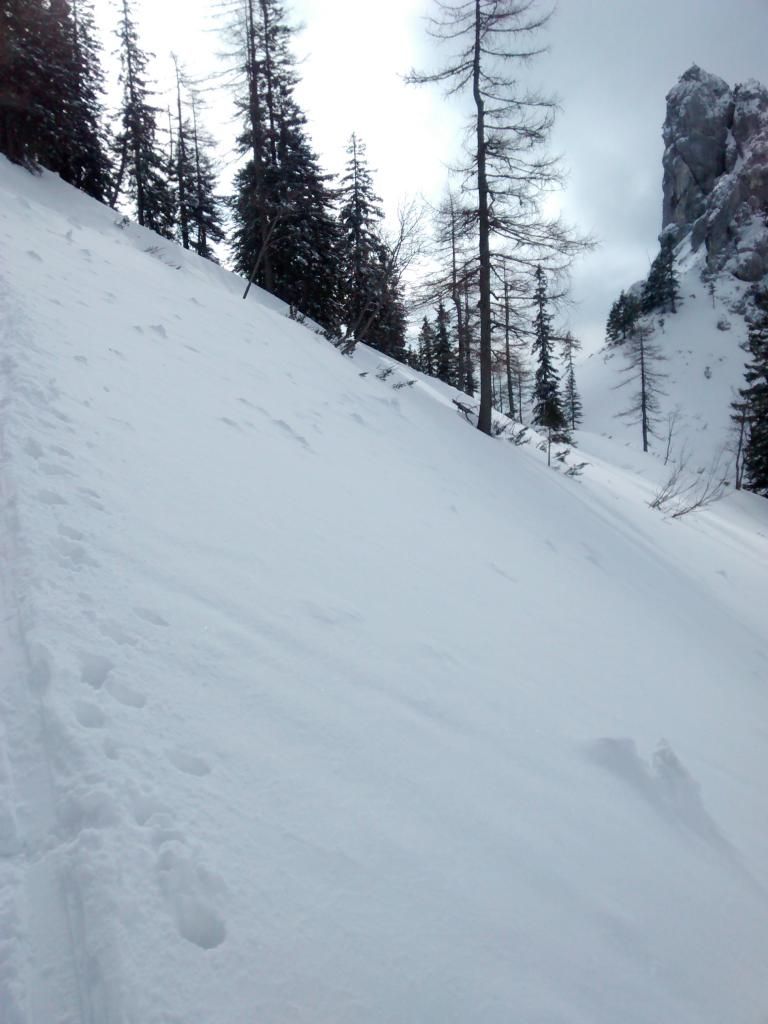
Otherwise it goes to the left through the ditch and then over a ridge to the first steep step. This is also the steepest point of the tour uphill. If the snow is hard here, you have to put on crampons first - you don’t have to take them off afterwards!
After the steep step you come to a small saddle. From here one crosses to the last climb along the left slope. At the latest here one should pay attention to possible snow masses in the left slope. So it goes always straight ahead to the summit.
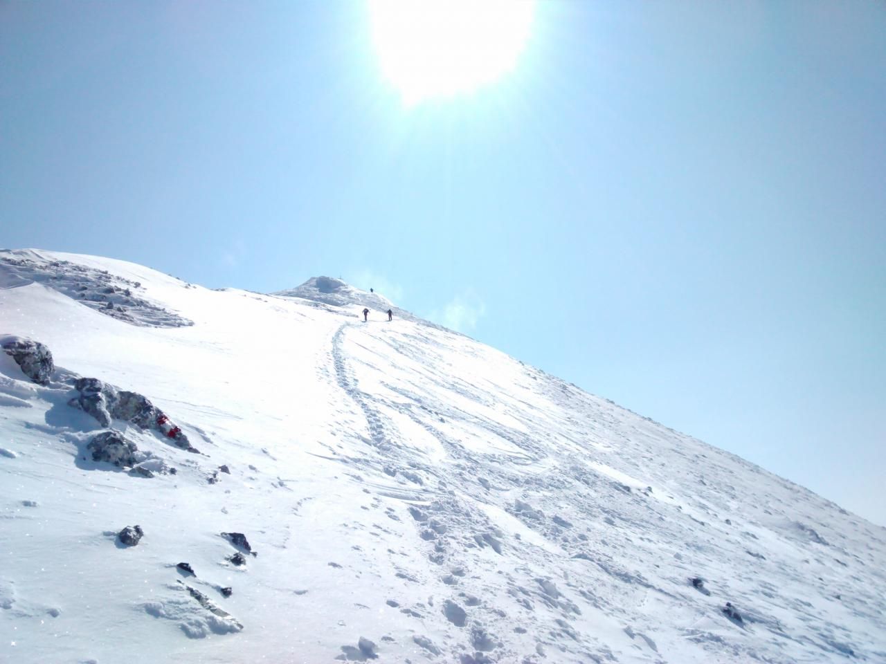
The last 100m go steeply right uphill. Most of the time the summit slope is icy and blown off. Because we see some skiers who have found enough snow to go downhill, we strap the boards onto our backs and carry them up. (Here also the crampons didn’t help any more).
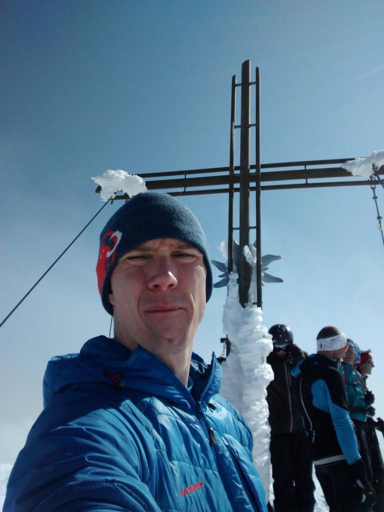
Arriving at the summit you enjoy the view and prepare for the descent through the Lange Gasse.
Descent & Variants
In the upper area, depending on the snow, you chose the line you get down best. After the summit slope, you enter the channel north of the ascent track (marked on most maps as Lange Gasse).
This is a real pleasure with powder or firn. In the lower part you have to see that you have to cross a few hills to the right in order not to get into a ditch too far to the left.
Once this is done you can ride out the Lange Gasse until you reach a forest road at the bottom. On this one skins up and climbs approx. 80m to the Pyhrgasgatterl and from there quickly gets to the Rohrrauserhaus and from here in ride mode along the ascent path back to the Borsuckhütte.
Tip: When the Rohrrauerhaus is open, there is usually a table with the menu on the Pyhrgasgatterl and you can follow the skidoo trail and get to the hut safely.
The Bosruckhütte is almost always open until the end of April!
Photo Gallery
A selection of 8 photos from the tour:
Map and Avalanche Risk
[ASTRO_MAP_INFO_EN]
Image Gallery (8 Photos)
Show all 5 more photos
Slope Map
Tour Planning & Important Notes (OpenSlopeMap)
Tour Planning
You can plan and create your own tour directly in the map. The tour can then be downloaded as a GPX track.
Disclaimer
Every user of the map agrees to use the maps provided on OpenSlopeMap.org at their own responsibility and risk. OpenSlopeMap.org and its operators accept no responsibility for damages.
Map Explanation
- Slope inclinations are a very important criterion in avalanche risk management. However, slope inclination alone should never be the sole criterion!
- The resolution for Austria and South Tyrol is based on a digital terrain model (DTM) with 10m resolution. Outside these areas, accuracy is significantly lower.
- A map can only ever provide a limited view of real conditions.
Frequently Asked Questions
How difficult is this splitboard route?
The route is classified with difficulty level 4.
How many vertical meters does the tour include?
The ascent covers approximately 1313 vertical meters.
How long does the ascent take?
The tour takes around 6 hours.
Where does the route start?
The starting point of the tour is Spital am Pyhrn.