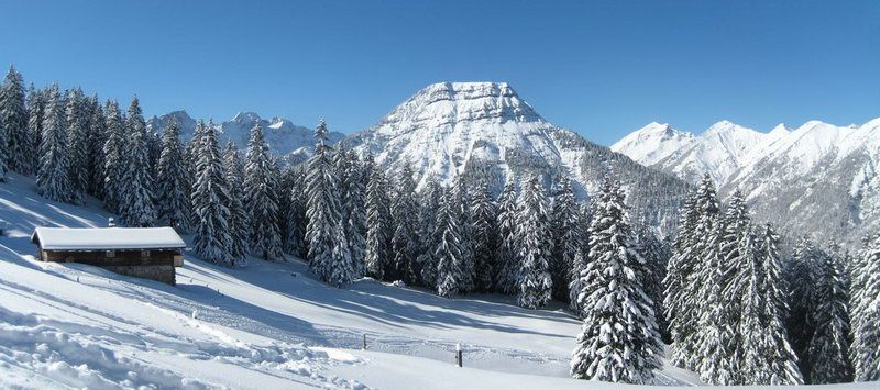
Schafreuter (Schafreiter)
Route Character
THE classic in the Karwendel foothills up THE local Munich touring mountain. There can be a hundred ski tourers up there, but not without reason. The panoramic views are stunning and the downhill offers a lot of variations in the upper part.
Starting Point & Village
Starting point: Shortly after the Oswald hut, a forest road on the left hand side leads up in southern direction. Village: Lenggries
Ascent & Route
The first third of this route follows the moderately steep forest road. Soon the first views open, so the one-hour forest road ascent won’t be that boring.
At about 1360m the road makes a left turn at a small streambed. Here you leave the road to the right according to the Alpine Club’s sign “Nature friendly ski touring” and you choose the ascent via Mooslahner alp.
Now you follow the streambed steeper up till the access road to Mooslahner alp. You can also cross the stream straight after leaving the road and hike up to the alp a bit more direct on the other side of the stream bed.
You pass the alp on the left and continue up the open pasture to the East, further on in the same direction through a short wooded belt and you then reach the lower part of a broad forest aisle which comes down from the ridge. Follow the aisle until the forest clears and then turn sharp to the South to avoid the steep slope (depending on avalanche situation it could be necessary to traverse to the south already within the forest). Overcoming a ridge you reach moderate broken terrain and hike up, now again to the East, till you reach the cornice draped Northwest ridge. Caution with poor visibility!
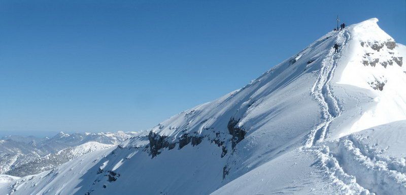
Follow the ridge in a safe distance to the North face to the small secondary summit (ski depot). The summit can be reached by foot within a few minutes over the, most times undemanding, ridge.
Descent & Variants
Like ascent route or depending on snow/avalanche conditions on the left or right (steep) of it, down the wide western slopes to Mooslahner alp. Then following the ascent route back to the forest road and as the only downside, on the forest road back to the street (early snow-free in spring).
Maps
Kompass Isarwinkel, Bad Tölz, Lenggries: Wander-, Rad-, Langlauf- und Skitourenkarte, 1:50.000
Photo Gallery
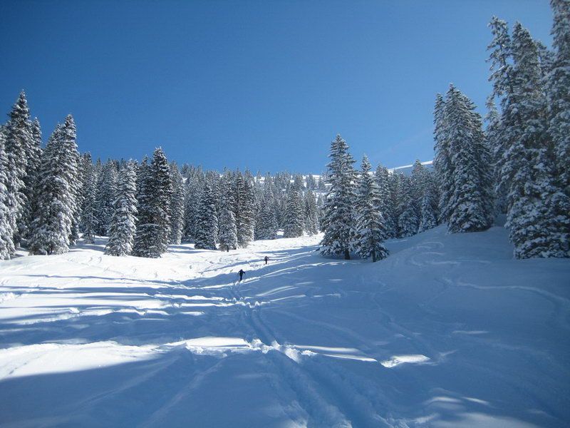
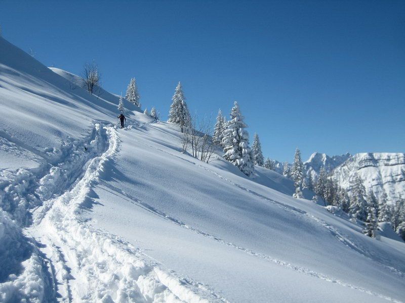
A selection of 5 photos from the tour:

Map and Avalanche Risk
[ASTRO_MAP_INFO_EN]
Image Gallery (5 Photos)
Show all 2 more photos
Slope Map
Tour Planning & Important Notes (OpenSlopeMap)
Tour Planning
You can plan and create your own tour directly in the map. The tour can then be downloaded as a GPX track.
Disclaimer
Every user of the map agrees to use the maps provided on OpenSlopeMap.org at their own responsibility and risk. OpenSlopeMap.org and its operators accept no responsibility for damages.
Map Explanation
- Slope inclinations are a very important criterion in avalanche risk management. However, slope inclination alone should never be the sole criterion!
- The resolution for Austria and South Tyrol is based on a digital terrain model (DTM) with 10m resolution. Outside these areas, accuracy is significantly lower.
- A map can only ever provide a limited view of real conditions.
Frequently Asked Questions
How difficult is this splitboard route?
The route is classified with difficulty level 2.
How many vertical meters does the tour include?
The ascent covers approximately 1250 vertical meters.
How long does the ascent take?
The tour takes around 3 hours.
Where does the route start?
The starting point of the tour is Lenggries.