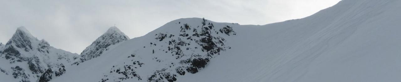
Sagtaler Spitze (Standkopf)
Route Character
650hm eastern face descent - nothing more to say. Beautiful splitboard / backcountry route.
Starting Point & Village
Starting point: Parking lot after the Gasthof Leitner, parking fee 2€/day (actual 01/2012) Village: Alpbach
Ascent & Route
First, along the slope, and later on the trail (forest road) into the valley along the stream, direction Greitalm (about 40 min). Passing right to the alm and now becoming steeper, in a curve to the right up to a slightly flatter part. From here, just a bit southwest directly to the prominent peak, later directly to the west in a few kickturns up to the ridge.
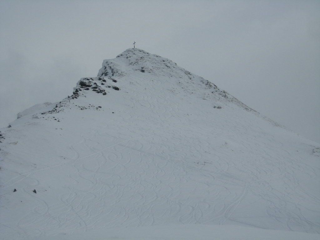
Arrived at the top hike the flat ridge in the direction of the now tangible summit with a prominent cross. Now we cross the northwest oriented summit slope in a left turn and hike up the final meters from the depot to the summit by feet.
Descent & Variants
Depending on snow conditions (the NW summit slope is often blown off) directly down the beautiful hill top and turn to the broad ridge. From here, you have an excellent descent, depending on the situation and will.You can find amazing backcountry runs over 800 vertical meters of powder.
Maps
Alpenvereinskarte 34/1 Kitzbüheler Alpen West 1 : 50 000 Topographische Karte
Kompass Karte: Vorderes Zillertal, Alpbach, Rofan, Wildschönau: 1 : 50 000
Photo Gallery
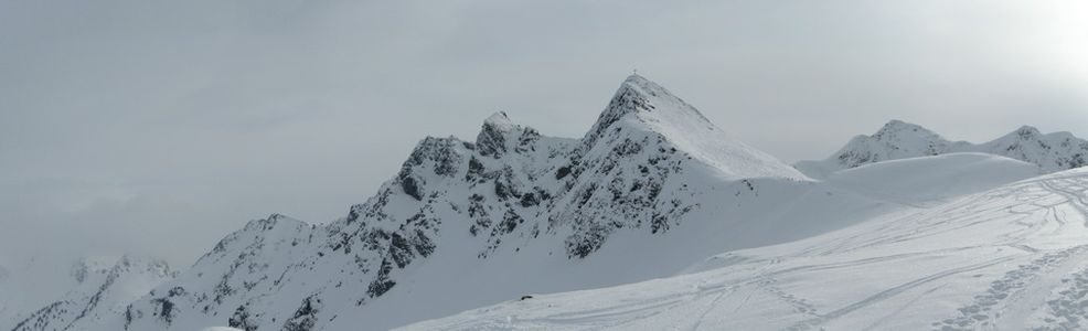
A selection of 3 photos from the tour:
Map and Avalanche Risk
[ASTRO_MAP_INFO_EN]
Image Gallery (3 Photos)
Slope Map
Tour Planning & Important Notes (OpenSlopeMap)
Tour Planning
You can plan and create your own tour directly in the map. The tour can then be downloaded as a GPX track.
Disclaimer
Every user of the map agrees to use the maps provided on OpenSlopeMap.org at their own responsibility and risk. OpenSlopeMap.org and its operators accept no responsibility for damages.
Map Explanation
- Slope inclinations are a very important criterion in avalanche risk management. However, slope inclination alone should never be the sole criterion!
- The resolution for Austria and South Tyrol is based on a digital terrain model (DTM) with 10m resolution. Outside these areas, accuracy is significantly lower.
- A map can only ever provide a limited view of real conditions.
Frequently Asked Questions
How difficult is this splitboard route?
The route is classified with difficulty level 3.
How many vertical meters does the tour include?
The ascent covers approximately 1161 vertical meters.
How long does the ascent take?
The tour takes around 3 hours.
Where does the route start?
The starting point of the tour is Alpbach.