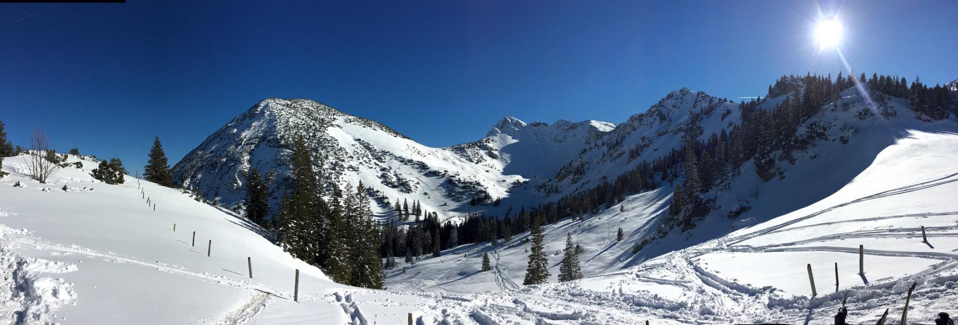
Rotwand - Loop
Route Character
Round tour with 3 summits around the Rotwand. A touring classic in the foothills of the Alps. Stamina and good skin adhesive are recommended.
Starting Point & Village
Starting point: Car park at the valley station Taubensteinbahn. Village: Spitzingsee
Ascent & Route
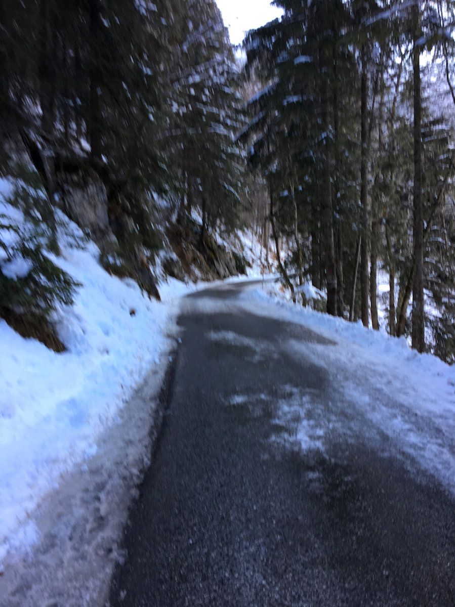
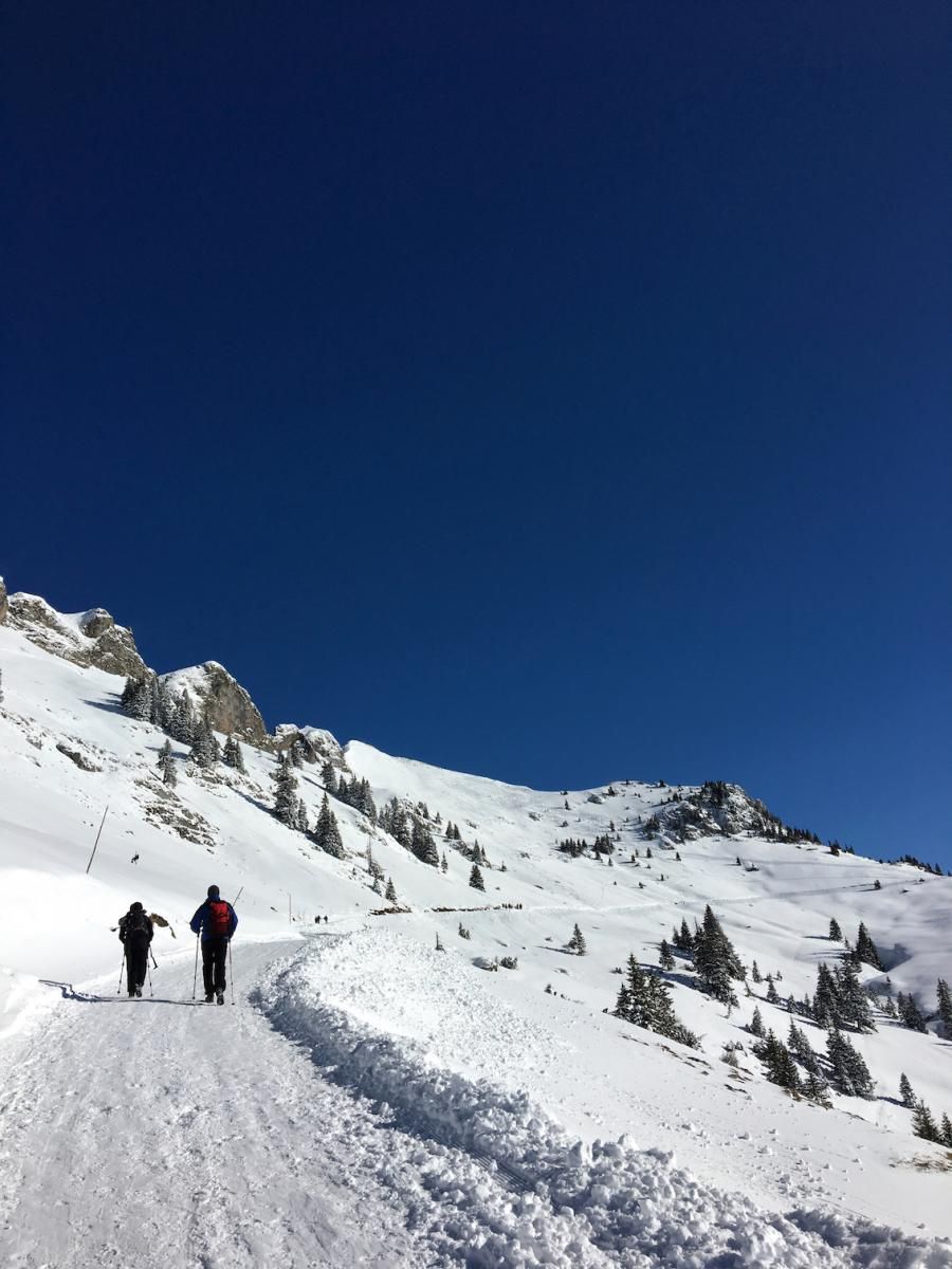
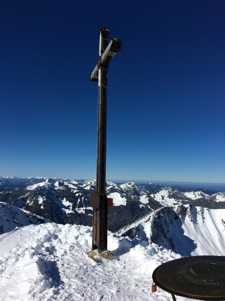
From the car parking lot you follow the hiking trail along the lake to the south (the GPX track goes through the road tunnel, but it is hardly shorter and uncomfortable in traffic). When the footpath meets the road, you go past the barrier on the road to Valepp and keep right towards Rotwandhaus. At a bridge, where you can also find hints to the local wildlife protection zones and times, you follow the forest track/toboggan run in the direction of Rotwand. With the Rotwandhaus you can also see the Rotwand summit. The ascent to the summit leads over the southern slope of the summit to the summit cross.
If you have chosen the standard run from the Rotwand, you have a short counter-rise towards Auerspitz via Kumpflscharte to the east.
Below the Nebelwand, the skins are pulled up again and the climb to the saddle of Hochmiesing begins (towards the west). At the saddle you can either shorten towards Taubenstein Haus or climb north along the ridge to Hochmiesing.
In the cauldron between Hochmiesing and Taubenstein, one skins up briefly to the north-east to the Taubensteinhaus and further west to the top station of the Taubensteinbahn.
Descent & Variants
Descent from the Rotwand: Option 1: This is the normal variant down the southern slope to Rotwandhaus.
Option 2: is the descent via nebelwand and for good riders with a jump and 45° ambitions. Follow the summit ridge to the east up to a cornice (or the pasture fence…) there it”s a short jump down and into a nice wide channel in the direction of Soinsee. This descent also saves you from the short uphill climb from Rotwandhaus to Kumpflscharte. It”s Boarders Choice.
The descent from the Auerspitz leads to the north-west into the dip below the Nebelwand.
Downhill from Hochmiesing: The ride starts down the north side of the ascended ridge in north-west direction with a view towards the Taubenstein mountain station.
From the top station of the Taubenstein mountain station, take the old ski run to the parking lot.
Maps
Bayrische Voralpen
Photo Gallery
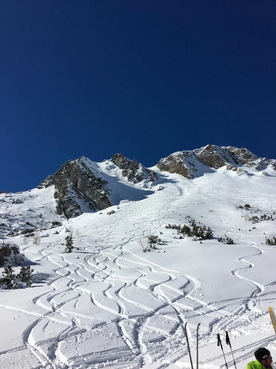
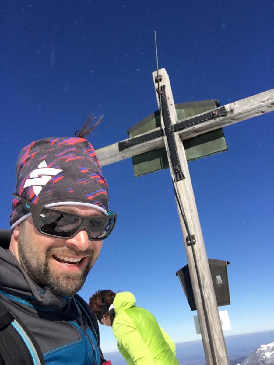
A selection of 6 photos from the tour:
Map and Avalanche Risk
[ASTRO_MAP_INFO_EN]
Image Gallery (6 Photos)
Show all 3 more photos
Slope Map
Tour Planning & Important Notes (OpenSlopeMap)
Tour Planning
You can plan and create your own tour directly in the map. The tour can then be downloaded as a GPX track.
Disclaimer
Every user of the map agrees to use the maps provided on OpenSlopeMap.org at their own responsibility and risk. OpenSlopeMap.org and its operators accept no responsibility for damages.
Map Explanation
- Slope inclinations are a very important criterion in avalanche risk management. However, slope inclination alone should never be the sole criterion!
- The resolution for Austria and South Tyrol is based on a digital terrain model (DTM) with 10m resolution. Outside these areas, accuracy is significantly lower.
- A map can only ever provide a limited view of real conditions.
Frequently Asked Questions
How difficult is this splitboard route?
The route is classified with difficulty level 4.
How many vertical meters does the tour include?
The ascent covers approximately 1300 vertical meters.
How long does the ascent take?
The tour takes around 5.5 hours.
Where does the route start?
The starting point of the tour is Spitzingsee.