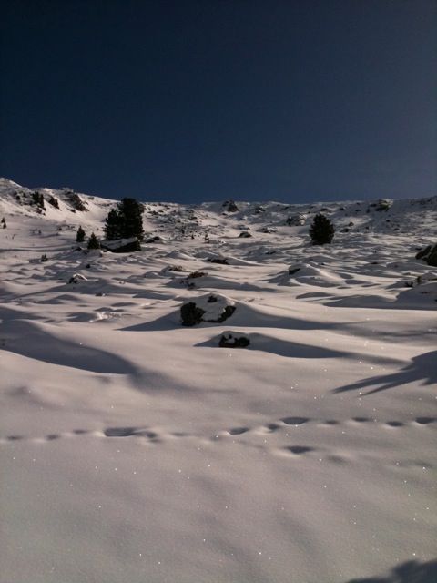
Roter Kogel (West)
Route Character
Splitboard / ski tour with scenic highlights, possibility to cross over to the Potsdamer Hütte, or vice versa. The ascent to the summit is somewhat flat and unfortunately often blown away. Towards the north-west there is a great chute.
Starting Point & Village
Starting point: A bit ahead of Lüsens, just behind the bridge, at a small house and parking lot. Sometimes there are traces of Spitboarders or ski tourers. Village: St. Sigmund im Sellrain
Ascent & Route
The Splitboards mounted, we start by climbing through the forest along the summer path, until we reach the Gallwieser Alm approx. 1750m with hunting lodge. We are quiet and respectful with the game, which is often close to the alpine pasture.
Now it goes to the left in direction north-east, further on to the Aflinger Alm 1816m. Leaving the alpine pasture area we reach with appropriate snow situation, in beautifully cropped split board / ski touring terrain. At approx. 2350m we make a long right turn towards the southeast, which we turn to the left, leaving Sömen on the left, to the summit, at the end flat, heading south. If the snow conditions or the danger of avalanches do not allow us to follow the direct route, we can also set the track to suit snow conditions in long crossings above the visible “steps”. The ascent time is extended accordingly. But we’d rather go a little longer and be safer. The route is mostly tracked.
One more hint, if it looks like little snow, then there is also little snow, the light hollows and channels are usually not filled with enough snow, watch out with new equipment. In such a case, however, there are still the Lampsen, or the Zischgeles as alternatives.
Descent & Variants
Like ascent, or crossing to the Potsdamer Hütte to the east (which offers a good base for multi-day splitboard / ski tours). It is also possible to ride with the splitboards to Bergheim/Fotsch and then return to the starting point by bus or a second car.
Maps
Alpenvereinskarte 31/2 Stubaier Alpen Sellrain 1 : 25 000 Topographische Karte
Photo Gallery
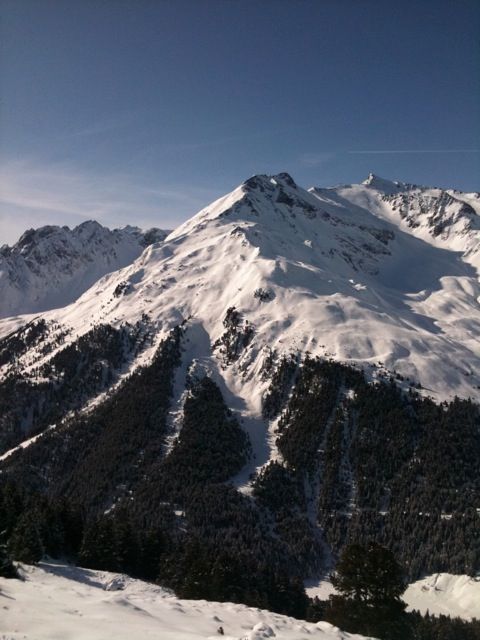
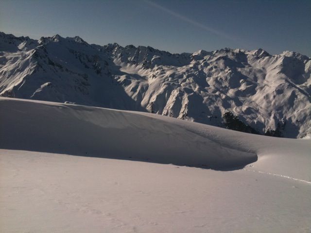
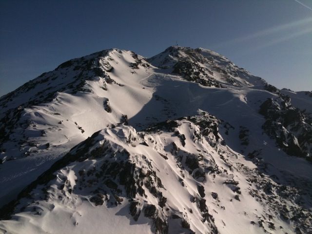
A selection of 4 photos from the tour:
Map and Avalanche Risk
[ASTRO_MAP_INFO_EN]
Image Gallery (4 Photos)
Show all 1 more photos
Slope Map
Tour Planning & Important Notes (OpenSlopeMap)
Tour Planning
You can plan and create your own tour directly in the map. The tour can then be downloaded as a GPX track.
Disclaimer
Every user of the map agrees to use the maps provided on OpenSlopeMap.org at their own responsibility and risk. OpenSlopeMap.org and its operators accept no responsibility for damages.
Map Explanation
- Slope inclinations are a very important criterion in avalanche risk management. However, slope inclination alone should never be the sole criterion!
- The resolution for Austria and South Tyrol is based on a digital terrain model (DTM) with 10m resolution. Outside these areas, accuracy is significantly lower.
- A map can only ever provide a limited view of real conditions.
Frequently Asked Questions
How difficult is this splitboard route?
The route is classified with difficulty level 3.
How many vertical meters does the tour include?
The ascent covers approximately 1250 vertical meters.
How long does the ascent take?
The tour takes around 3.5 hours.
Where does the route start?
The starting point of the tour is St. Sigmund im Sellrain.