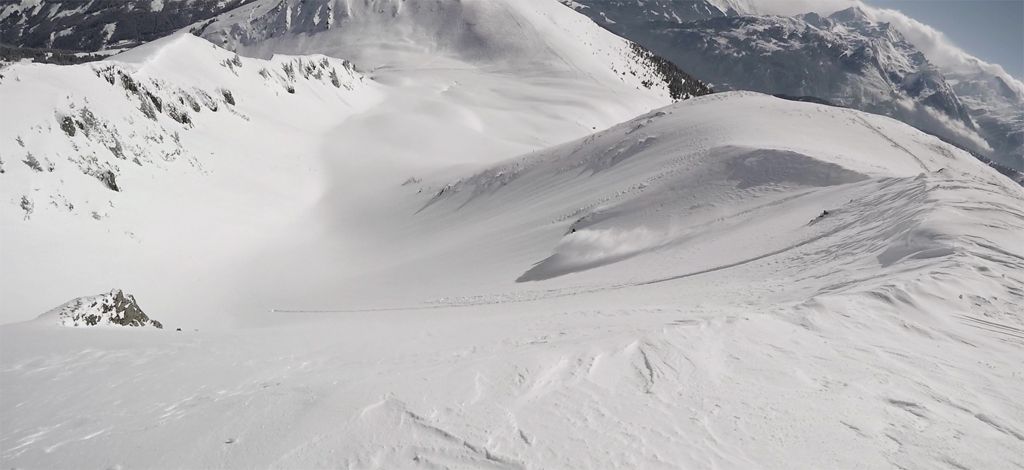
Rossgruberkogel and Schwarzkogel
Route Character
Easy splitboard tour between an elevation of 1300 and 2100 meters with lift access to get as much runs as possible within a single day. Good choice if conditions are too dangerous in higher altitudes. A tour for freeride-oriented splitboarders that allows you to ride over 2000 meters downwards with only 500 meters uphill.
Starting Point & Village
Starting point: Parking at Pass Thurn near chair Resterhoehe. Village: Jochberg
Ascent & Route
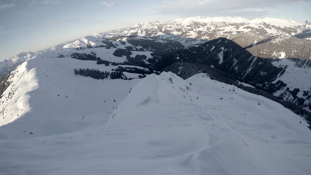
Take the chair Resterhoehe and three other chairs till you reach the top station of the Zweitausender chair. From there follow the slope in north-west direction to the small saddle. At the saddle switch to hike mode and skin up along the ridge ~120 meters to the Rossgruberkogel (2156).
Descent & Variants
Variant Rossgruberkogel From there you have a small run with a few vertical meters in eastward direction, then follow the slope till you reach the bottom station of Trattenbach chair.
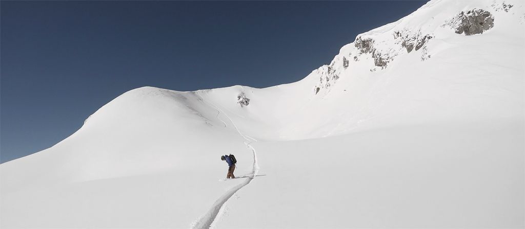
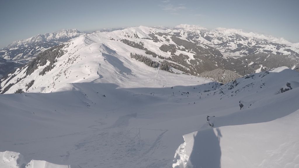
Variant A Schwarzkogel Take the chair and follow the slopes to the Big 3s gondola towards Kitzbuehl. At the top of Pengelstein switch back into hike mode and follow the cat track at the ridge into southward direction towards Schwarzkogel (2030m). At some point you leave the cat track and follow 200 vertical meters upwards the ridge. At any part of the ridge choose your line downwards the bowl in north-east direction. At the lower part of the ridge you have shorter 30° lines and in the upper part you get lines with 35 .. 40° steepness. There you may have the option to cut a cornice to check if the bowl is stable but make sure no other groups are currently in the bowl or are going to drop in. From the outrun of the bowl ride towards north direction to the bottom station of the Hochsaukaser chair.
Variant B Schwarzkogel At the top hike back to Schwarzkogel and this time take the south-east direction from the peak. Again be careful at the top because there are a lot of cornices. From the south-east bowl ride in eastward direction through the glade at the timberline. Follow this direction until the bottom of the valley where you reach a small stream. Near the stream there is one steeper section to overcome you may have to hike if there is not enough snow. At the stream follow the cat track number 34 (rides quite smooth if there is enough snow) that leads to the village Jochberg. From the village take the bus back to Pass Thurn.
Maps
Alpenvereinskarte 34/3 Kitzbüheler Alpen - Ost 1:50.000
Photo Gallery
A selection of 4 photos from the tour:
Map and Avalanche Risk
[ASTRO_MAP_INFO_EN]
Image Gallery (4 Photos)
Show all 1 more photos
Slope Map
Tour Planning & Important Notes (OpenSlopeMap)
Tour Planning
You can plan and create your own tour directly in the map. The tour can then be downloaded as a GPX track.
Disclaimer
Every user of the map agrees to use the maps provided on OpenSlopeMap.org at their own responsibility and risk. OpenSlopeMap.org and its operators accept no responsibility for damages.
Map Explanation
- Slope inclinations are a very important criterion in avalanche risk management. However, slope inclination alone should never be the sole criterion!
- The resolution for Austria and South Tyrol is based on a digital terrain model (DTM) with 10m resolution. Outside these areas, accuracy is significantly lower.
- A map can only ever provide a limited view of real conditions.
Frequently Asked Questions
How difficult is this splitboard route?
The route is classified with difficulty level 4.
How many vertical meters does the tour include?
The ascent covers approximately 500 vertical meters.
How long does the ascent take?
The tour takes around 3 hours.
Where does the route start?
The starting point of the tour is Jochberg.