Rietzer Grieskogel
Route Character
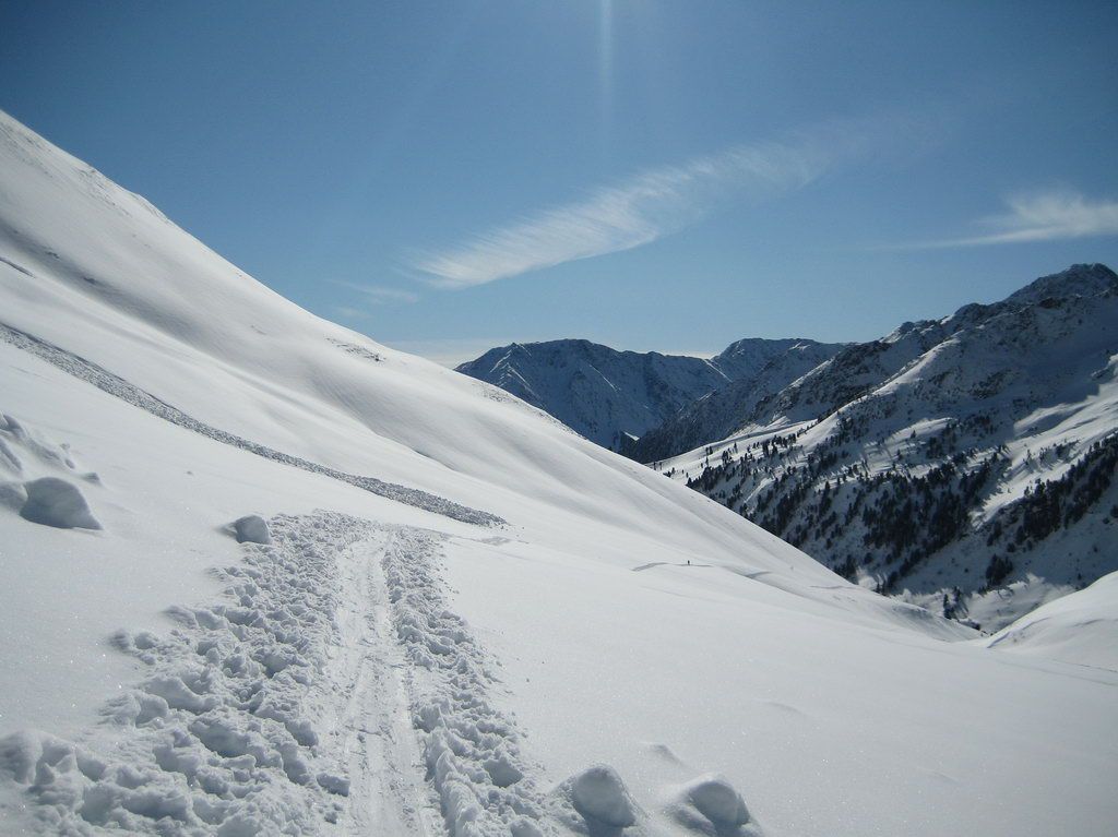
The Rietzer Grießkogl is well known, very popular, often visited and mostly split board friendly groomed. Spacious, south-facing downhill terrain.
Starting Point & Village
Starting point: Between the first and second avalanche gallery right next to the street, 1.870m. Although sometimes groomed, crossings on the left-side should be avoided because of the danger of avalanches from the steep slopes of small Mugkogl. The avalanche galleries are not there without good reason. Village: Kühtai
Ascent & Route
Directly from the road on the east side! of the small canyon. A short steep uphill into the elongated Klamm Valley. On the right side above the river gorge, mostly flat, but always beneath, depending on the conditions, avalanche endangered flanks continue up to Grünbödele at the end of the valley.
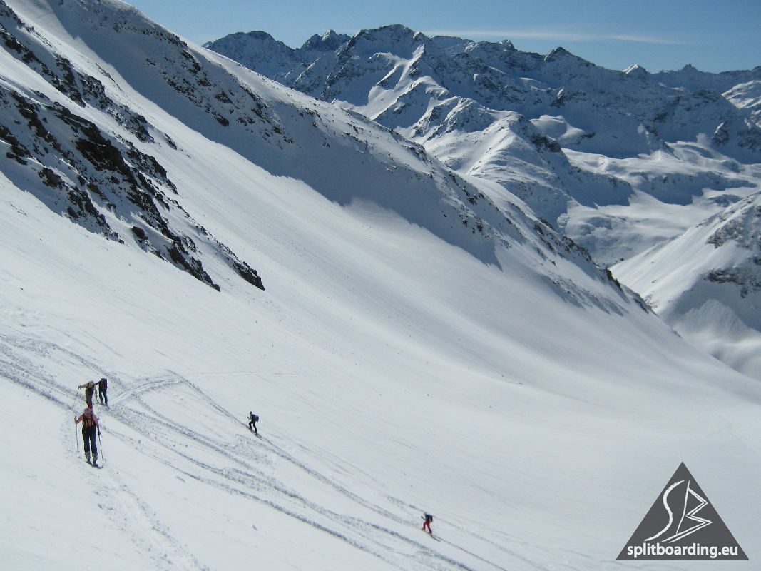
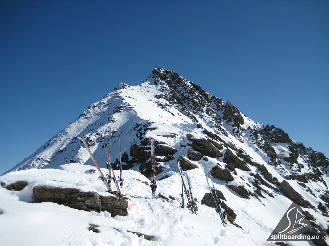
From here we turn into a wide curve to the right, over average steep terrain up to Zirmbacher Narrenböden (fools grounds ;-). Then we go quite comfortably uphill to the north-east to reach our goal. Before we summit the escarpment at the end of the soil. In a few hairpins we overcome this, keep us above the "Bachwände" left to the northwest and (pay attention to avalanche danger from the west flank of the summit!) arrive over a saddle on the steep southern slope below the notch in the ridge between "Bachwandkopf" and "Grießkugl". A couple of sharp turns and we made it, after 880 vertical meters, to our split-board storage place.
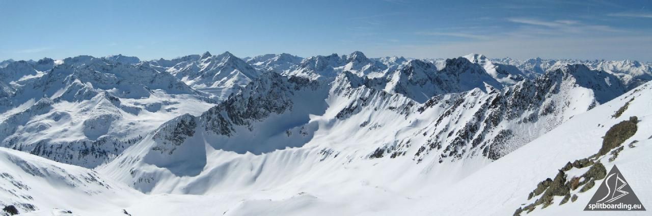
If you are free from giddiness, you can follow along the ridge and climb over rocky terrain in the end to the top of the magnificent panorama summit of Rietzer Grieskogel (20 min).
Descent & Variants
From the summit slope along the track over the scarp down to the "Narrenböden".
When snow conditions are safe, the arc of ascent path can be shortend here and you go straight ahead steeply from "Narrenböden" into the Klamm Valley.
There, again along the ascent track with momentum out of the valley and on the left side of the gorge down to the street.
Maps
Alpenvereinskarte 31/2 Stubaier Alpen Sellrain 1 : 25 000 Topographische Karte
Kompass Karte: Imst, Telfs, Kühtai, Mieminger Kette: Wander-, Rad- und Skitourenkarte. 1:50.000
Photo Gallery
A selection of 4 photos from the tour:
Map and Avalanche Risk
[ASTRO_MAP_INFO_EN]
Image Gallery (4 Photos)
Show all 1 more photos
Slope Map
Tour Planning & Important Notes (OpenSlopeMap)
Tour Planning
You can plan and create your own tour directly in the map. The tour can then be downloaded as a GPX track.
Disclaimer
Every user of the map agrees to use the maps provided on OpenSlopeMap.org at their own responsibility and risk. OpenSlopeMap.org and its operators accept no responsibility for damages.
Map Explanation
- Slope inclinations are a very important criterion in avalanche risk management. However, slope inclination alone should never be the sole criterion!
- The resolution for Austria and South Tyrol is based on a digital terrain model (DTM) with 10m resolution. Outside these areas, accuracy is significantly lower.
- A map can only ever provide a limited view of real conditions.
Frequently Asked Questions
How difficult is this splitboard route?
The route is classified with difficulty level 3.
How many vertical meters does the tour include?
The ascent covers approximately 1014 vertical meters.
How long does the ascent take?
The tour takes around 2.75 hours.
Where does the route start?
The starting point of the tour is Kühtai.