Rauthhuette
Route Character
Simple, avlanche safe ski slope tour with excellent rest stop and spectacular views. Even at night without any problems.
Starting Point & Village
Starting point:
Parking at the former Munde lift (not free, a portion is paid in contemplation).
Village: LeutaschAscent & Route
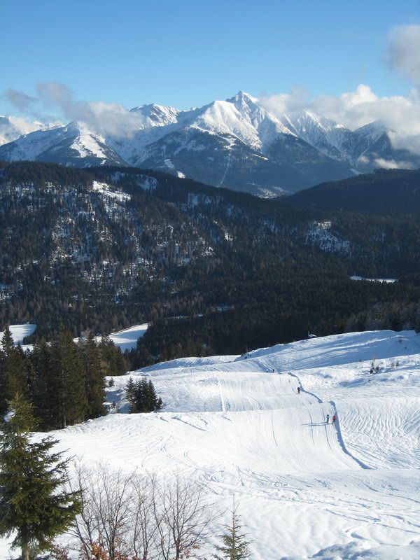
From the car park on the former ski slope, soon becoming steeper uphill until at about 1380m. Here following the slope to the right and now you have beautiful hilly terrain. Either continue on mostly groomed slopes or even better on the left edge of the wood directly towards the stunning Hohe Munde. You'll quickly get your goal in sight, the Rauthhütte.
Descent & Variants
Like ascent, on the mostly prepared strip of the former ski slope. Right and left there is enough space unprepared to try the first turns in deep snow (or other types of snow).
An ideal tour, to get friends closer to touring or with your family (toboggan). Or simply as a short fitness training.
Refreshments & Huts
Great food, friendly hosts and a fantastic panoramic view. The Rauthhütte is definitely one of the best adresses for hearty refreshments throughout the Leutasch.
more Info: www.rauthhuette.at or at Facebook
Maps
Kompass Karte: Seefeld in Tirol, Leutasch: Wandern / Rad / Langlauf. 1:25.000
Kompass Karte: Wettersteingebirge - Zugspitzgebiet WK5. Wandern / Rad / Skitouren. 1: 50 000
Photo Gallery
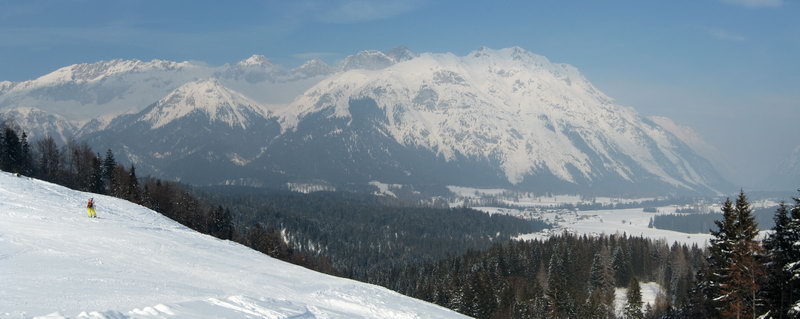
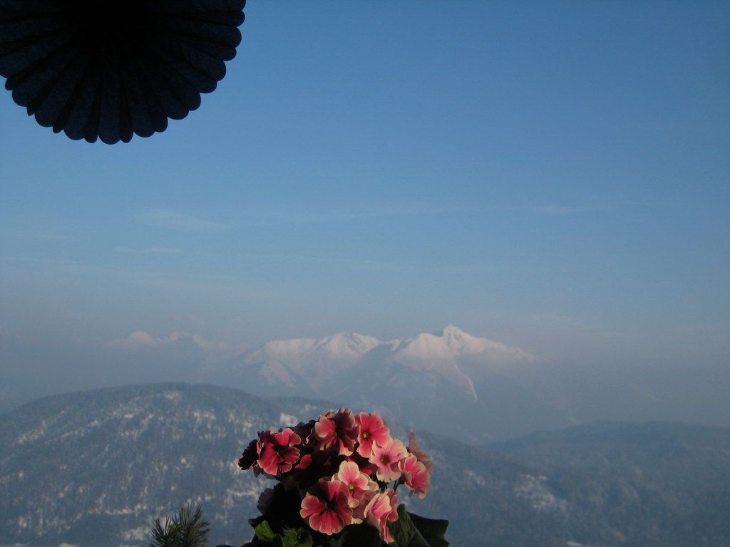
A selection of 3 photos from the tour:
Map and Avalanche Risk
[ASTRO_MAP_INFO_EN]
Image Gallery (3 Photos)
Slope Map
Tour Planning & Important Notes (OpenSlopeMap)
Tour Planning
You can plan and create your own tour directly in the map. The tour can then be downloaded as a GPX track.
Disclaimer
Every user of the map agrees to use the maps provided on OpenSlopeMap.org at their own responsibility and risk. OpenSlopeMap.org and its operators accept no responsibility for damages.
Map Explanation
- Slope inclinations are a very important criterion in avalanche risk management. However, slope inclination alone should never be the sole criterion!
- The resolution for Austria and South Tyrol is based on a digital terrain model (DTM) with 10m resolution. Outside these areas, accuracy is significantly lower.
- A map can only ever provide a limited view of real conditions.
Frequently Asked Questions
How difficult is this splitboard route?
The route is classified with difficulty level 2.
How many vertical meters does the tour include?
The ascent covers approximately 440 vertical meters.
How long does the ascent take?
The tour takes around 1.25 hours.
Where does the route start?
The starting point of the tour is Leutasch.