Rastkogel to Hochfuegen
Route Character
Wonderful valley crossing with the Splitboard or touring ski - many downhill runs for experienced explorers. Since one moves in little frequented high alpine terrain and the one or other somewhat steeper downhill part is with it, I have described the tour with quite difficult. Finally, there is a somewhat annoying section out of the valley. Nevertheless, the tour is worthwhile if you are not deterred by repeated skins on and off.
Starting Point & Village
Starting point: At the bottom of the Rastkogelbahnen ski area or top station of the Hoarbergjoch lift. Village: Tux
Ascent & Route
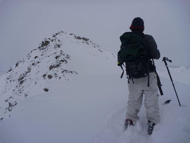
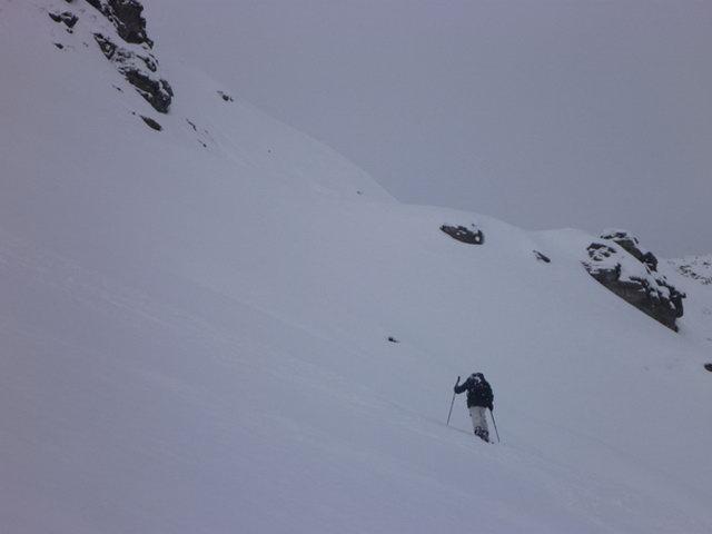
Ascent 1: If you don’t want to take the lifts, you can walk up the piste to the top station of the Hoarbergjoch lift. This is where the actual journey begins. From the top station we walk with our splitboards and skis briefly on the slope to the north, soon the Hoarbergjoch is recognizable (in some maps also called Grindscharte). We walk slightly towards the NW into the steepening gap. Once we have reached this point, we continue on the ridge towards Rastkogel, it is already clearly visible. The uppermost 40-50 meters of altitude difference is a very steep slope, which should only be walked on in safe conditions. We saved ourselves from the summit because of the avalanche situation, crossed the flank and went further to the northwest.
2. ascent: After having reached the Rastkogel Lakes after a pleasantly lonely descent in not too steep terrain (two short steep steps), past the steep eastern flanks of Dreispitzkopf (2604m), Breitenkopf and Rosskopf (2576m), we once again head for the Joch (2231m) between Rosskopf and Sidanjoch (2127m) in the direction of Northwest and then North. Shortly before reaching the pass, a small detour to Rosskopf can be made.
If the weather is fine, orientation is relatively easy and there are many downhill options.
If you are in Hochfügen at the valley station of the gondola, take it uphill and then return via the ski slope back to Kaltenbach, where it is best to leave a car in advance.
Descent & Variants
From Rastkogel you can ride a steep flank directly from the summit in direction east-north-east, after approx. 50-100 HM you take a turn to the left in direction north-west to the Sidanalm, in order to reach the actual descent.
Afterwards it goes on over relatively gentle slopes, past the steep east-flanks of Dreispitzkopf (2604m) Breitenkopf and Rosskopf (2576m) to the Roßkogelseeen (unlisted in the map).
Here we are once again mount our skins and as described above, we continue to work on the second ascent. After we have climbed the pass, we continue our way north-east to the Pfundsalm Mittelleger.
You can either keep to the left (riders view), with caution because of the steep eastern flank of the Kleiner Gilfert and the Pfaffenbichl, or stay as far up on the right side of the river as possible to cross the stream at a suitable place. Signs from the Sommerweg can be seen in good visibility. In winter, the path from the Pfundsalm is a toboggan run, which you then descent to the Hochfügen bottom station.
Here you take the gondola on the right-hand side uphill and then to ride down to Kaltenbach via the pistes from Hochfügen (we were too late, so we missed the last gondola/lift and took the ski bus at 4.35 p. m. to the terminal station Bahnhof, then into the slow train and back to Kaltenbach, back to the car).
Photo Gallery
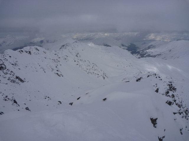
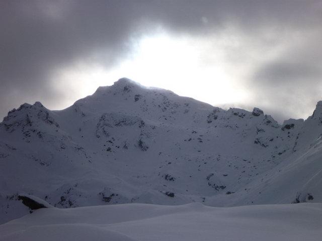
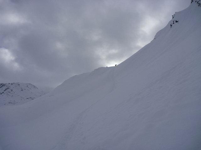
A selection of 5 photos from the tour:
Map and Avalanche Risk
[ASTRO_MAP_INFO_EN]
Image Gallery (5 Photos)
Show all 2 more photos
Slope Map
Tour Planning & Important Notes (OpenSlopeMap)
Tour Planning
You can plan and create your own tour directly in the map. The tour can then be downloaded as a GPX track.
Disclaimer
Every user of the map agrees to use the maps provided on OpenSlopeMap.org at their own responsibility and risk. OpenSlopeMap.org and its operators accept no responsibility for damages.
Map Explanation
- Slope inclinations are a very important criterion in avalanche risk management. However, slope inclination alone should never be the sole criterion!
- The resolution for Austria and South Tyrol is based on a digital terrain model (DTM) with 10m resolution. Outside these areas, accuracy is significantly lower.
- A map can only ever provide a limited view of real conditions.
Frequently Asked Questions
How difficult is this splitboard route?
The route is classified with difficulty level 4.
How many vertical meters does the tour include?
The ascent covers approximately 700 vertical meters.
How long does the ascent take?
The tour takes around 4 hours.
Where does the route start?
The starting point of the tour is Tux.