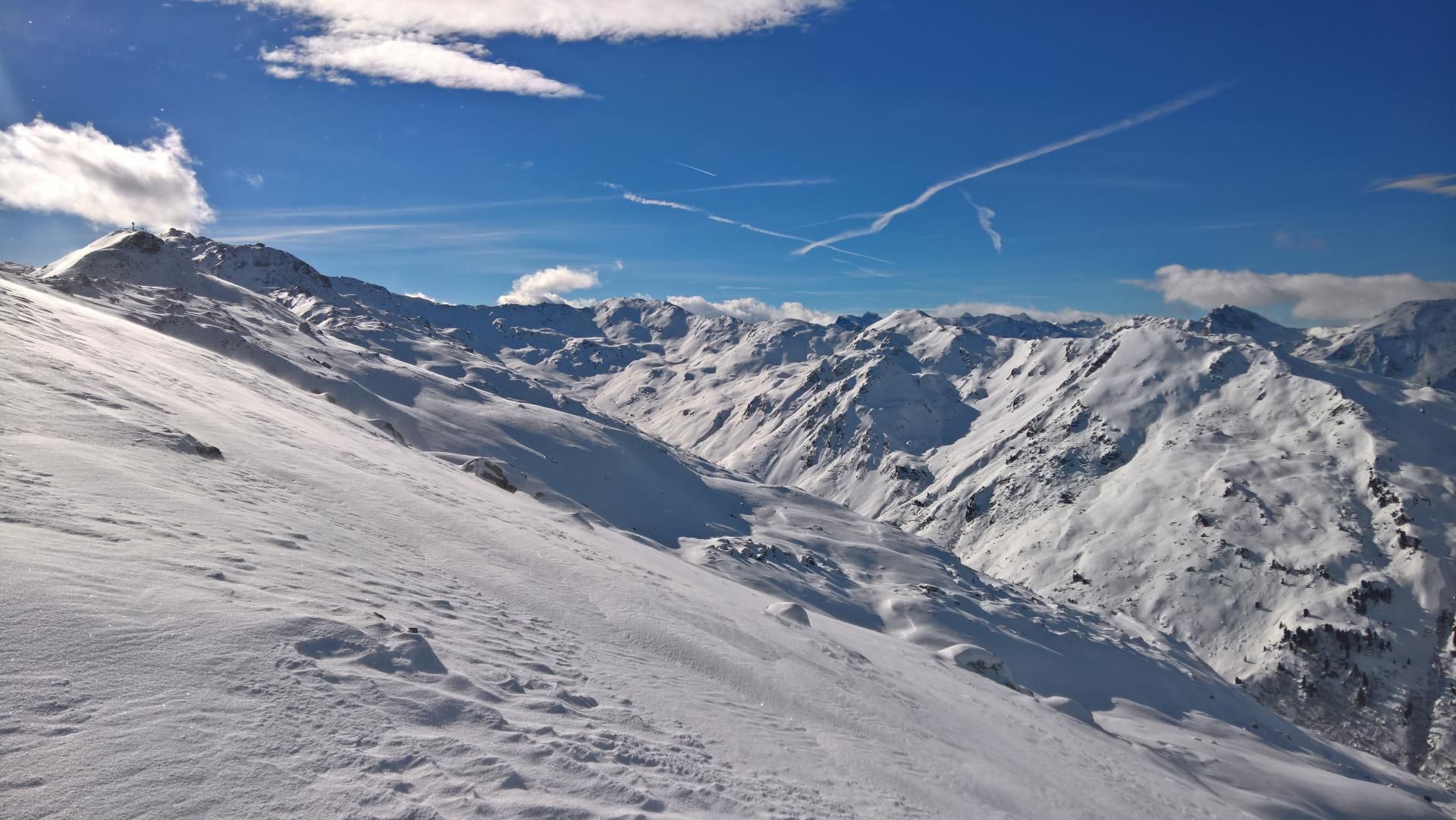
Rastkogel from Hochfuegen
Route Character
Exciting ridge tour with connection of two ski areas (Hochfügen and Mayerhofen). Depending on your mood and fitness level, you can also climb other peaks.
Starting Point & Village
Starting point: With the lifts (Hochzillertal and Hochfügen) to the highest point of the Hochfügen ski area (Hochfügen 2000). Village: Hochfügen
Ascent & Route
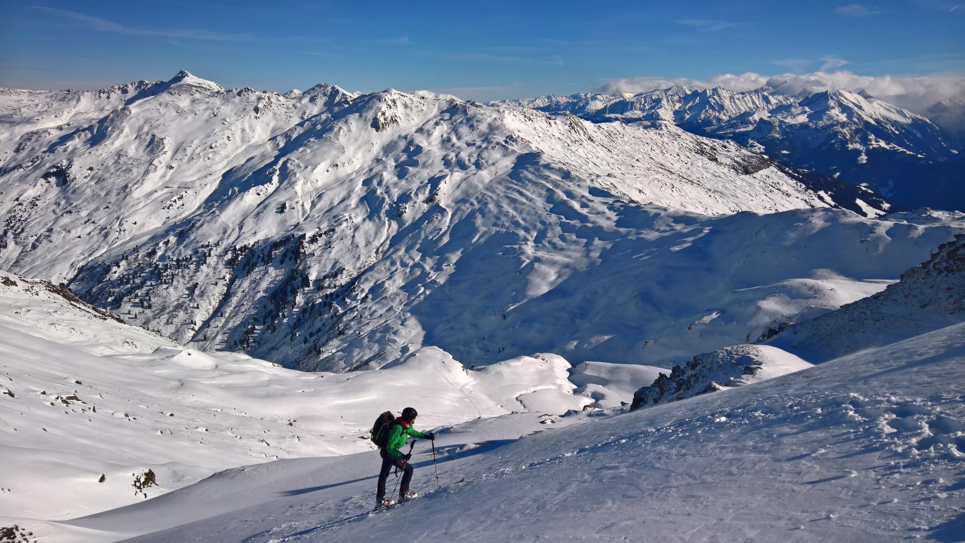
From the top station you climb the small snow wall, which separates the ski area from the open terrain, and now you descend to about 2150m to reach an easily accessible ridge that stretches up to the gap below the Kleine Gilfert.
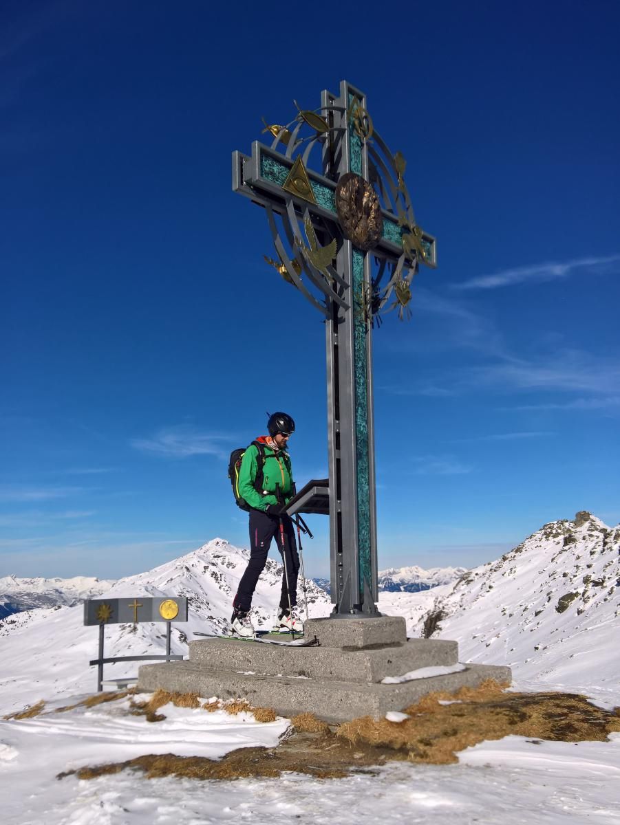
Now, in a short scramble to the summit of the Kleine Gilfert with its interesting summit cross. If you want, you can climb the Pfaffenbichl over the wide ridge before, which is towering over the Hochfügen ski area.
The Kl. Gilfert is now directly crossed and the next ridge upswing can also be surpassed. Always stay close to the ridge. It is mandatory to pay attention to possible cornices and keep the appropriate safety distance!
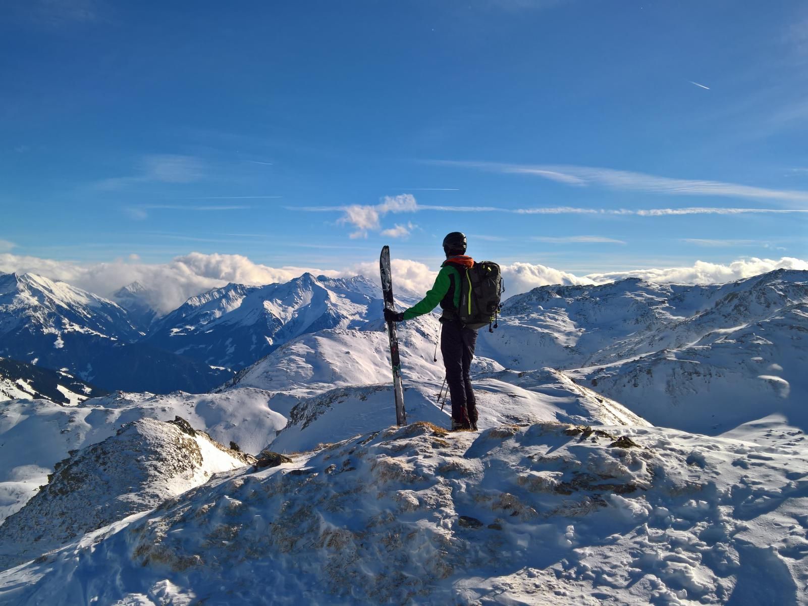
At the highest point of the peak you can now switch back to downhill mode. You ride down to the Pfundsjoch and a little further on until you reach an alpine pasture at about 2150m. This saves you from unpleasant traversing.
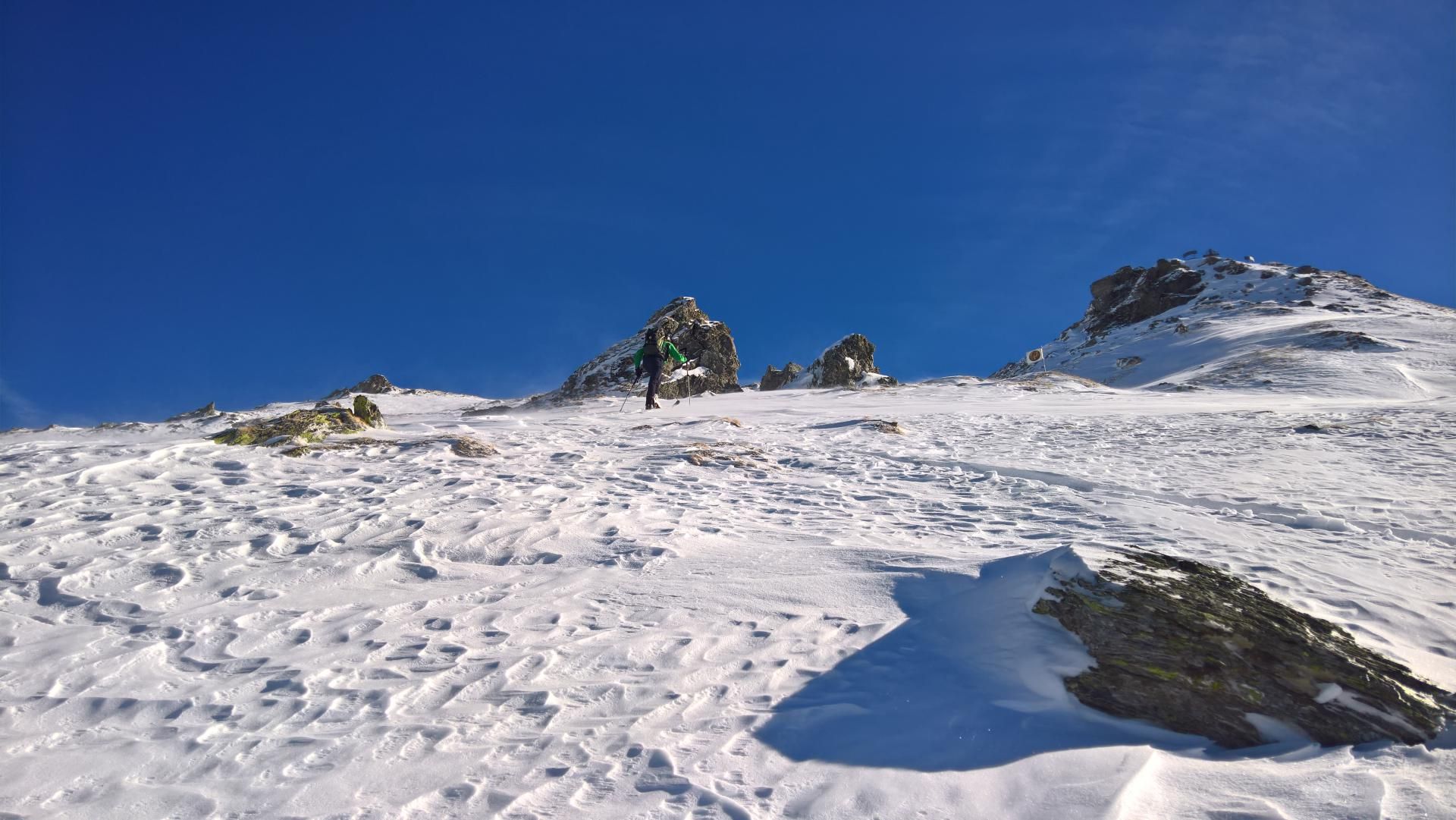
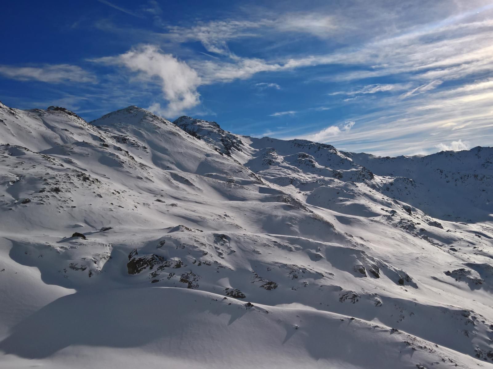
Follow the path until it ends and then follow the gently ascending cwm in Southeastern direction. This now leads below the north ridge to the shoulder in the W-ridge of the Rastkogel. From there short but quite steep, to the summit.
Descent & Variants
From the summit, one descends towards Southeast to a plateau in the direction of Horbergjoch. There is a gentle ramp in the middle between the summit and the Horbergjoch, leading west down towards to Lämmerbichl. At about 2050m you will reach a bridge and a groomed track, which leads you smoothly into the ski area.
If you know your way around, you can also descend down to 1900 or 1800m and return to the ski area from there
Photo Gallery
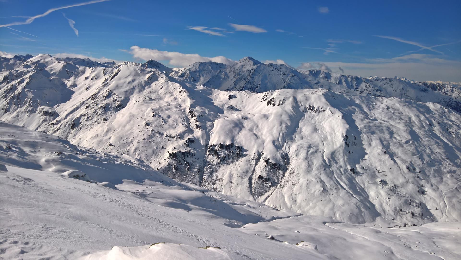
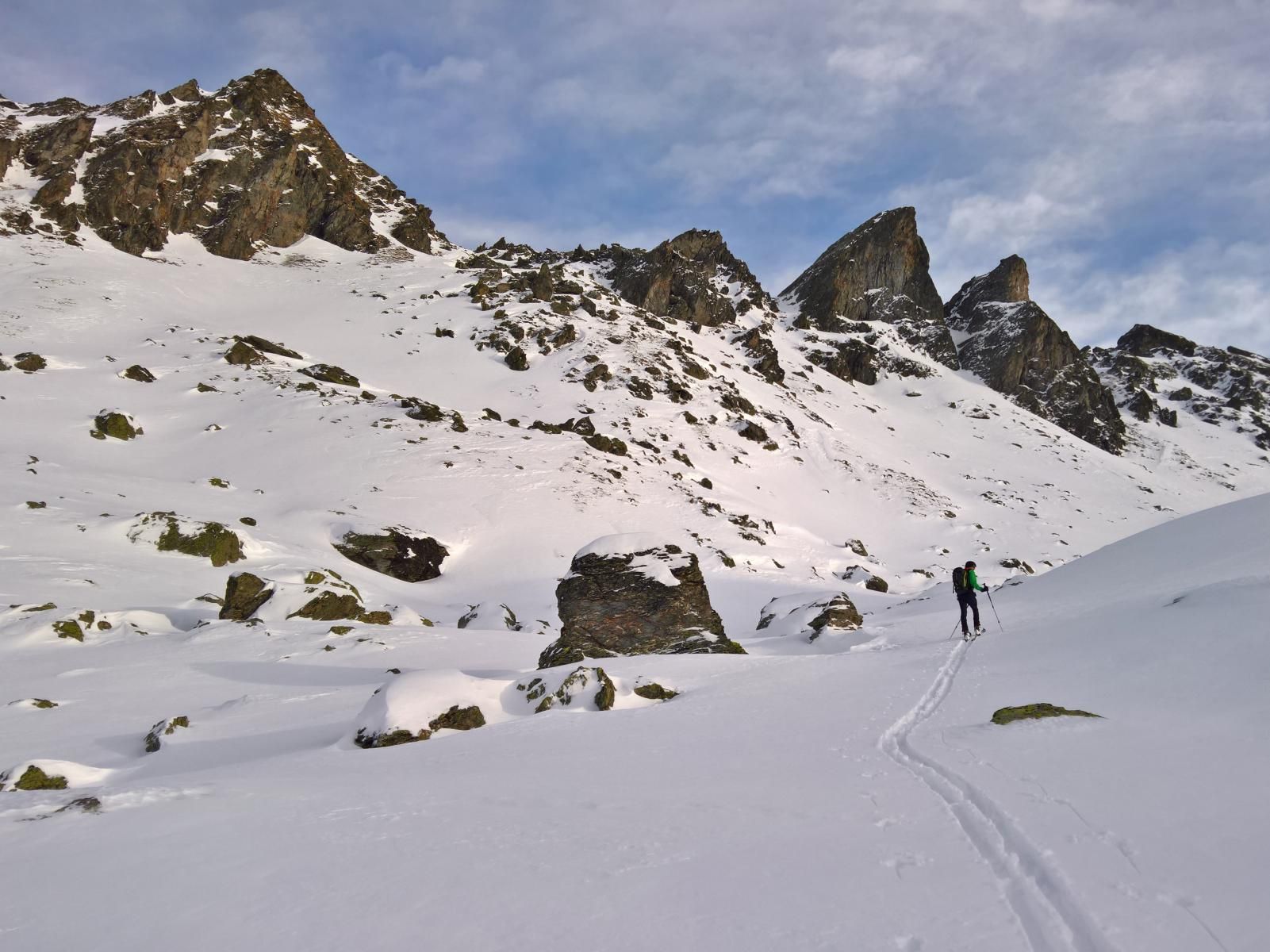
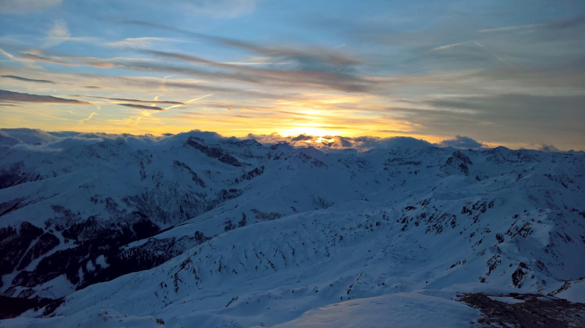
A selection of 10 photos from the tour:
Map and Avalanche Risk
[ASTRO_MAP_INFO_EN]
Image Gallery (10 Photos)
Show all 7 more photos
Slope Map
Tour Planning & Important Notes (OpenSlopeMap)
Tour Planning
You can plan and create your own tour directly in the map. The tour can then be downloaded as a GPX track.
Disclaimer
Every user of the map agrees to use the maps provided on OpenSlopeMap.org at their own responsibility and risk. OpenSlopeMap.org and its operators accept no responsibility for damages.
Map Explanation
- Slope inclinations are a very important criterion in avalanche risk management. However, slope inclination alone should never be the sole criterion!
- The resolution for Austria and South Tyrol is based on a digital terrain model (DTM) with 10m resolution. Outside these areas, accuracy is significantly lower.
- A map can only ever provide a limited view of real conditions.
Frequently Asked Questions
How difficult is this splitboard route?
The route is classified with difficulty level 4.
How many vertical meters does the tour include?
The ascent covers approximately 910 vertical meters.
How long does the ascent take?
The tour takes around 5.5 hours.
Where does the route start?
The starting point of the tour is Hochfügen.