Piz Minor
Route Character
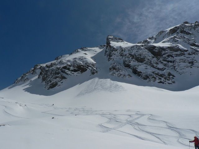
Beautiful, north situated tour with some couloirs on the way that can be ridden. Disturbing is the long flat entry through the Val da Fain, which requires re-mounting the skins at the descent.
Starting Point & Village
Starting point:
Parking Diavolezza cable car, Bernina Suot 2042m, behind the almost ancient inn.
Village: PontresinaAscent & Route
We are prepared for a long, almost flat entry to the backcountry with our splitboards. So we go on the left side of the valley of the Val da Fain (opposite the cable car Diavolezza), left of the creek. Those who like it steep and would like to practice traversing with splitboards, can, in favorable circumstances, cross the relatively steep slopes of the Piz Alv, often endangered by avalanches.
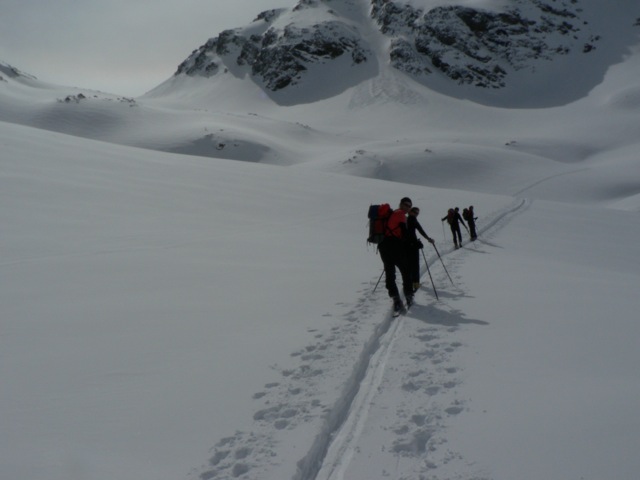
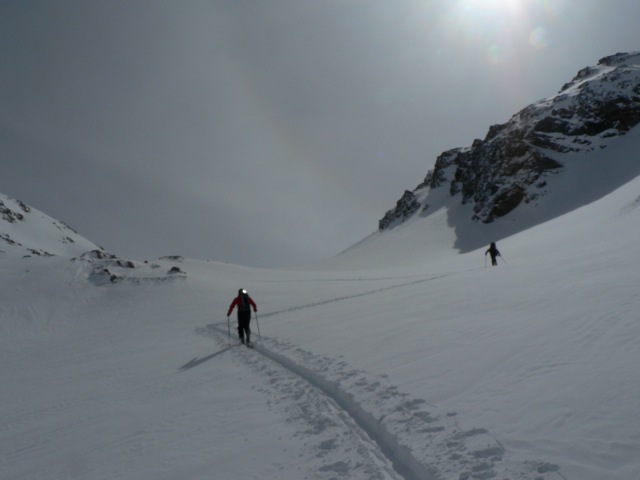
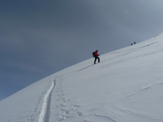
Both entry ways requiere about the same time. We chose the flat one because of the considerable amount of new snow. So we hiked almost plane but relaxed until just before the Alp la stretta. At just under 2400m we move the tips of our splitboards / backcountry ski to the right, head south and go between the moraines of Muot Ardout and Piz Minor. First flat, then steeper we go up to the Minor glacier. On the glacier level, it goes on, again relatively flat, facing south to the clearly recognizable saddle between Piz dals Lejs and Piz Minor. Who wants to test his strength level on ridges can now climb the Piz dals Lejs to the left, or walk on smoothly about 20 minutes to Piz Minor 3049m .
Descent & Variants
Like ascent, there are nice alternatives and at appropriate conditions with a small extra ascent you can enter the steep slopes of the Piz Alv, but you must overcome the river at an appropriate point.
Maps
Landeskarte der Schweiz „Oberengadin“, 5013, 1:50.000.
Photo Gallery
A selection of 5 photos from the tour:
Map and Avalanche Risk
[ASTRO_MAP_INFO_EN]
Image Gallery (5 Photos)
Show all 2 more photos
Slope Map
Tour Planning & Important Notes (OpenSlopeMap)
Tour Planning
You can plan and create your own tour directly in the map. The tour can then be downloaded as a GPX track.
Disclaimer
Every user of the map agrees to use the maps provided on OpenSlopeMap.org at their own responsibility and risk. OpenSlopeMap.org and its operators accept no responsibility for damages.
Map Explanation
- Slope inclinations are a very important criterion in avalanche risk management. However, slope inclination alone should never be the sole criterion!
- The resolution for Austria and South Tyrol is based on a digital terrain model (DTM) with 10m resolution. Outside these areas, accuracy is significantly lower.
- A map can only ever provide a limited view of real conditions.
Frequently Asked Questions
How difficult is this splitboard route?
The route is classified with difficulty level 3.
How many vertical meters does the tour include?
The ascent covers approximately 1003 vertical meters.
How long does the ascent take?
The tour takes around 3.5 hours.
Where does the route start?
The starting point of the tour is Pontresina.