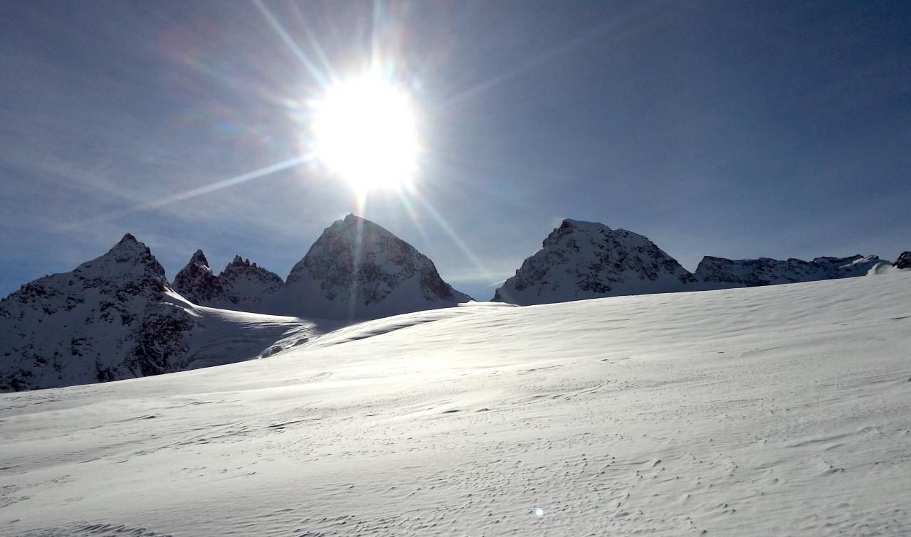
Piz Buin from Wiesbadener Hütte
Route Character
High alpine tour to the summit of the “Sunscreen Mountain”. High mountaineering equipment and the basics of mountaineering and glacier walking necessary. The Ochsentaler glacier to be crossed, however, is quite low in crevasses and often frequented. As a traverse or round tour through the Silvretta, you can also descend towards the Silvretta hut or Tuoi hut from the summit.
Starting Point & Village
Starting point: Wiesbadener Hütte Village: Galtür
Ascent & Route
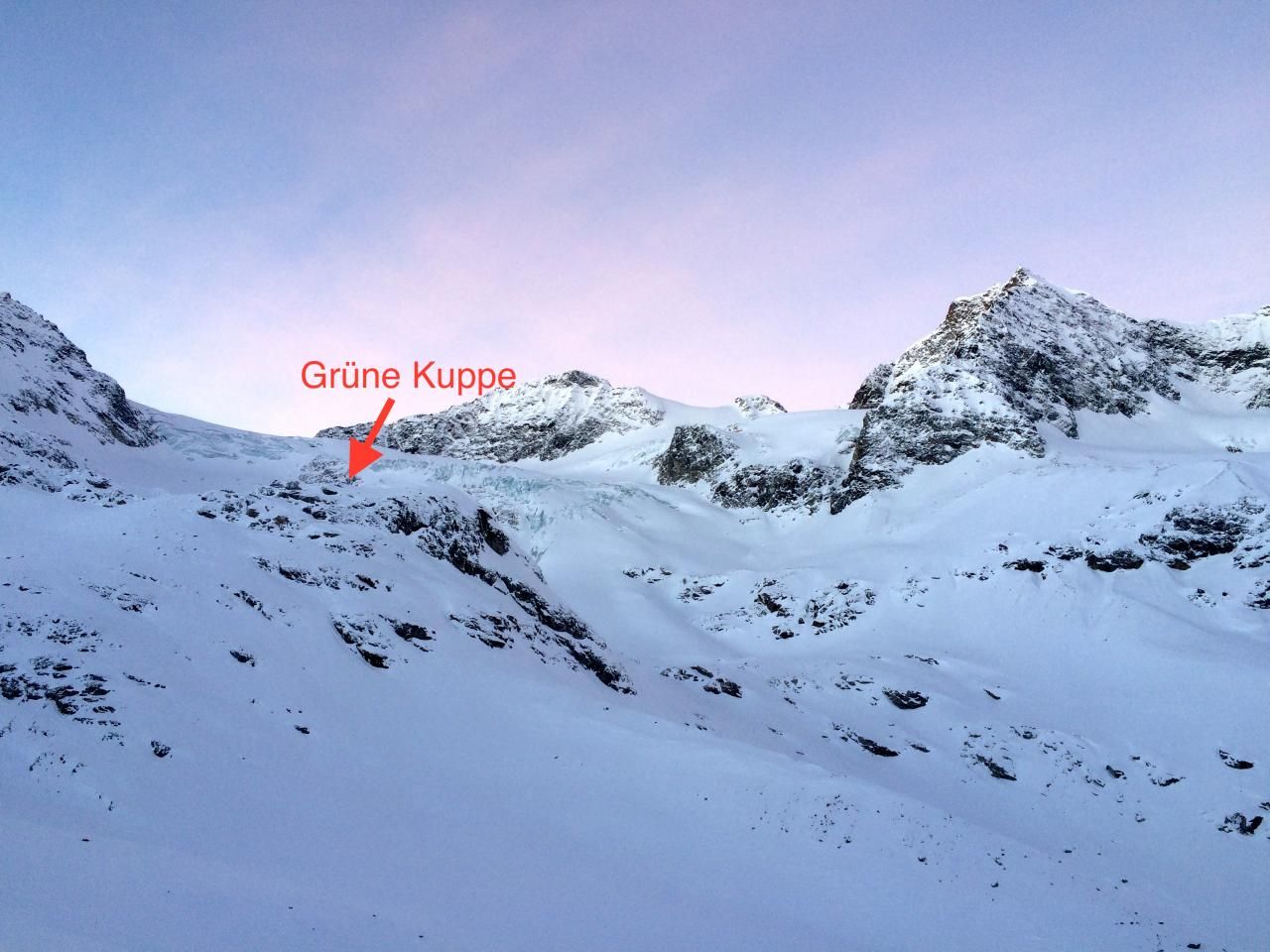
Start at the Wiesbadener Hütte, follow the ascent path downhill for a few metres to the south. After a couple of metres, the way turns eastwards and you leave the path and head south. The first goal is the summit ridge of the Grüner Kuppe (2579m) which can be seen clearly before the glacier fall. After reaching the glacier outflow, climb up the eastern slope of the Grüner Kuppe to the summit ridge and follow it to the south underneath the glacier. Now one crosses underneath the glacier to the west side of the glacier.
From here on, rope up if necessary, as overcoming the glacier rupture on the Ochsental glacier is the most crevasse-rich section. After overcoming the glacier fall, the ascent at the edge of the glacier leads in a large arc to the Piz-Buin scharte between Großem and Kleine Piz-Buin. Here’s the ski depot.
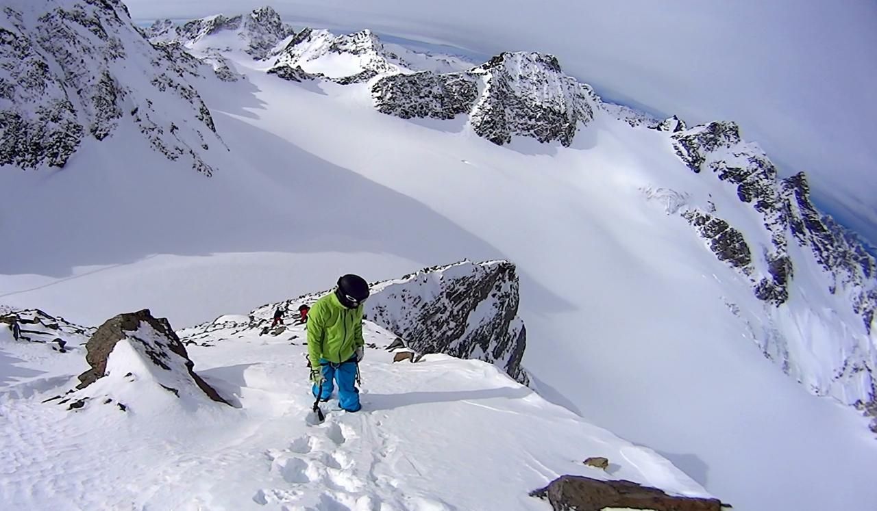
From the ski depot you follow the western slope to the north-western flank of the summit. From here on, there are 2 climbing sections in II-III degree which can be secured from above at stands, if the conditions make it necessary (only one brave person has to go through the chimney… and then secure from above) In the upper area to the summit you will find again I-II walking terrain.
Descent & Variants
Descent from the summit to the ski depot. The ride then follows the ascent route to below the glacier fall. From here on, the route continues along the glacier moraine down to the ascent path to the hut. Here it’s off down into the valley or skinng up to the Wiesbadener Hütte for approx. 200 vertical meters.
Maps
AV-Karte 26 Silvrettagruppe: Skirouten - Topographische Karte 1:25000
Photo Gallery
A selection of 3 photos from the tour:
Map and Avalanche Risk
[ASTRO_MAP_INFO_EN]
Image Gallery (3 Photos)
Slope Map
Tour Planning & Important Notes (OpenSlopeMap)
Tour Planning
You can plan and create your own tour directly in the map. The tour can then be downloaded as a GPX track.
Disclaimer
Every user of the map agrees to use the maps provided on OpenSlopeMap.org at their own responsibility and risk. OpenSlopeMap.org and its operators accept no responsibility for damages.
Map Explanation
- Slope inclinations are a very important criterion in avalanche risk management. However, slope inclination alone should never be the sole criterion!
- The resolution for Austria and South Tyrol is based on a digital terrain model (DTM) with 10m resolution. Outside these areas, accuracy is significantly lower.
- A map can only ever provide a limited view of real conditions.
Frequently Asked Questions
How difficult is this splitboard route?
The route is classified with difficulty level 303.
How many vertical meters does the tour include?
The ascent covers approximately 1100 vertical meters.
How long does the ascent take?
The tour takes around 4.5 hours.
Where does the route start?
The starting point of the tour is Galtür.