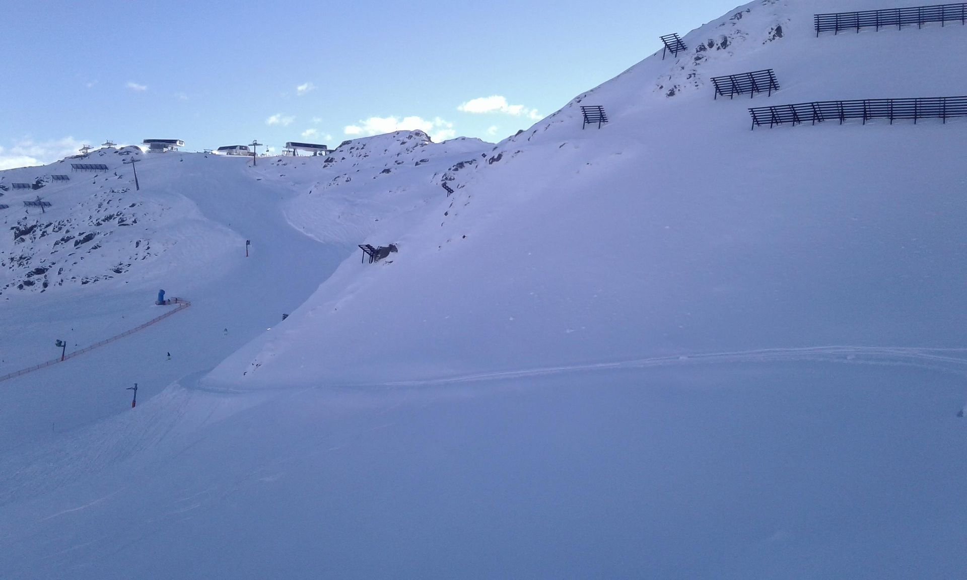
Pangert
Route Character
Easy lift-supported short splitboard tour from the Mayrhofen ski resort with less than 350 metres of ascent and over 1100 metres of descent. If you are fast, you can complete the tour in less than two hours.
Starting Point & Village
Starting point: Take the “Gerent” chairlift to the Hoarbergkarspitze (2278 m). Then ski down piste no. 15 a little in the direction of Unterbergalm. Turn left into the first possible Ratrac trail. Village: Mayrhofen
Ascent & Route
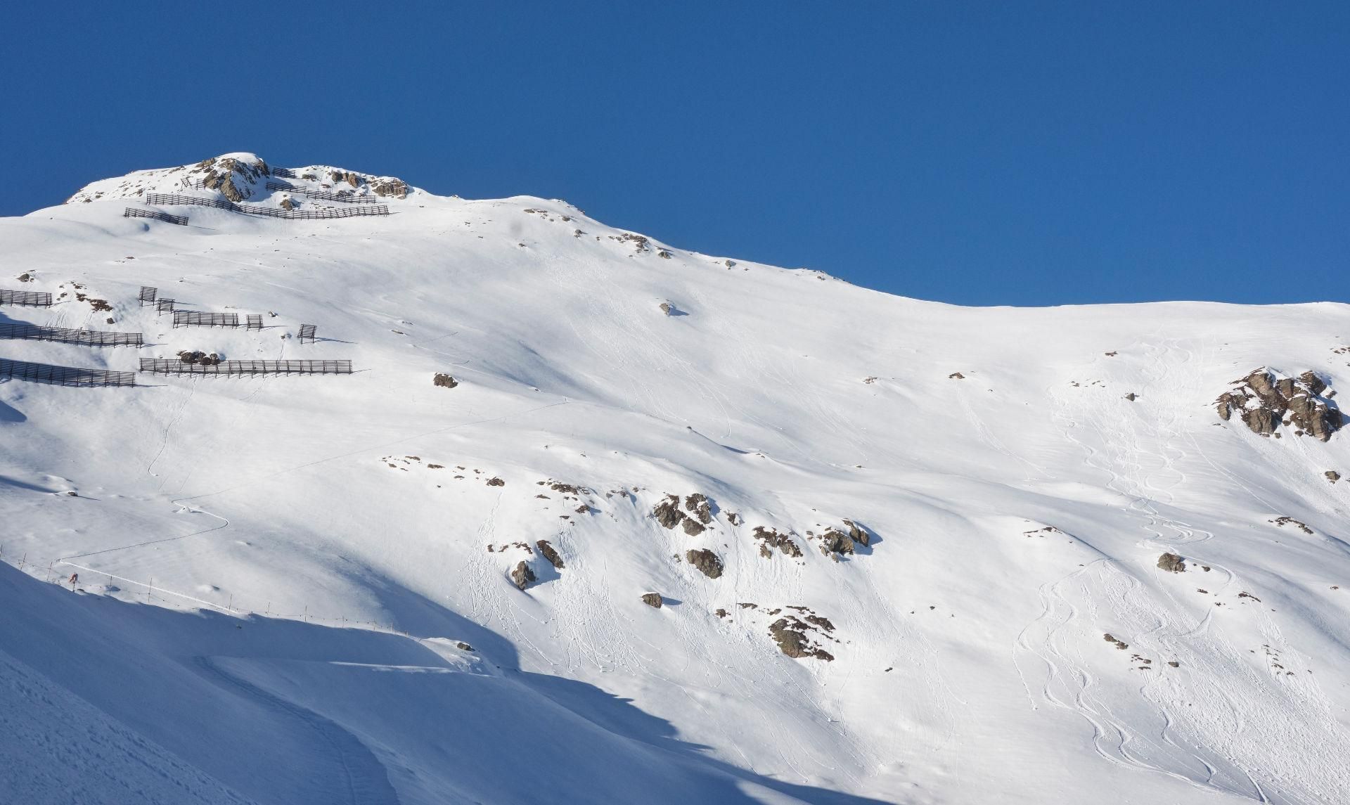
We follow the Ratrac trail to the end of the reservoir on the left side. From there we continue over slightly hilly terrain in north-western direction. The slope gets a little steeper, but except for a small section of slope the ascent remains below 30 degrees gradient. We always keep to the right of the avalanche barriers. Behind the last avalanche barrier we keep to the left and continue along the ridge to the summit of Pangert.
Descent & Variants
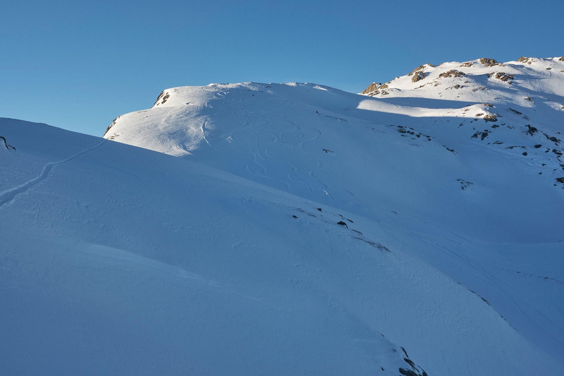
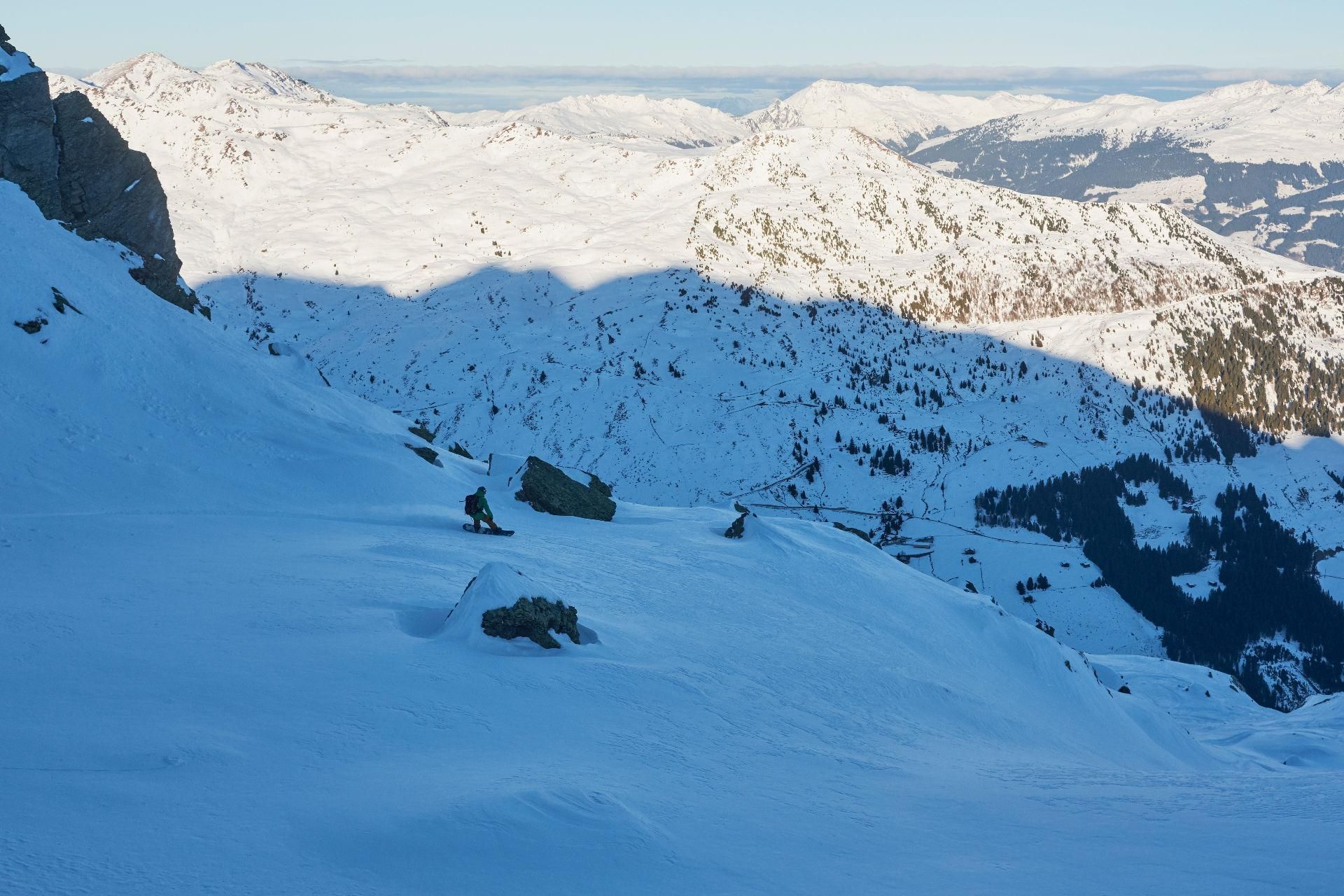
Down the Pangert there are several chutes:
- In eastern direction you come back to the skiing area.
- The chute in north-east-east direction leads to Mösl and remains under 30° in the upper sector and under 35° in the lower sector of the Sandeggalm (we took this route).
- The chute to the north-east, directly south below Sandegg (2360 m) also leads to Mösl (we have not ridden).
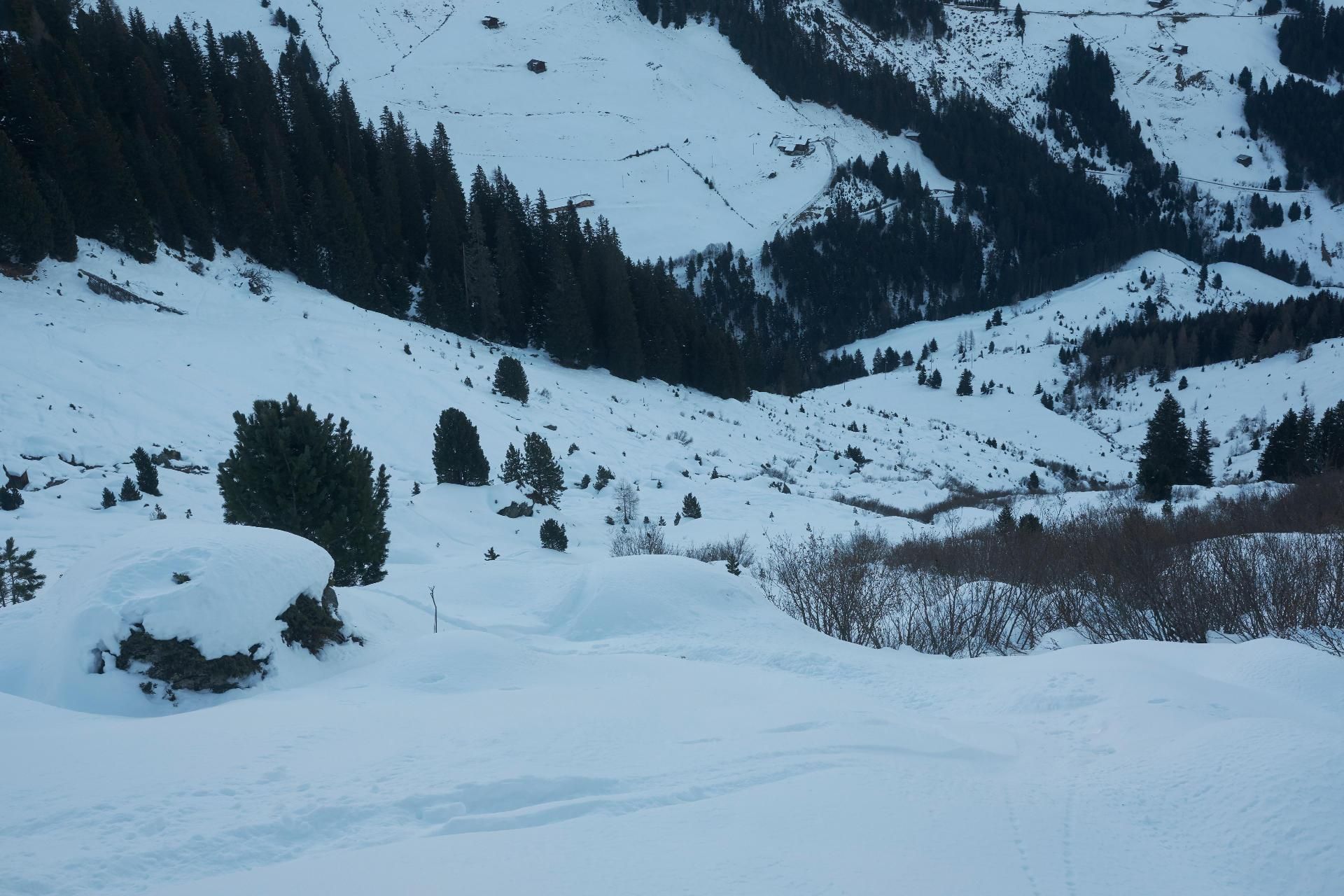
Here it is important to take the correct route, so it is better to take a look at the map once again. From Mösl you can get back to the Mayrhofen ski area by means of the newly built gondola. An ascent is possible until 16:30 o’clock. There is also a bus connection back to the main valley in Mösl.
PS: In the GPS track we didn’t make it completely to the summit of the Pangert due to lack of time and already descended to Mösl below the summit.
Maps
Alpenvereinskarte 33 Tuxer Alpen - Ost 1:50.000
Photo Gallery
A selection of 5 photos from the tour:
Map and Avalanche Risk
[ASTRO_MAP_INFO_EN]
Image Gallery (5 Photos)
Show all 2 more photos
Slope Map
Tour Planning & Important Notes (OpenSlopeMap)
Tour Planning
You can plan and create your own tour directly in the map. The tour can then be downloaded as a GPX track.
Disclaimer
Every user of the map agrees to use the maps provided on OpenSlopeMap.org at their own responsibility and risk. OpenSlopeMap.org and its operators accept no responsibility for damages.
Map Explanation
- Slope inclinations are a very important criterion in avalanche risk management. However, slope inclination alone should never be the sole criterion!
- The resolution for Austria and South Tyrol is based on a digital terrain model (DTM) with 10m resolution. Outside these areas, accuracy is significantly lower.
- A map can only ever provide a limited view of real conditions.
Frequently Asked Questions
How difficult is this splitboard route?
The route is classified with difficulty level 3.
How many vertical meters does the tour include?
The ascent covers approximately 330 vertical meters.
How long does the ascent take?
The tour takes around 1 hours.
Where does the route start?
The starting point of the tour is Mayrhofen.