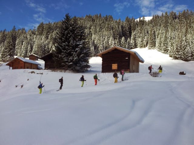
Obere Roebialpe
Route Character
A cozy beginner tour. There are no difficult spots and it is not too long. Also very good for experienced hikers as the first tour of the season.
Starting Point & Village
Starting point: Starting point is the parking lot Gargellen. Village: Gargellen
Ascent & Route
First follow the sidewalk next to the creek in the direction to Garnelen. At the third pedestrian bridge you cross the creek and then on a bigger bridge for cars, it soon goes over the river. Immediately after the bridge turn left on a forest road into the forest. Run in to it. Immediately to the right is a small plateau, there you can strap on your skis. Along the forest path it goes through the forest towards the Obere Röbialpe. From there you can keep walking to the peak which ends in a ridge. The destination is already visible from the alp. Real signposts are not available. The best thing is to orientate by the GPS route.
Descent & Variants
It almost always goes just barely next to the ascent route back downhill. You should just leave your eyes open to see the most beautiful descent. I could not recognize dangers along the way. Again, it is the best to orientate on the GPS route, as there are no signs. If you are not sure, you can go down the same way you hiked up. It”s just a bit boring then!
Photo Gallery
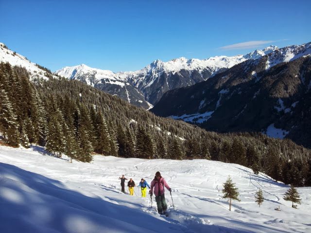
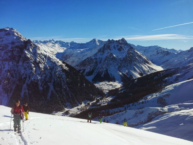
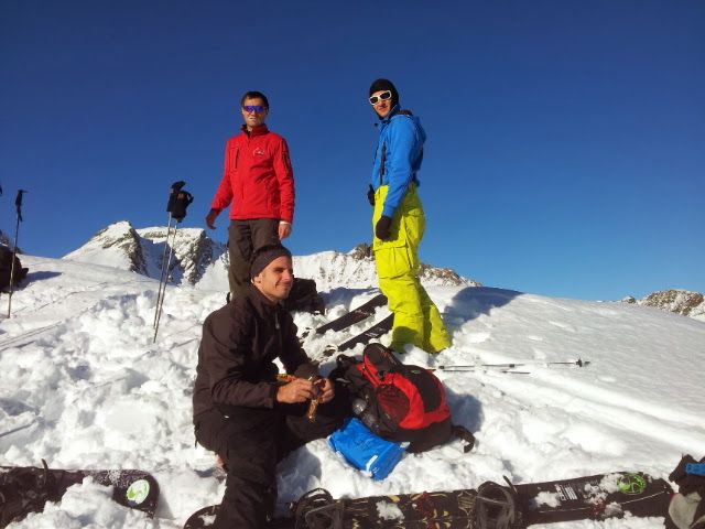
A selection of 4 photos from the tour:
Map and Avalanche Risk
[ASTRO_MAP_INFO_EN]
Image Gallery (4 Photos)
Show all 1 more photos
Slope Map
Tour Planning & Important Notes (OpenSlopeMap)
Tour Planning
You can plan and create your own tour directly in the map. The tour can then be downloaded as a GPX track.
Disclaimer
Every user of the map agrees to use the maps provided on OpenSlopeMap.org at their own responsibility and risk. OpenSlopeMap.org and its operators accept no responsibility for damages.
Map Explanation
- Slope inclinations are a very important criterion in avalanche risk management. However, slope inclination alone should never be the sole criterion!
- The resolution for Austria and South Tyrol is based on a digital terrain model (DTM) with 10m resolution. Outside these areas, accuracy is significantly lower.
- A map can only ever provide a limited view of real conditions.
Frequently Asked Questions
How difficult is this splitboard route?
The route is classified with difficulty level 3.
How many vertical meters does the tour include?
The ascent covers approximately 775 vertical meters.
How long does the ascent take?
The tour takes around 3 hours.
Where does the route start?
The starting point of the tour is Gargellen.