Naviser Kreuzjoechl
Route Character
Very nice classic route at Navis, well attended. Highly popular splitboard / backcountry area offers often fine powder.
Starting Point & Village
Starting point: Parking toboggan run Naviser Hütte Village: Navis
Ascent & Route
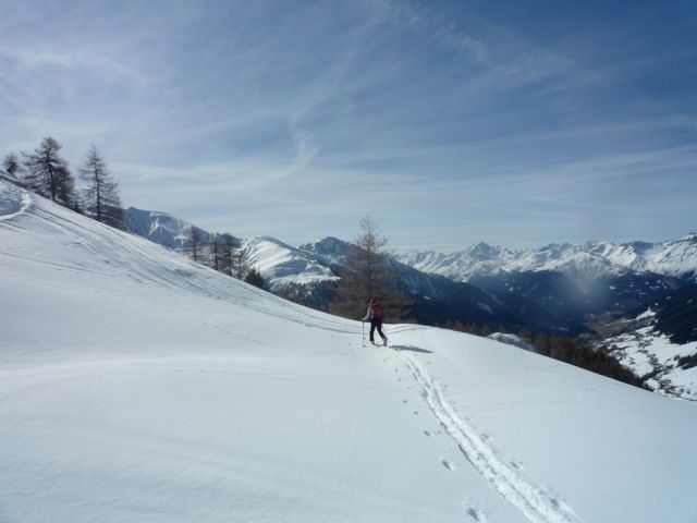
For beginners it is along the toboggan run up to the Naviser Hütte. We shorten the elongated sweeping off, as we ascend to the mostly groomed forest in beautiful grounds. Dia as we move on "splitboard skins" (ski skins) quietly to allow the dear the necessary winter dormancy. Immediately after the Naviser Hütte we hike left on a slope to the already visible Stoeckl Alm 1882m. Once here, we keep right and go forward to a prominent spine. "Kick-turning" we reach the ridge, enjoy the view and march on. When we have climbed the first spine the summit of Navis Kreuzjöchel is already visible. With the splitboards or backcountry skis, we reach the summit of Naviser Kreuzjöchel at 2,536 m.
Descent & Variants
As ascent, or we keep heading north and ride beautiful splitboard / backcountry terrain down to the Klammalm 1947m. We have to overcome about 20 minutes sliding track and get to Peeralm. From here we can follow a ski slope, a toboggan run or free splitboard / ski area (but then, crossing the brook gorge at the small bridge) go straight to the parking lot.
Refreshments & Huts
Stöcklalm 1882m or Peer Alm 1636m (North descent)
Maps
Kompass Karte WK36: Innsbruck, Brenner: Wandern / Rad / Skitouren. 1:50.000
Alpenvereinskarte 31/5 Innsbruck und Umgebung 1 : 50 000 Topographische Karte
Photo Gallery
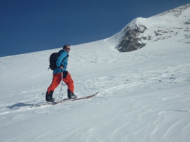
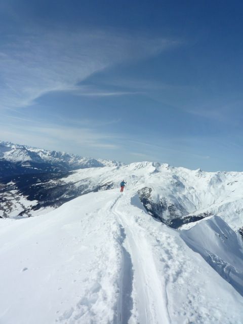
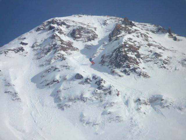
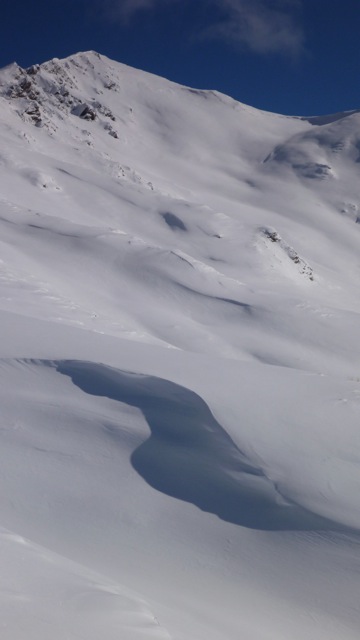
A selection of 5 photos from the tour:
Map and Avalanche Risk
[ASTRO_MAP_INFO_EN]
Image Gallery (5 Photos)
Show all 2 more photos
Slope Map
Tour Planning & Important Notes (OpenSlopeMap)
Tour Planning
You can plan and create your own tour directly in the map. The tour can then be downloaded as a GPX track.
Disclaimer
Every user of the map agrees to use the maps provided on OpenSlopeMap.org at their own responsibility and risk. OpenSlopeMap.org and its operators accept no responsibility for damages.
Map Explanation
- Slope inclinations are a very important criterion in avalanche risk management. However, slope inclination alone should never be the sole criterion!
- The resolution for Austria and South Tyrol is based on a digital terrain model (DTM) with 10m resolution. Outside these areas, accuracy is significantly lower.
- A map can only ever provide a limited view of real conditions.
Frequently Asked Questions
How difficult is this splitboard route?
The route is classified with difficulty level 3.
How many vertical meters does the tour include?
The ascent covers approximately 1140 vertical meters.
How long does the ascent take?
The tour takes around 3 hours.
Where does the route start?
The starting point of the tour is Navis.