Napfen (Fischers Napf)
Route Character
Rich variety splitboard / backcountry route to the Fischers Napf (Napfen). Beautiful variations in the wide terrain.
Starting Point & Village
Starting point:
Bus turning area in Obern / Madern
Village: Schmirn
Ascent & Route
Directly behind an easily recognizable farm we hike up a bit with our splitboards / backcountry skis shortly thereafter we turn right towards East. Now we pass (at hard conditions and with splitboard the best way is to use crampons) the steep south-west slope below the avalanche galleries, until we reach a column of the material-cable car. Now it goes down easy on the summer trail in the narrow gorge, which we cross at an appropriate location and then somewhat more steeply up to the mountain station of the material lift.
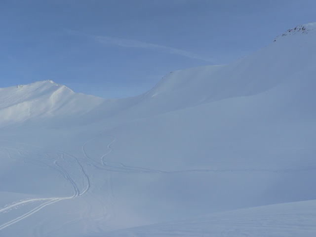
From here we hike in beautiful splitboard / backcountry terrain and pass the first steep section, then walk on almost flat in a wide curve to the left (the Gullen to our left) to the second steep-section. Now we recognize two well-developed backs and overcome the escarpment at the simplest on the left one. We can see the jagged peak of the Napfen and bear right to climb onto the saddle of the south of the summit. Finally, there is a short steep section and then we set up the splitboard / backcountry ski deposit. We take some deep breath and go on by foot through the narrow south ridge to the summit of the Fischers Napf 2493m.
Descent & Variants
As ascent, however, the vast terrain often offers beautiful untracked descent variants.
Maps
Kompass Karte: Innsbruck, Brenner: Wandern / Rad / Skitouren. 1:50.000
Photo Gallery
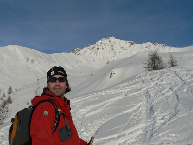
A selection of 3 photos from the tour:
Map and Avalanche Risk
[ASTRO_MAP_INFO_EN]
Image Gallery (3 Photos)
Slope Map
Tour Planning & Important Notes (OpenSlopeMap)
Tour Planning
You can plan and create your own tour directly in the map. The tour can then be downloaded as a GPX track.
Disclaimer
Every user of the map agrees to use the maps provided on OpenSlopeMap.org at their own responsibility and risk. OpenSlopeMap.org and its operators accept no responsibility for damages.
Map Explanation
- Slope inclinations are a very important criterion in avalanche risk management. However, slope inclination alone should never be the sole criterion!
- The resolution for Austria and South Tyrol is based on a digital terrain model (DTM) with 10m resolution. Outside these areas, accuracy is significantly lower.
- A map can only ever provide a limited view of real conditions.
Frequently Asked Questions
How difficult is this splitboard route?
The route is classified with difficulty level 4.
How many vertical meters does the tour include?
The ascent covers approximately 873 vertical meters.
How long does the ascent take?
The tour takes around 2.75 hours.
Where does the route start?
The starting point of the tour is Schmirn.