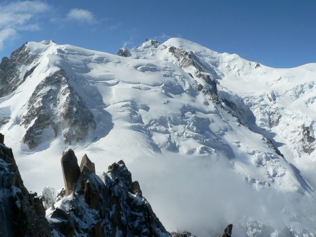
Mont Blanc de Tacul
Route Character
Fat scenery in the area of Mont Blanc, the risks involved are not to be underestimated, descent on the Mer de Glace brings a dreamlike splitboard / backcountry route with a surprise at the end.
The tour description is deliberately kept short, because it is absolutely necessary to prepare yourself in this area using the map and talking to locals.
Starting Point & Village
Starting point: Refuge Cosmic 3613m Village: Chamonix
Ascent & Route
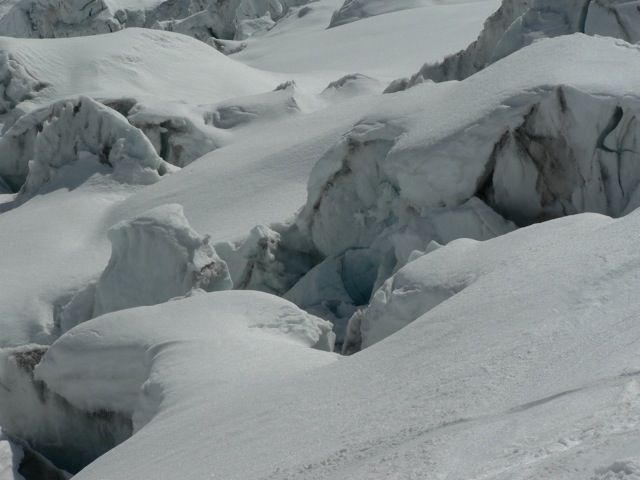
First, we ride down to the Col du Midi, from here it goes up the northwestern flank of the Mont Blanc du Tacul, with the splitboards in hike-mode. Becoming increasingly steep we decide on a suitable place to walk on with rope and crampons. The terrain is around 35-40° and interspersed with crevasses. The best way is always changing. However, we checked the best ascent line the day before from the Cosmic hut, as you could do as well.
Descent & Variants
As ascent and then on the Mer de Glace. Known as the "Vallée Blanche" the descent from Aiguille du Midi to Montenvers normally tracked as a slope. But anyway take care because there are vast crevasses and you move in challenging alpine area. Special care is required on the NW slope of Tacul!
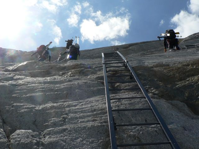
At the end of the descent you will find some vertical ladders to get back to the railway and than to Chamonix.
Maps
IGN Chamonix - Massif du Mont Blanc 1 . 25 000
Photo Gallery
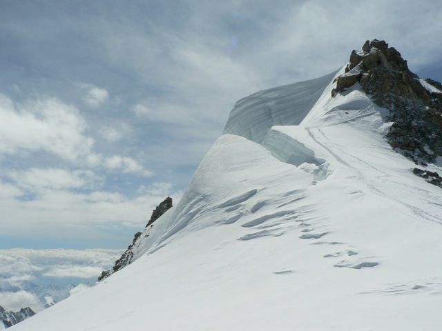
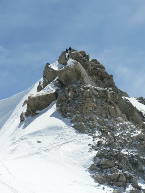
A selection of 5 photos from the tour:
Map and Avalanche Risk
[ASTRO_MAP_INFO_EN]
Image Gallery (5 Photos)
Show all 2 more photos
Slope Map
Tour Planning & Important Notes (OpenSlopeMap)
Tour Planning
You can plan and create your own tour directly in the map. The tour can then be downloaded as a GPX track.
Disclaimer
Every user of the map agrees to use the maps provided on OpenSlopeMap.org at their own responsibility and risk. OpenSlopeMap.org and its operators accept no responsibility for damages.
Map Explanation
- Slope inclinations are a very important criterion in avalanche risk management. However, slope inclination alone should never be the sole criterion!
- The resolution for Austria and South Tyrol is based on a digital terrain model (DTM) with 10m resolution. Outside these areas, accuracy is significantly lower.
- A map can only ever provide a limited view of real conditions.
Frequently Asked Questions
How difficult is this splitboard route?
The route is classified with difficulty level 5.
How many vertical meters does the tour include?
The ascent covers approximately 635 vertical meters.
How long does the ascent take?
The tour takes around 3 hours.
Where does the route start?
The starting point of the tour is Chamonix.