Luesener Fernerkogel
Route Character
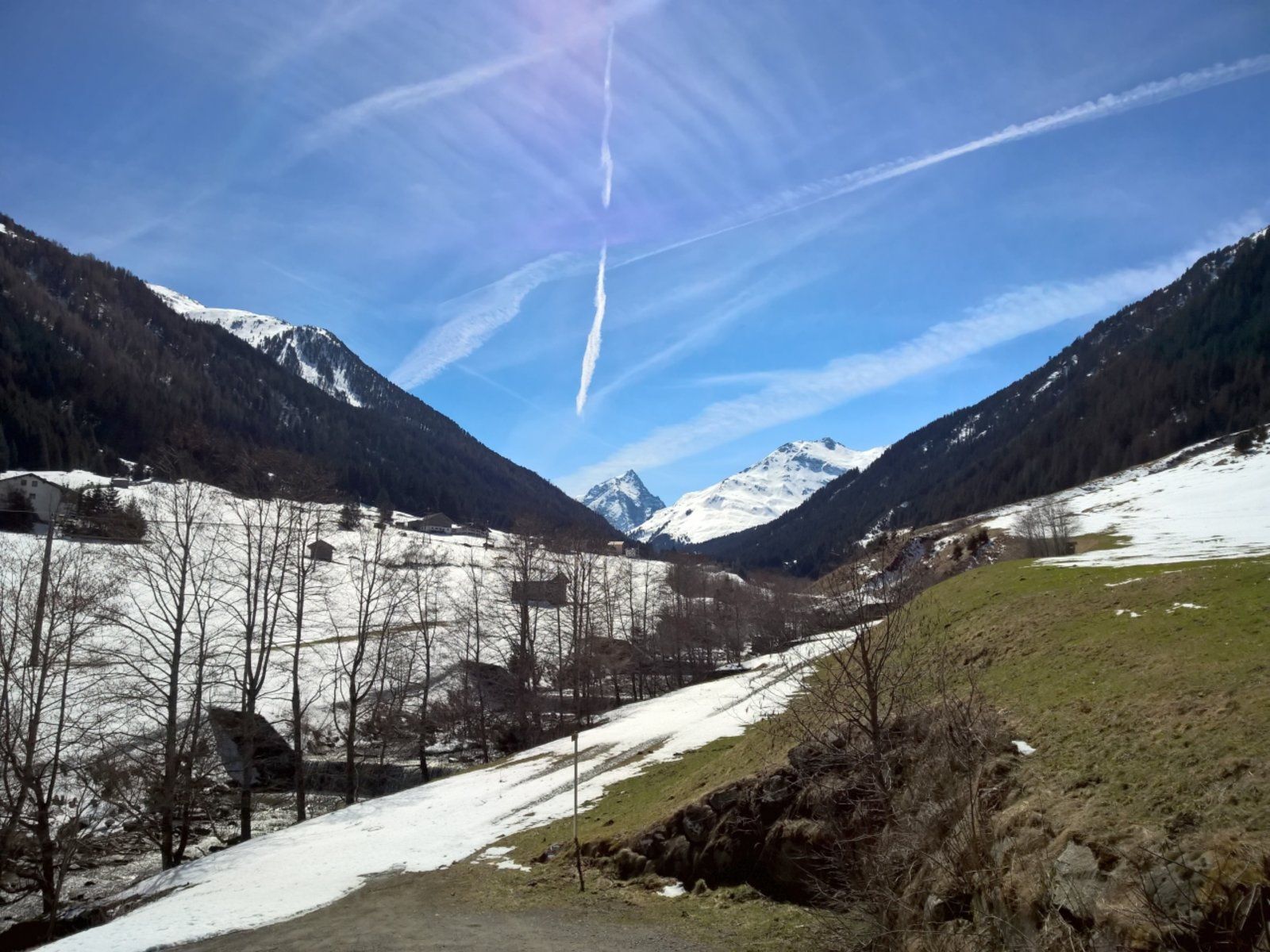
Serious, high alpine but frequently done route, on a fantastic 3000m in the Sellrain - the summit is also called the Matterhorn of Tyrol (picture 1).
Safe conditions necessary! The key section - the Plattige Wand - is to be overcome by a 40° steep traverse, but can also be bypassed (check the description)
Equipment: complete touring equipment + crampons for board and feet
Starting Point & Village
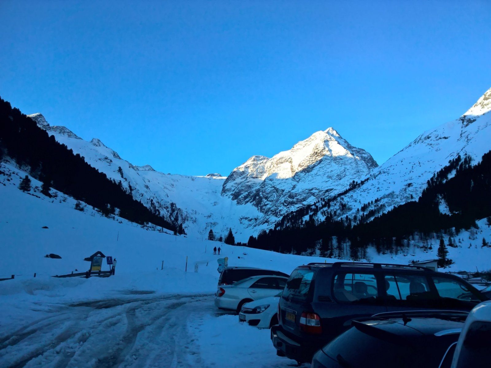
Starting point: Alpengasthof Lüsens 1634m Village: St. Sigmund im Sellrain
Ascent & Route
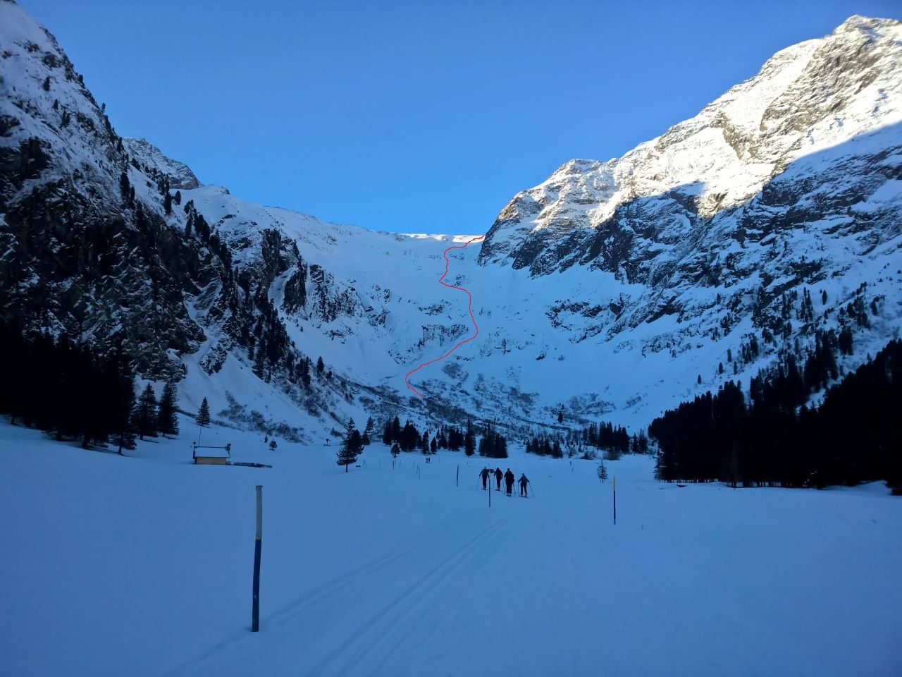
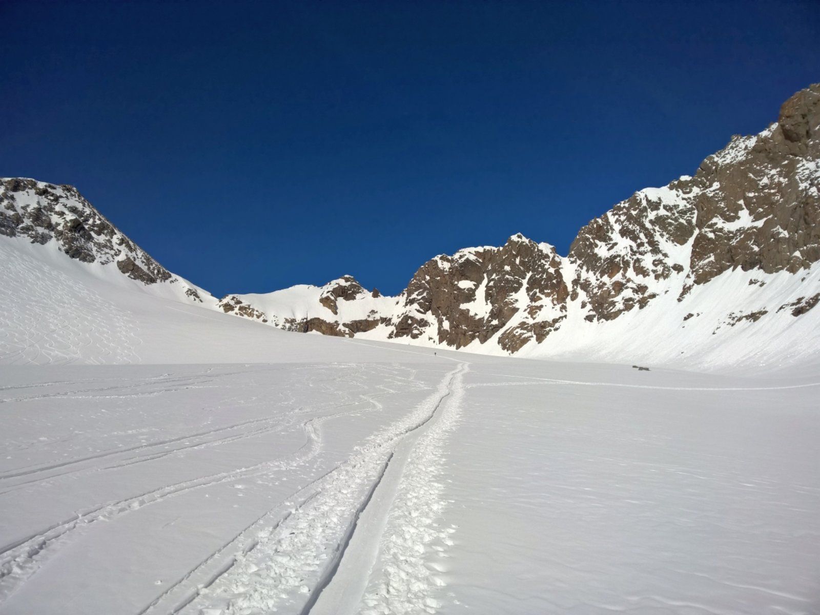
From the Alpengasthof you follow the left of the two cross-country ski trails towards the end of the valley and directly to the “Wall of Huy”; o) (picture 3) - no, the steep slope is not called this way, but strangely enough it was always in my head when I walked towards it - cyclists know this classic. This steep step overcomes an impressive 1100m.
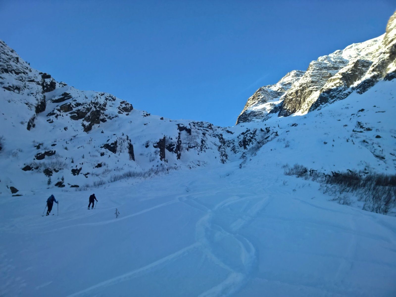
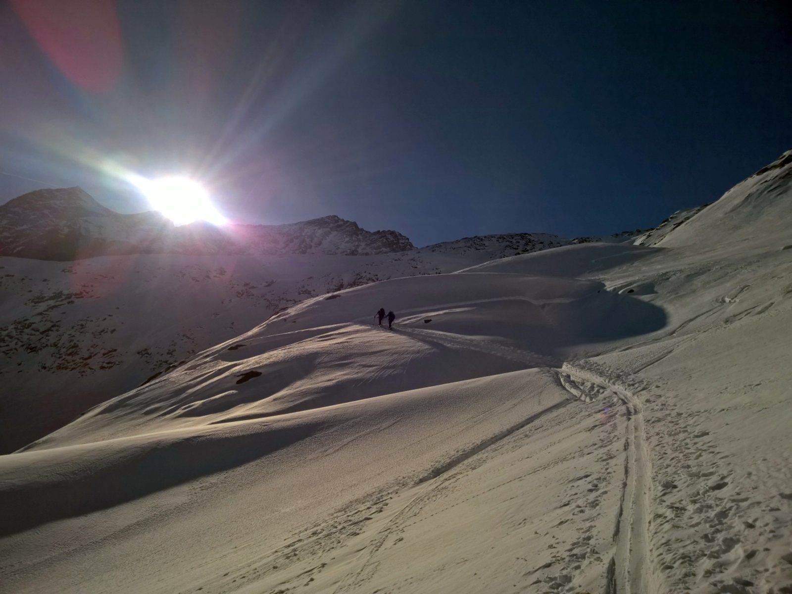
Shortly before the end of the valley, the cross-country trail turns to the right and we continue walking directly towards the “wall”. Through hollows and short upswings it goes through this wall in alternating steepness, whereby one moves rather on the right side. On the left, it is severely torn through many ditches. Most of the time you will find a track.
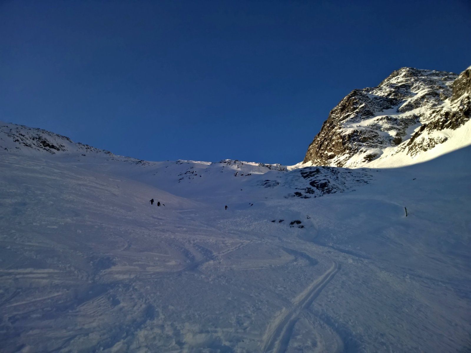
Shortly before you reach the upper edge, you can see a possible downhill and ascent variant on the right. In the ascent, the area of the Plattige Wand is thus bypassed, which makes sense with increasing daytime warming. However, this wide channel is quite steep. It’s best to have a closer look at the map - it’s important to note that the southernmost channel from the Rotgratferner is the right one.
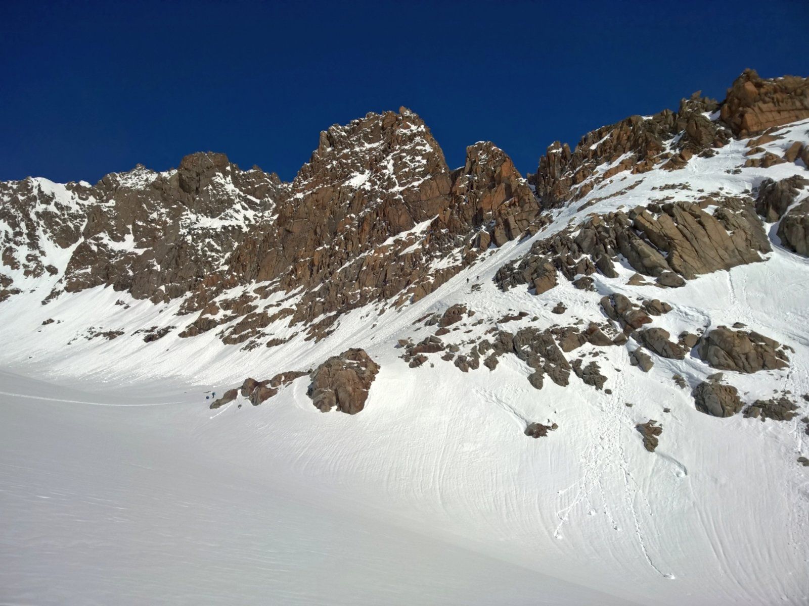
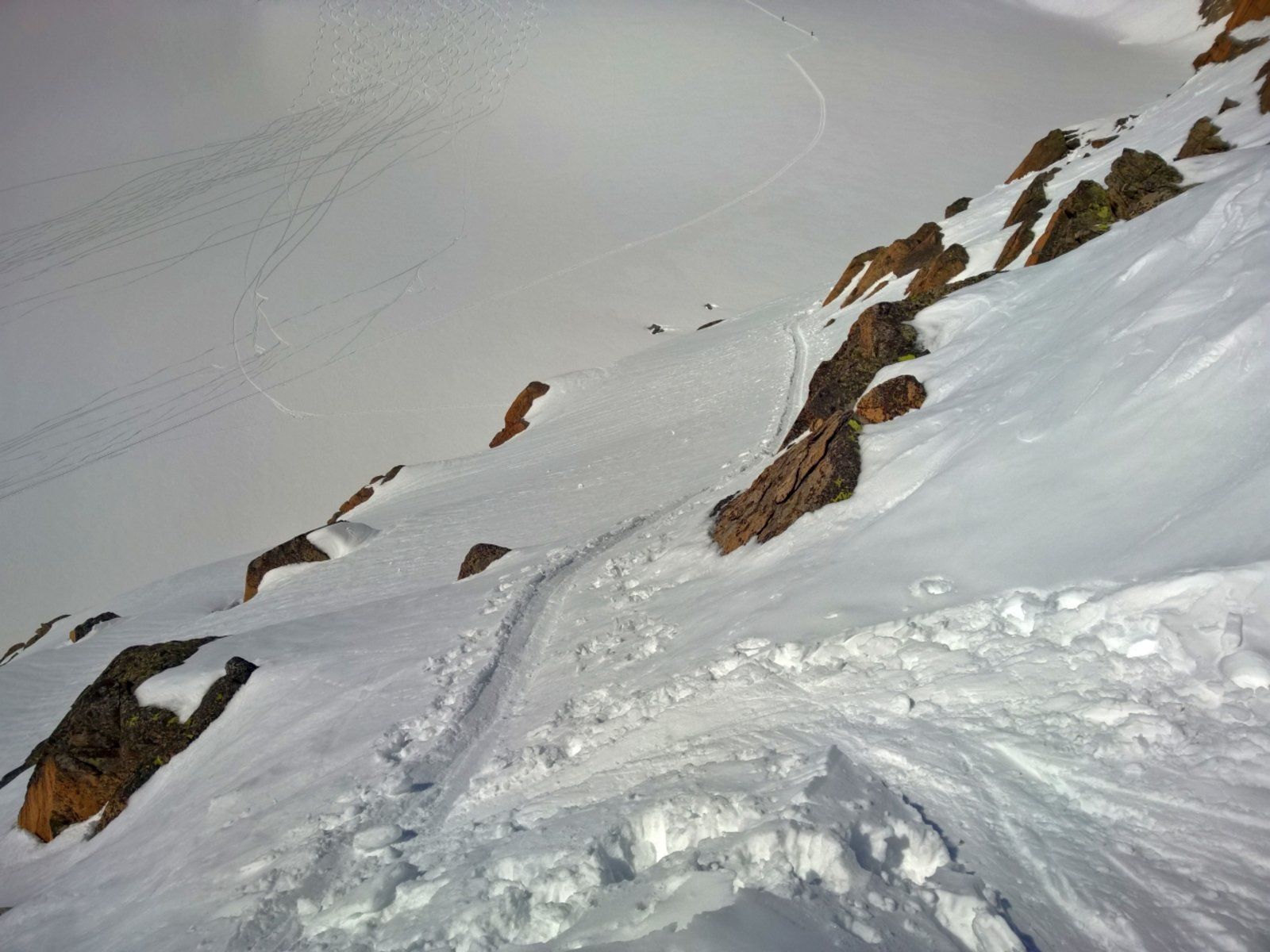
We follow the original ascent, now first flat in a westerly direction into the basin between Lissener Spitze and Fernerkogel (Picture 7). At about 3000m on the right the ascent through the Plattige Wand branches off. Traversing and ascending to the right one looks for the path. After leaving this area behind, you stand above the channel which we will descend later or you can also climb up.
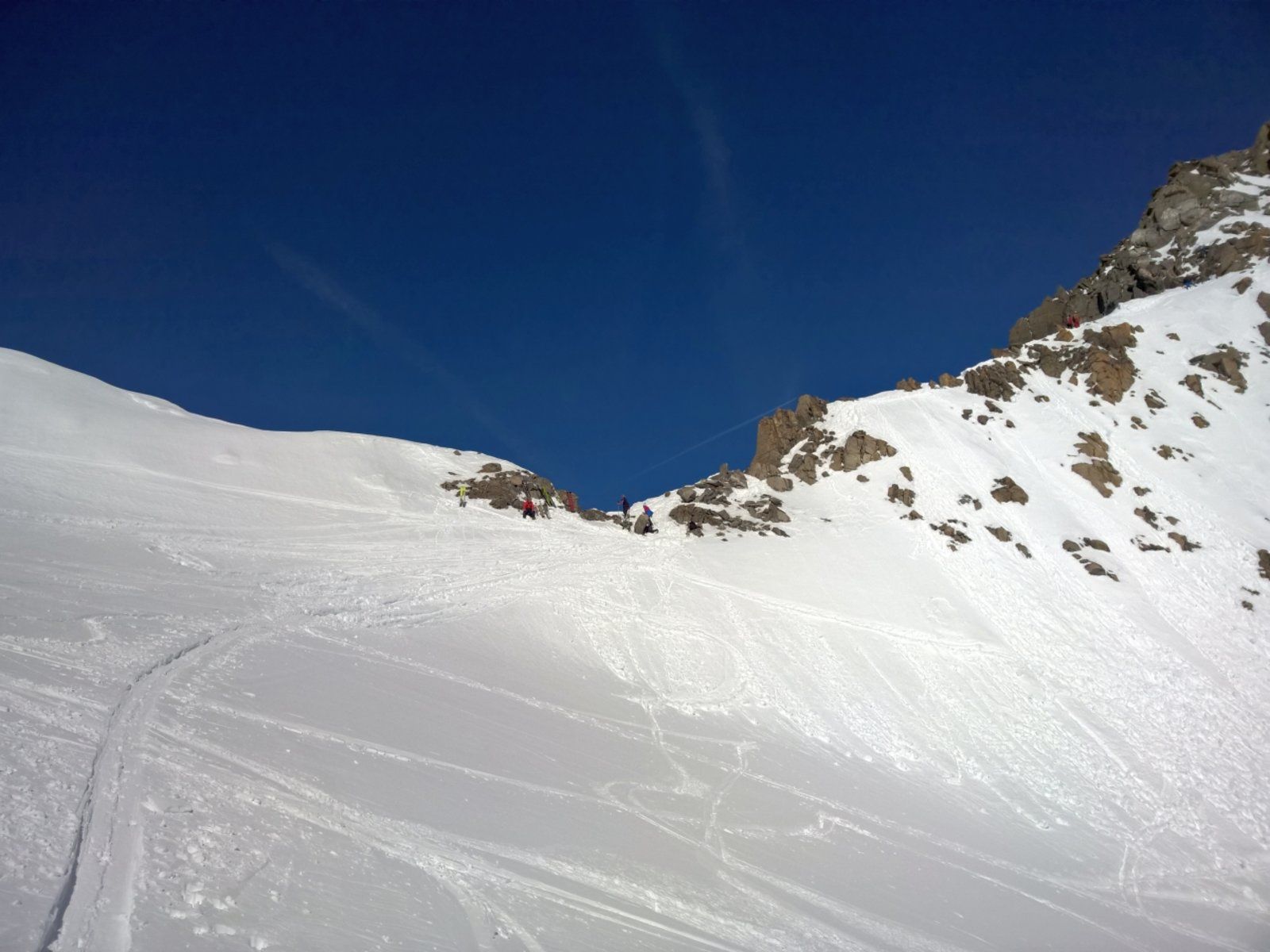
From here one climbs slightly up the Rotgratferner to the south ridge of the Fernerkogel. There ski depot.
Descent & Variants
Like ascent or as already mentioned, the southernmost of the gullies of Rotgratferner directly down. I went quite far east to catch the best snow. But then remember to draw back in time, as the area in the eastern part falls off into many steep ditches.
Maps
Alpenvereinskarte 31/2 Stubaier Alpen Sellrain 1 : 25 000 Topographische Karte
Photo Gallery
A selection of 10 photos from the tour:
Map and Avalanche Risk
[ASTRO_MAP_INFO_EN]
Image Gallery (10 Photos)
Show all 7 more photos
Slope Map
Tour Planning & Important Notes (OpenSlopeMap)
Tour Planning
You can plan and create your own tour directly in the map. The tour can then be downloaded as a GPX track.
Disclaimer
Every user of the map agrees to use the maps provided on OpenSlopeMap.org at their own responsibility and risk. OpenSlopeMap.org and its operators accept no responsibility for damages.
Map Explanation
- Slope inclinations are a very important criterion in avalanche risk management. However, slope inclination alone should never be the sole criterion!
- The resolution for Austria and South Tyrol is based on a digital terrain model (DTM) with 10m resolution. Outside these areas, accuracy is significantly lower.
- A map can only ever provide a limited view of real conditions.
Frequently Asked Questions
How difficult is this splitboard route?
The route is classified with difficulty level 303.
How many vertical meters does the tour include?
The ascent covers approximately 1620 vertical meters.
How long does the ascent take?
The tour takes around 5 hours.
Where does the route start?
The starting point of the tour is St. Sigmund im Sellrain.