Loesertalerkopf
Route Character
Tour to a remote peak of the Ammergau Alps. With intermediate ascent (recommended) or long and flat through the Saegertal (880hm). Beautiful north facing slopes up to 35°. High snow conditions required!
Starting Point & Village
Starting point: Parking at the entrance to the Saegertal Village: Ettal
Ascent & Route
From the car park, follow the path into the Saegertal ” Signpost Hochplatte” over a bridge. After a few metres you will reach a wood yard.
Here you have to decide, either turn left over a bridge and follow the route to Scheinbergspitze (option 1) or follow the road into the Saegertal (option 2). I have looked at both routes and have to say that option 1 is definitely the better choice.
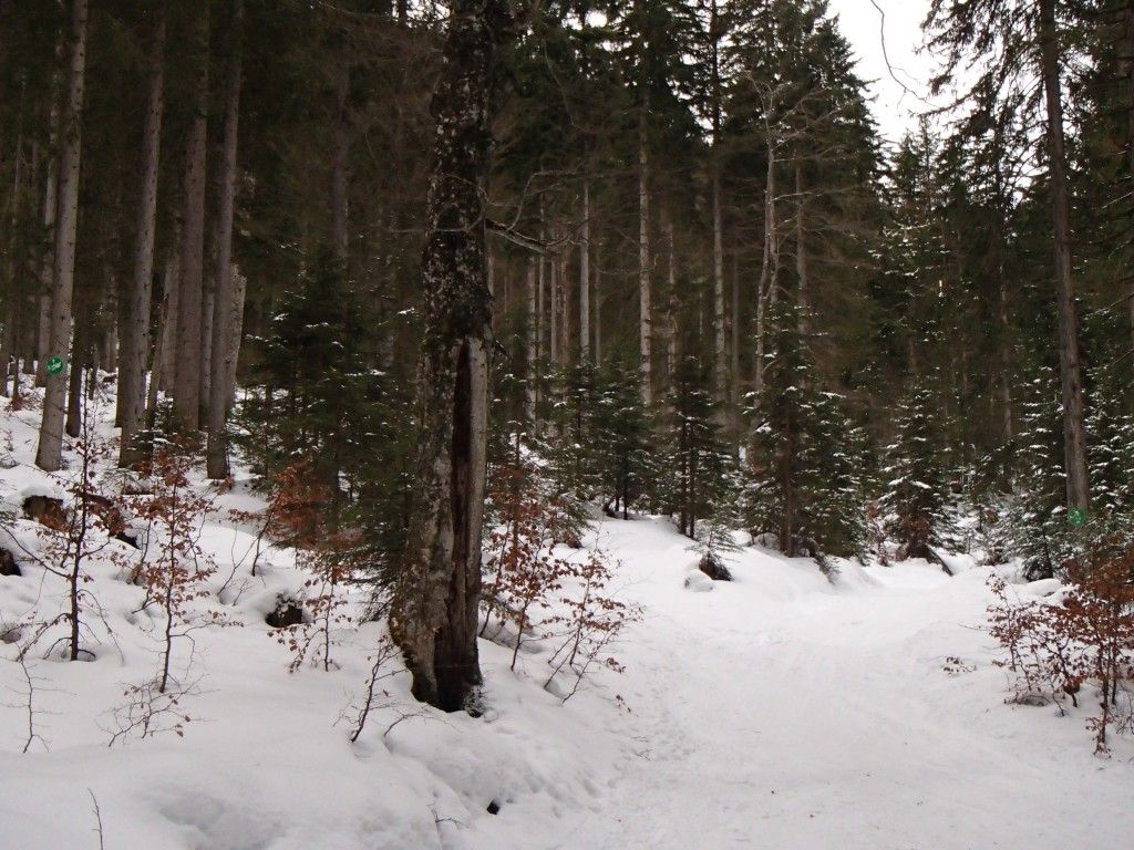
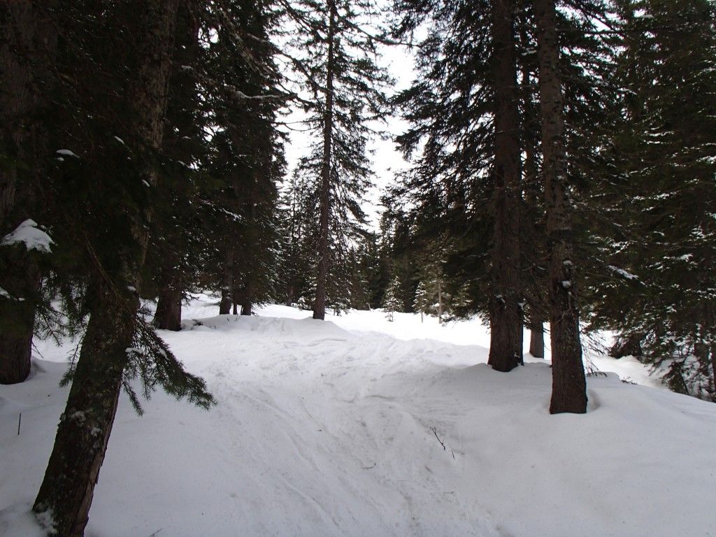
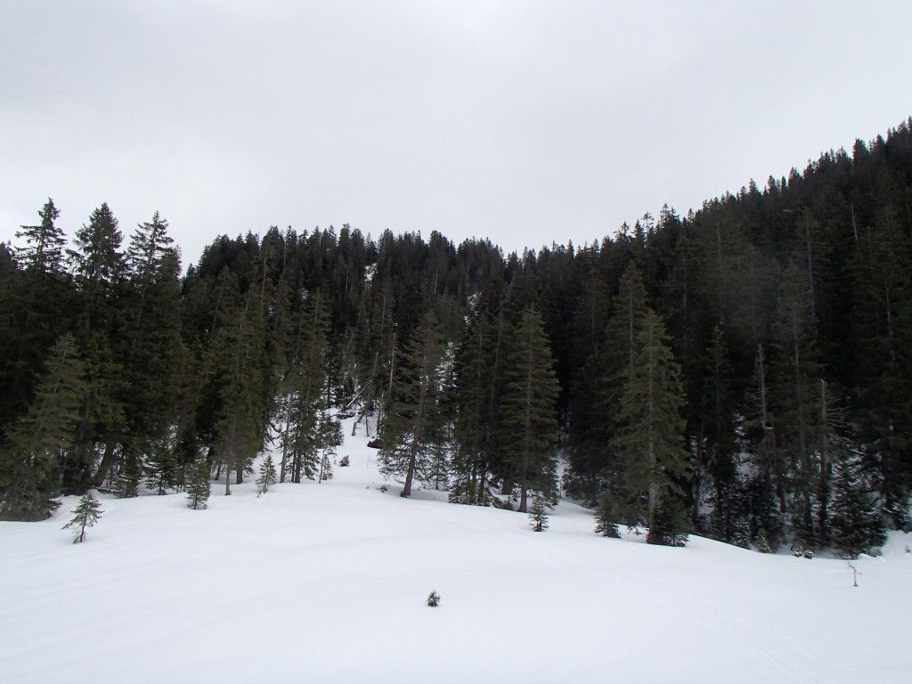
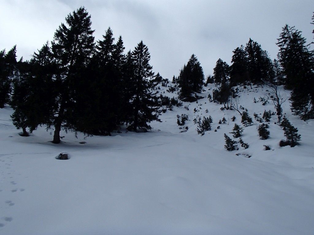
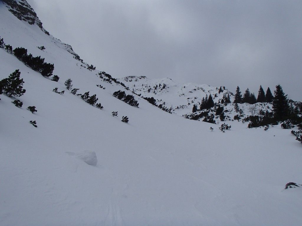
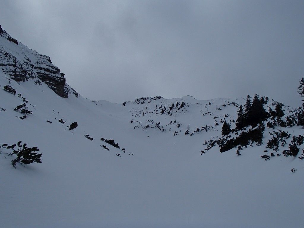
So you follow the path towards Scheinbergspitze in a pleasant ascent on a wide forest path. After the first few bends you have the possibility to take a left shortcut through the forest (DAV signpost). Both paths meet again. After crossing another stream (bridge) you reach another wood yard. At the end of the wood yard, a cart track branches off to the right, which we follow into the forest. After a few metres in altitude we reach the forking where the ascent to Scheinbergspitze (left) and its descent meet again (picture 1). We follow the descent route further up the Hundsfallgraben until we reach a small clearing (picture 2). At its end, behind a small belt of forest, we reach the intermediate descent. This leads steeply (35°) through a narrow and later wider forest aisle down into the Loesertalgraben (picture 3).
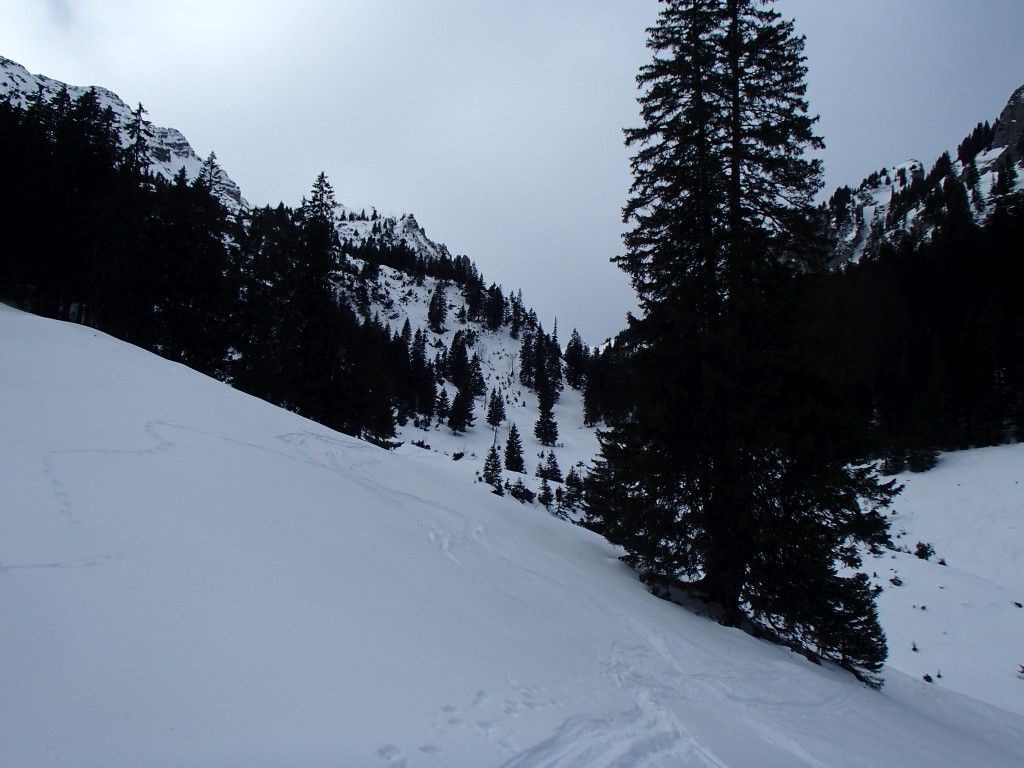
There the route meets the ascent through the Saegertal. Here it is time to ” skin up ” again and head up the first steep step (pictures 4 + 5). Here you can also see why a high snow level is pleasant, then you can really rush through there. For me it was rather “looking for a way”.
After overcoming the steep step, one reaches really open terrain (picture 6) and climbs the last meters through a hollow ( picture 7) in good conditions - be careful of the walls on the left side) or keeping right over a slightly overgrown flank to the summit
Descent & Variants
same as ascent - except for short cut through the forest, there follow the forest road
Maps
Ammergebirge West - Topographische Karte 1:25.000 (Alpenvereinskarte)
Photo Gallery
A selection of 7 photos from the tour:
Map and Avalanche Risk
[ASTRO_MAP_INFO_EN]
Image Gallery (7 Photos)
Show all 4 more photos
Slope Map
Tour Planning & Important Notes (OpenSlopeMap)
Tour Planning
You can plan and create your own tour directly in the map. The tour can then be downloaded as a GPX track.
Disclaimer
Every user of the map agrees to use the maps provided on OpenSlopeMap.org at their own responsibility and risk. OpenSlopeMap.org and its operators accept no responsibility for damages.
Map Explanation
- Slope inclinations are a very important criterion in avalanche risk management. However, slope inclination alone should never be the sole criterion!
- The resolution for Austria and South Tyrol is based on a digital terrain model (DTM) with 10m resolution. Outside these areas, accuracy is significantly lower.
- A map can only ever provide a limited view of real conditions.
Frequently Asked Questions
How difficult is this splitboard route?
The route is classified with difficulty level 3.
How many vertical meters does the tour include?
The ascent covers approximately 1250 vertical meters.
How long does the ascent take?
The tour takes around 3 hours.
Where does the route start?
The starting point of the tour is Ettal.