Lempersberg
Route Character
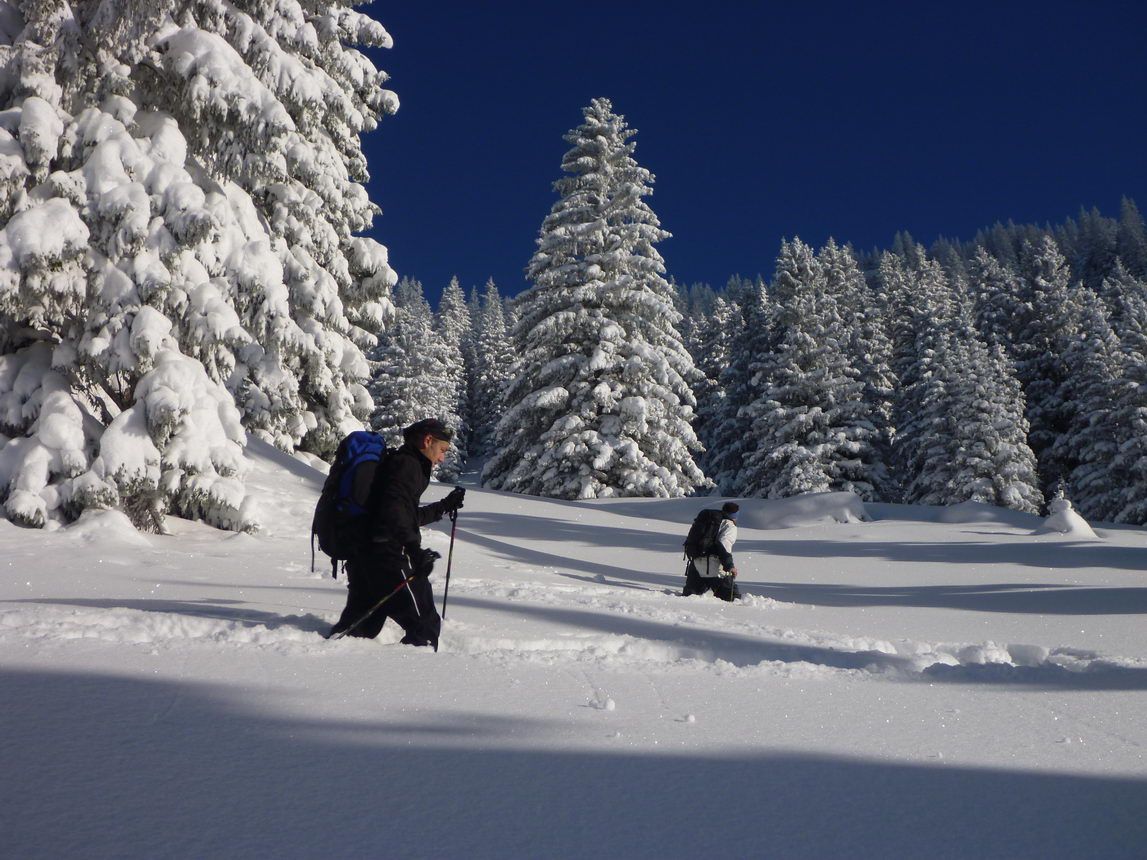
Simple short tour through gentle, wide forest clearings. Due to respect for wildlife protection without summit, nonetheless the climb is worthwile by beautiful views and perfect alpine slopes.
Starting Point & Village
Starting point:
Parking at the main parking area at the church (for a fee). From there by foot to the bridge and before the bridge at the Wurzhütte inn left onto Valepp Road (barrier).
Village: SpitzingseeAscent & Route
Pass the barrier and after about 100 meters on the Valepp road, half left up the paved road (No. 645, Berggasthof Igler Maxlraineralm). After nearly 30 minutes you'll reach the mountain rescue hut. Shortly after, turn right onto a path, on that we pass a bridge and turn left immediately after the bridge, continuing parallel to the road to a rising forrest clearing to the east. On this clearing we get to the bottom station of the Maxlrainer ski lift and cross the ski slope to far right of the southern slope.
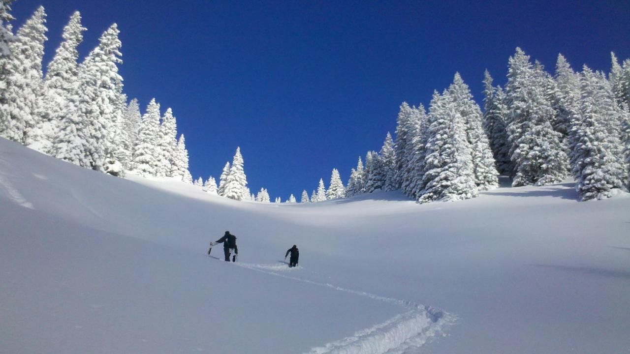
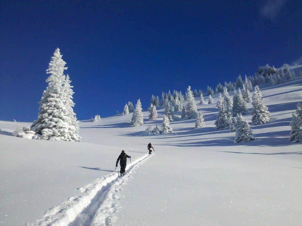
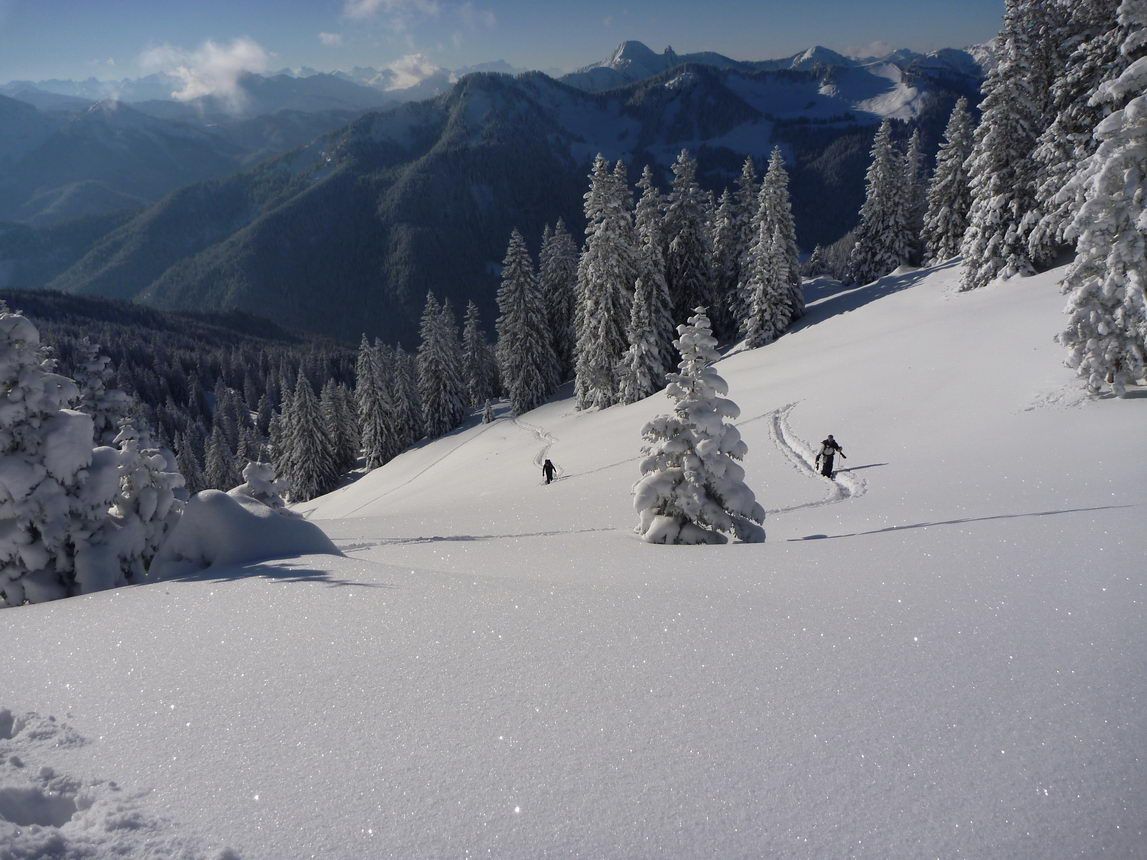
Approximately half the height of the ski lift, we recognize a clearing right below the rock on which we go over to the Lower Wallenburgeralm. Passing the alp on the left we ascend on the gorgeous wide northeaster clearing up to the saddle. Once at the top, the view opens to the east towards Wendelstein and Sudelfeld.
Right now we turn right and hike up the saddle a little bit, then we evasive a bit to the right into the slope till we reach a clearly discernible rock tower.
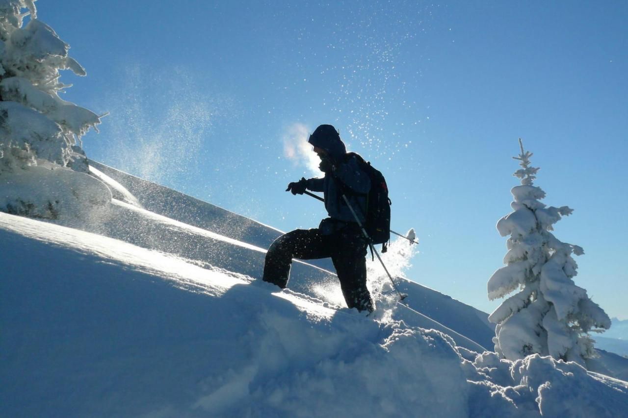
Here we end our tour for two reasons. First, one should not enter the crest for Wildlife protection reasons, secondly, the great slope down to our ascent route already is entirely in our midst. So we detach the skins of our splitboards or skis, have a snack, enjoy the views and there we go...
Descent & Variants
As ascent, at suitable snow conditions (not too much and not too little), the lower path to the starting point can be made without pushing or walking.
Variants:
At the valley station of the Maxlrainer lift we put on the skins again and hike to the top stationof the Taubensteinbahn. From here, either on / off the slopes to the valley station of the Taubensteinbahn or one expands the tour from here in direction to Jägerkamp or Aiplspitze.
Maps
DAV Bayerische Alpen 15 Mangfallgebirge Mitte 1 : 25 000: Spitzingsee, Rotwand. Wegmarkierung und Skirouten
Kompass: Bayrischzell, Schliersee: Wander-, Rad-, Skitourenkarte. 1:25.000
Photo Gallery
A selection of 6 photos from the tour:

Map and Avalanche Risk
[ASTRO_MAP_INFO_EN]
Image Gallery (6 Photos)
Show all 3 more photos
Slope Map
Tour Planning & Important Notes (OpenSlopeMap)
Tour Planning
You can plan and create your own tour directly in the map. The tour can then be downloaded as a GPX track.
Disclaimer
Every user of the map agrees to use the maps provided on OpenSlopeMap.org at their own responsibility and risk. OpenSlopeMap.org and its operators accept no responsibility for damages.
Map Explanation
- Slope inclinations are a very important criterion in avalanche risk management. However, slope inclination alone should never be the sole criterion!
- The resolution for Austria and South Tyrol is based on a digital terrain model (DTM) with 10m resolution. Outside these areas, accuracy is significantly lower.
- A map can only ever provide a limited view of real conditions.
Frequently Asked Questions
How difficult is this splitboard route?
The route is classified with difficulty level 2.
How many vertical meters does the tour include?
The ascent covers approximately 670 vertical meters.
How long does the ascent take?
The tour takes around 2 hours.
Where does the route start?
The starting point of the tour is Spitzingsee.