Largoz North-West
Route Character
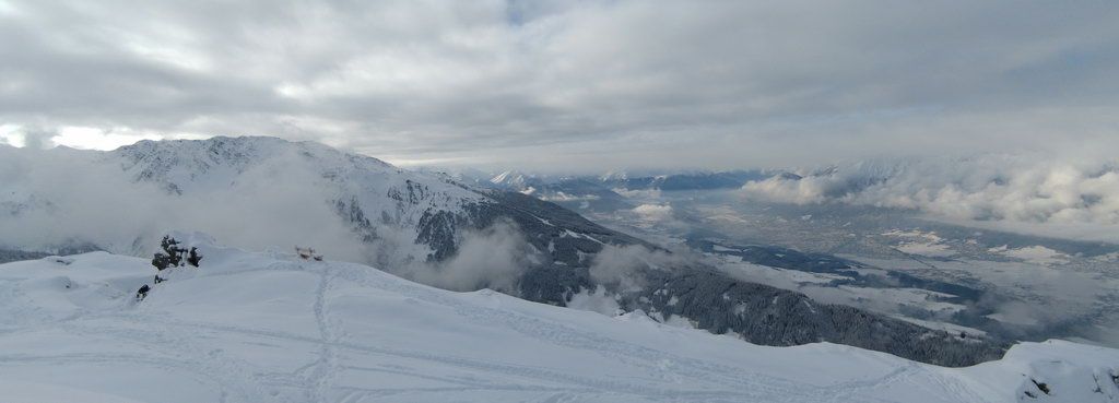
Beautiful splitboard / backcountry route, situated mainly in the forrest. Great panoramic views from the summit.
Starting Point & Village
Starting point: Is a small path above the Krepperhütte Village: Volders
Ascent & Route
Normal ascent route (North-West):
The splitboards / ski touring skis under our feet, we walk either along the forest rorad or directly uphill through the forest , crossing the forest road again and again and get to Largozalm. Shortly after the alp we pass a mountain village, we hike up on a ridge and then continue through hilly (small depressions and escarpments) splitboard / backcountry area, south-east to the summit.
There is a variant (Largoz North) here we start at Vöglesberg (approx 900m). First, through the woods to the south-west at about 1400m we are taking a slight curve towards the south-east and reach after a good hour walking the Schönrast hunting lodge at 1569m. Here we allow ourselves at very chilly days a cup of tea and then comfortably continue in a path to the free splitboard / backcountry terrain. At approximately 1800 m, we deviate temporarily avalanche-exposed sections and once again go into the forest. Winning height, we then proceed south-west and then up to the summit slope. Once on the back of the Largoz we go a few meters further to the south reaching the summit.
Descent & Variants
We will have a tea or two, mount our splitboard / backcountry equipment and ride down the same way as ascending. Shure we check for untouched powder. On good days you can ride down till the bottom of the valley, but to be honest we did not do it yet, because you have to get your car afterwards.
Maps
Kompass Karte WK36: Innsbruck, Brenner: Wandern / Rad / Skitouren. 1:50.000
Alpenvereinskarte 31/5 Innsbruck und Umgebung 1 : 50 000 Topographische Karte
Photo Gallery
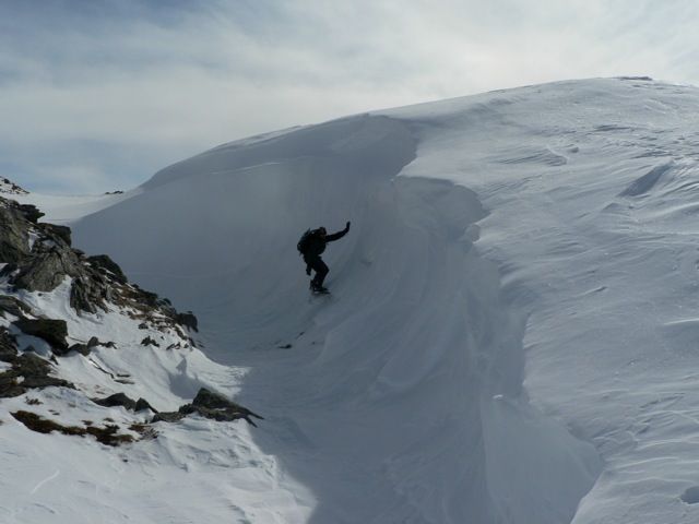
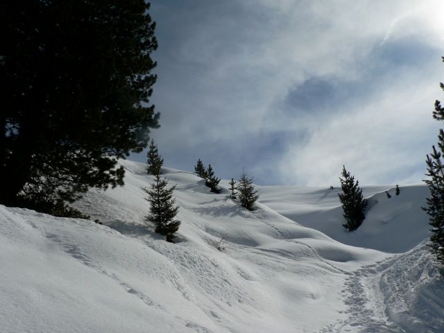
A selection of 4 photos from the tour:
Map and Avalanche Risk
[ASTRO_MAP_INFO_EN]
Image Gallery (4 Photos)
Show all 1 more photos
Slope Map
Tour Planning & Important Notes (OpenSlopeMap)
Tour Planning
You can plan and create your own tour directly in the map. The tour can then be downloaded as a GPX track.
Disclaimer
Every user of the map agrees to use the maps provided on OpenSlopeMap.org at their own responsibility and risk. OpenSlopeMap.org and its operators accept no responsibility for damages.
Map Explanation
- Slope inclinations are a very important criterion in avalanche risk management. However, slope inclination alone should never be the sole criterion!
- The resolution for Austria and South Tyrol is based on a digital terrain model (DTM) with 10m resolution. Outside these areas, accuracy is significantly lower.
- A map can only ever provide a limited view of real conditions.
Frequently Asked Questions
How difficult is this splitboard route?
The route is classified with difficulty level 2.
How many vertical meters does the tour include?
The ascent covers approximately 886 vertical meters.
How long does the ascent take?
The tour takes around 2.5 hours.
Where does the route start?
The starting point of the tour is Volders.