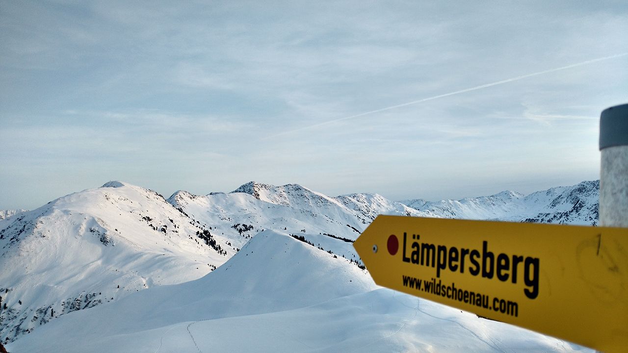
Laempersberg
Route Character
This tour cannot be considered an insider’s tip. On the summit and the way there you will meet many ski tourers. Nevertheless, this easy split-board trip to the Lämpersberg in the Alpbachtal valley offers numerous downhill options. Despite the popularity of the summit, you can easily find untouched terrain. The ascent is possible with or without lift support.
Starting Point & Village
Starting point: Park at the lift station Pöglbahn / Schatzberg in Inneralpbach. Village: Alpbach
Ascent & Route
With lift assistance, this tour can also be done twice a day with different descents.
Option 1 - with lift support
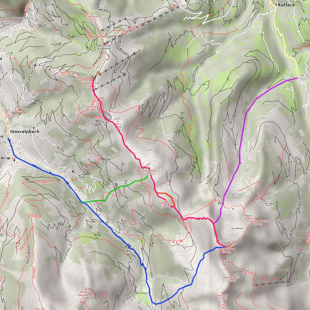
Take the gondola going to Wildschönau to Schatzberg. Go or ride from the Schatzberg to the chairlift, the summit lift. From there, ride southwards for a short while and then at the reservoir on the right side of the slope, the first change into hike mode. Easy ascent, about 50 metres past the first hill, the Gern. Afterwards approx. 50 m downhill run into the Sternboden. This easy downhill run can also be mastered by inexperienced skiers in ski mode. After that, easy 150 m ascent to the first smaller peak, the Joelspitze (1964 m). From there a short descent to the foot of the Saupanzen. If you don’t want to climb the 70 hm, you can avoid this short hill, otherwise you can still work on your own downhill technique in split ski mode from the top of the Saupanzen (1957 m). Finally we reach steeper terrain for the ascent of the Lämpersberg. After a good hour and 380 meters of altitude difference we reach the summit. In the map it is the pink route.
Option 2 - without lift support
Without lift support it is 1000 vertical meters to the Lämpersberg. From Inneralpbach (1000 m) you follow the path along the cross-country ski trail. Pass a car park and follow the toboggan run southeastwards. After 4.5 km from the starting point, at an altitude of 1350 m above sea level, we leave the valley and ascend in an easterly direction up the way to the hunting lodge. From there we continue through the forest to the Feldalm at 1800 m. We continue northwards until we reach the ridge from the summit. From there continue as described in option 1. Follow the map along the blue route.
Descent & Variants
Option 1 - descent towards Wildschönau
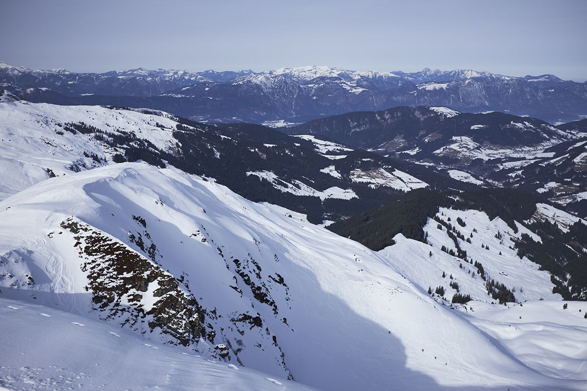
From the summit you can see several short, extremely steep gullies in northeastern exposure, which can be ridden in when the avalanche is suitable. If the conditions are too tricky, the short steep section can be bypassed further north. We follow the descent further in northeastern direction. From the first plateau at approx. 1900m we can already see the Hönigkaseralm. We continue downhill until we reach the main road. From there it is a 5km walk to Auffach, where we take the gondola back to the Schatzberg. If you don’t want to climb the 1000m to the Schatzberg, you should plan enough time for the last ascent, you can catch the last ride at 4 pm. With a bit of luck, the route can also be shortened by hitchhiking. On nice days the road to Auffach is often used and one or the other ski tourer will take you to the gondola. In the map, this variant is shown in purple.
Option 2 - Downhill towards Alpbachtal valley
From Lämpersberg we ride over open terrain in southwest direction until we reach the first flat part at approx. 1900 m. There we convert our boards in order to escape the flat part and stay south. As soon as we have left the flat section, we continue our ride southwest and follow the open slopes. The forest areas should be avoided. In the valley, you can take a road, which is also used as a toboggan run. Follow this road until you reach Inneralpbach again. If the snow conditions are good, you can easily come back to Inneralpbach, if necessary have poles ready! In the map you follow route blue.
Option 3 - Descent from Joelspitze in the direction of Alpbachtal
From Joelspitze over open terrain in southwest direction into the valley. At 1750 m above sea level, a gorge is formed which divides the slope into two zones. There you should orientate yourself towards Riders Left, otherwise you will reach dense forest terrain and have to cross the gorge further down by foot. On the bottom you can see a small parking lot where the toboggan run passes. Follow the toboggan run as in option 2, marked green on the map.
For a day trip, you can first choose option 1 and for the end, you can choose options 2 or 3, depending on the time and energy reserves. At sunset and when the hustle and bustle in the ski area is already over, these two options are particularly worthwhile!
Maps
Alpenvereinskarte 34/1 Kitzbüheler Alpen West 1:50000
Photo Gallery
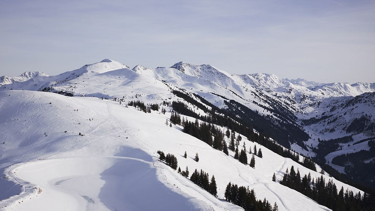
A selection of 5 photos from the tour:
Map and Avalanche Risk
[ASTRO_MAP_INFO_EN]
Image Gallery (5 Photos)
Show all 2 more photos
Slope Map
Tour Planning & Important Notes (OpenSlopeMap)
Tour Planning
You can plan and create your own tour directly in the map. The tour can then be downloaded as a GPX track.
Disclaimer
Every user of the map agrees to use the maps provided on OpenSlopeMap.org at their own responsibility and risk. OpenSlopeMap.org and its operators accept no responsibility for damages.
Map Explanation
- Slope inclinations are a very important criterion in avalanche risk management. However, slope inclination alone should never be the sole criterion!
- The resolution for Austria and South Tyrol is based on a digital terrain model (DTM) with 10m resolution. Outside these areas, accuracy is significantly lower.
- A map can only ever provide a limited view of real conditions.
Frequently Asked Questions
How difficult is this splitboard route?
The route is classified with difficulty level 3.
How many vertical meters does the tour include?
The ascent covers approximately 600 vertical meters.
How long does the ascent take?
The tour takes around 3 hours.
Where does the route start?
The starting point of the tour is Alpbach.