Kleiner Oetscher - Riffelsattel
Route Character
Comfy tour as season opener or as altitude eater in the evenings! In the steep part of the Riffelabfahrt you can test the adhesion of your skins in ascent.
Starting Point & Village
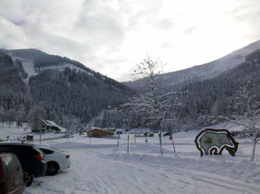
Starting point: Parking at the valley station of the 2 persons chairlift “Zum großen Oetscher”. Village: Lackenhof am Ötscher
Ascent & Route
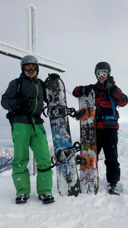
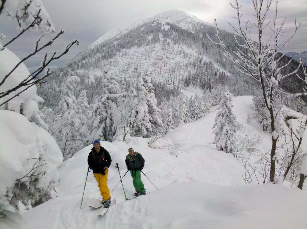
The ascent starts over the slopes of the Riffel descent. Here you should be early enough not to be on track while lifts are operating. In the steep part of the descent you can check the adhesion of your skins. After the steepest part the of the slope branches in 90 ° bend to the left into a logging road. Here you can choose - Continue to the left to get to the managed Oetscher mountain shelter and can go on to the big Oetscher. (here you will find beautiful steep gully slopes). Right along the ridge we continue to the small Oetscher. Always following the beautiful hilly ridge to to reach the summit cross of the small Oetscher in about 45 minutes.
Descent & Variants
At safe conditions and especially when there is enough snow you can enter in the North side ditch. Do not come too far to the left here. Keep to the right – after the tree line - in rather precarious conditions among the trees where you can also ride very well. At the flat part of the Riffel descent you come back to slope and to the car.
Alternative 2 - one rides down the ridge on the opposite side of the ascent for a few meters and comes to the summit station of the lift on the Kleine Oetscher. From here you can go safely on the slopes to the parking lot. TIP: if things are quite insecure – also at the slopes you will find some meters between the pist and the forest which are not prepared. If you are early enough you will get a few powder turns.
Photo Gallery
A selection of 3 photos from the tour:
Map and Avalanche Risk
[ASTRO_MAP_INFO_EN]
Image Gallery (3 Photos)
Slope Map
Tour Planning & Important Notes (OpenSlopeMap)
Tour Planning
You can plan and create your own tour directly in the map. The tour can then be downloaded as a GPX track.
Disclaimer
Every user of the map agrees to use the maps provided on OpenSlopeMap.org at their own responsibility and risk. OpenSlopeMap.org and its operators accept no responsibility for damages.
Map Explanation
- Slope inclinations are a very important criterion in avalanche risk management. However, slope inclination alone should never be the sole criterion!
- The resolution for Austria and South Tyrol is based on a digital terrain model (DTM) with 10m resolution. Outside these areas, accuracy is significantly lower.
- A map can only ever provide a limited view of real conditions.
Frequently Asked Questions
How difficult is this splitboard route?
The route is classified with difficulty level 3.
How many vertical meters does the tour include?
The ascent covers approximately 800 vertical meters.
How long does the ascent take?
The tour takes around 2 hours.
Where does the route start?
The starting point of the tour is Lackenhof am Ötscher.