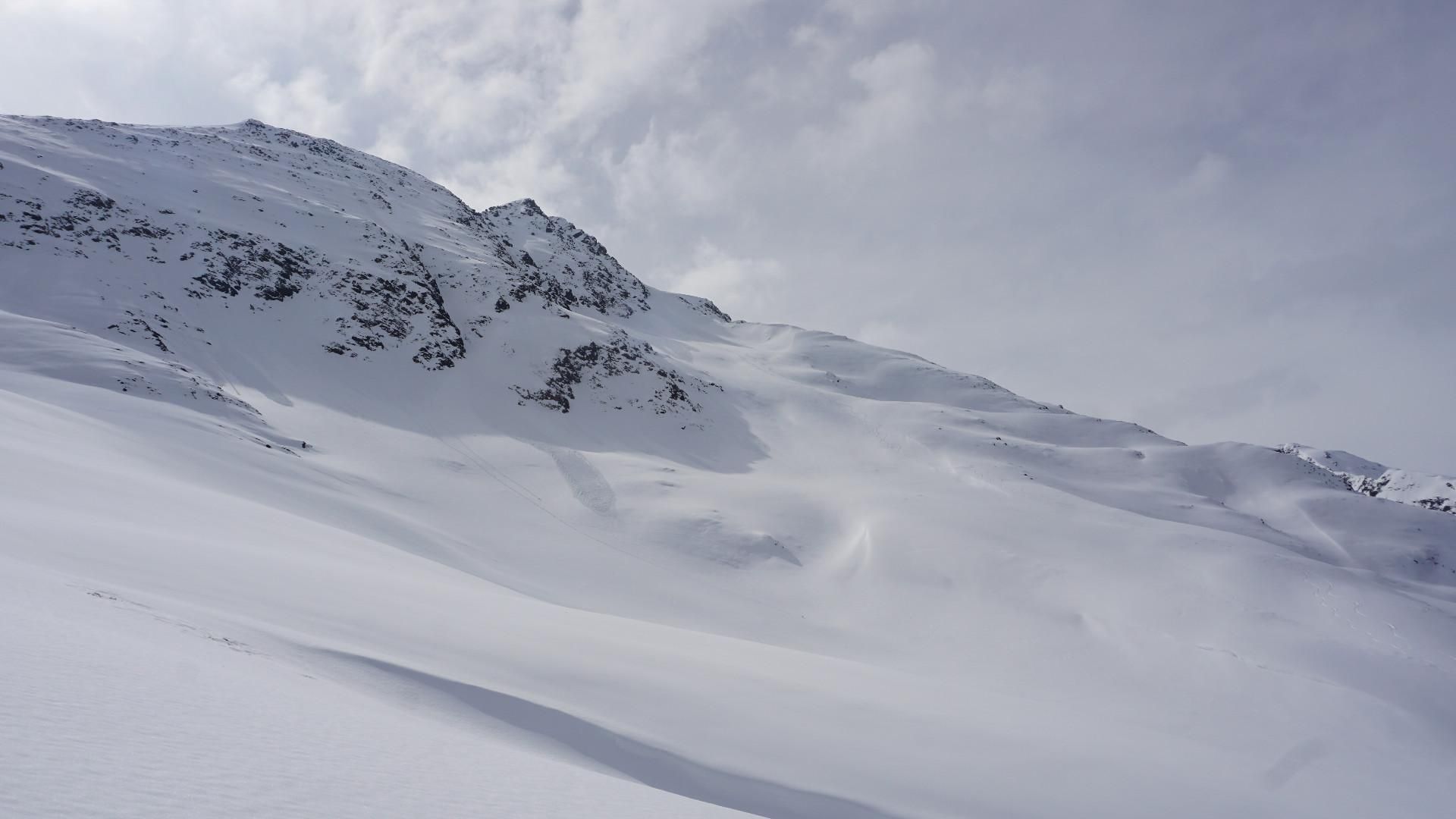
Kleine Sulzspitze
Route Character
The Arlberg is not exactly known for untouched splitboarding terrain, off the beaten track. However, there are exceptions. One of them is this 1200 vertical meters long tour, which leads to the NW slopes below the Kleine Sulzspitze. The tour, which is exclusively oriented to the northwest, requires safe conditions, the access in the lower sector leads through very steep terrain.
Starting Point & Village
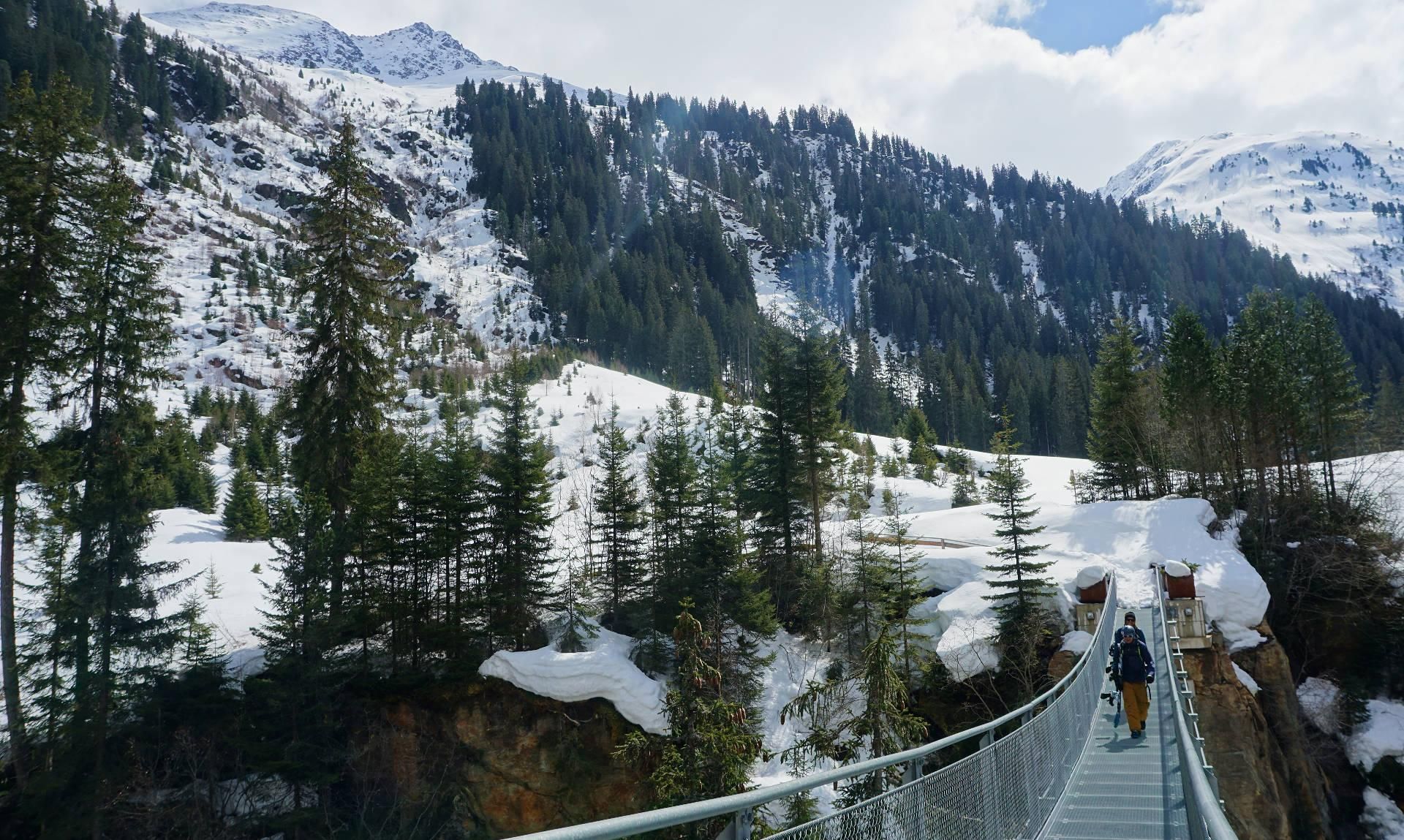
Starting point: St. Anton, Verwallweg, at the starting point of the cross-country skiing trail. Follow the trail for about 2.2 km. It leads over slight ups and downs, through a small tunnel, past a heliport. Shortly before the cross-country ski run crosses the adjacent road, leave the cross-country ski run and ride into the ravine to the wooden bridge. From the wooden bridge the actual tour begins. Village: St. Anton am Arlberg
Ascent & Route
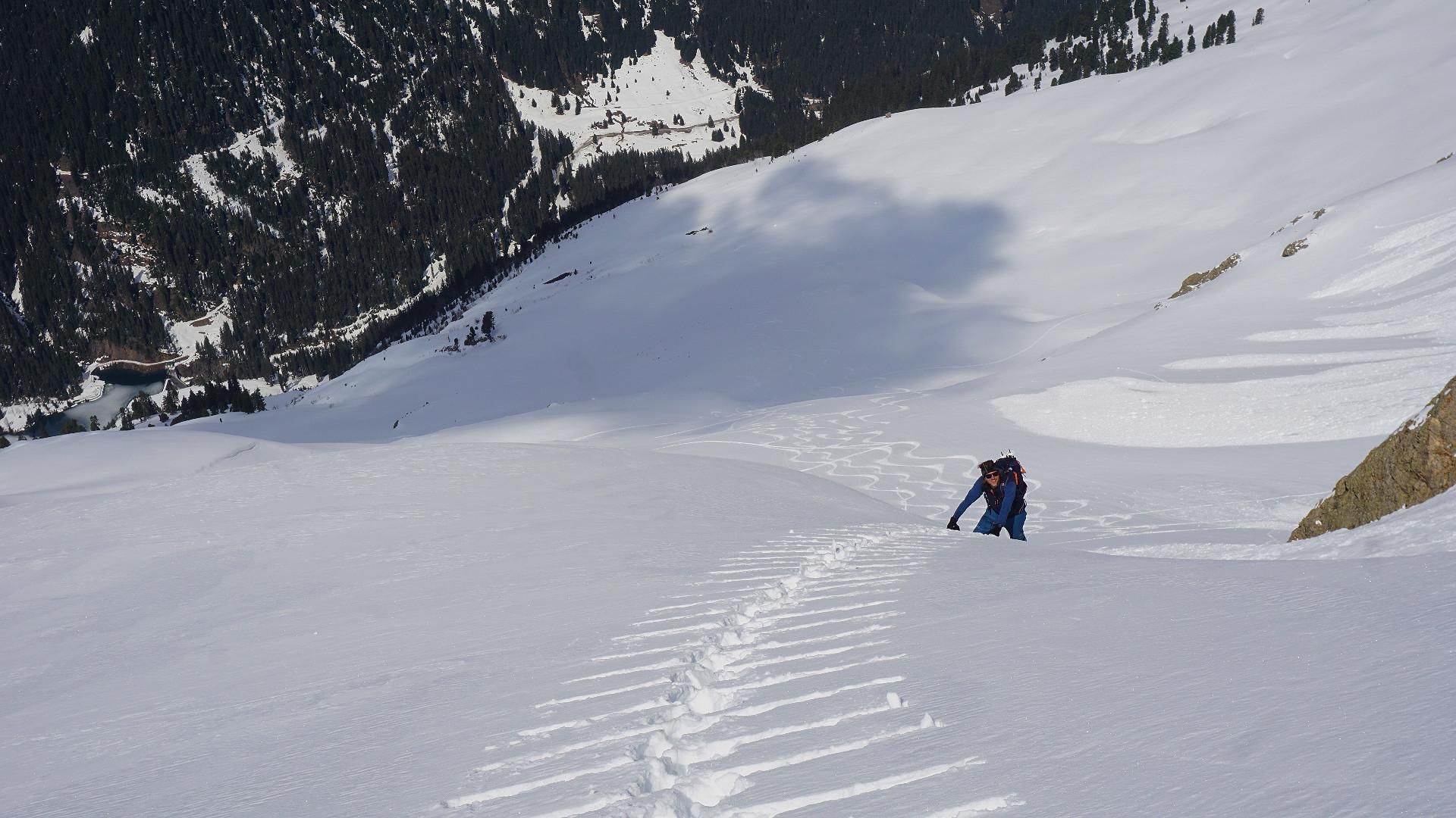
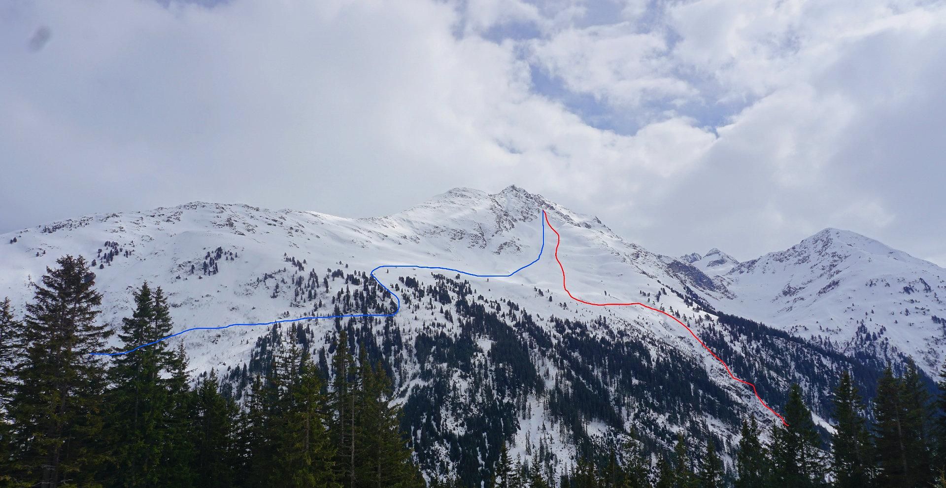
Follow the path till the forest opens. From there over open slopes of the Tanunalpe towards a small cabin. You don’t have to go all the way to the hut, instead you keep to the west of it. At an elevation of about 1750m you traverse the very steep slope in a southwesterly direction. This traverse requires safe conditions and is at the same time the crux of the whole tour. During our ascent, days before wet slides unloaded over large parts of the slope. After the crossing one climbs a little up to the last group of trees, from there you have a great view of the summit slope. Through the open terrain up to the plateau, the last vertical meters become very steep again.
Descent & Variants
From the plateau ride down directly the slope to an elevation of approx. 2170m and then keep left. Then, you will see a gorge that cuts deeper and deeper. Keep left of the gore and ride down till you reach the Verwallsee. Below the lake, walk over a steel bridge and take a short cross-country ski run to Rasthaus Verwall. There, a snack is definitely delicious, but here, one has to keep discipline and plan enough cash reserves for the bus trip. Take the bus with a full stomach (ticket 4 EUR, season 18/19), which leaves every 20 minutes in the afternoon and that brings you directly to the parking lot.
Maps
3/2 Lechtaler Alpen, Arlberggebiet 1:25000
Photo Gallery
A selection of 4 photos from the tour:
Map and Avalanche Risk
[ASTRO_MAP_INFO_EN]
Image Gallery (4 Photos)
Show all 1 more photos
Slope Map
Tour Planning & Important Notes (OpenSlopeMap)
Tour Planning
You can plan and create your own tour directly in the map. The tour can then be downloaded as a GPX track.
Disclaimer
Every user of the map agrees to use the maps provided on OpenSlopeMap.org at their own responsibility and risk. OpenSlopeMap.org and its operators accept no responsibility for damages.
Map Explanation
- Slope inclinations are a very important criterion in avalanche risk management. However, slope inclination alone should never be the sole criterion!
- The resolution for Austria and South Tyrol is based on a digital terrain model (DTM) with 10m resolution. Outside these areas, accuracy is significantly lower.
- A map can only ever provide a limited view of real conditions.
Frequently Asked Questions
How difficult is this splitboard route?
The route is classified with difficulty level 4.
How many vertical meters does the tour include?
The ascent covers approximately 1200 vertical meters.
How long does the ascent take?
The tour takes around 4 hours.
Where does the route start?
The starting point of the tour is St. Anton am Arlberg.