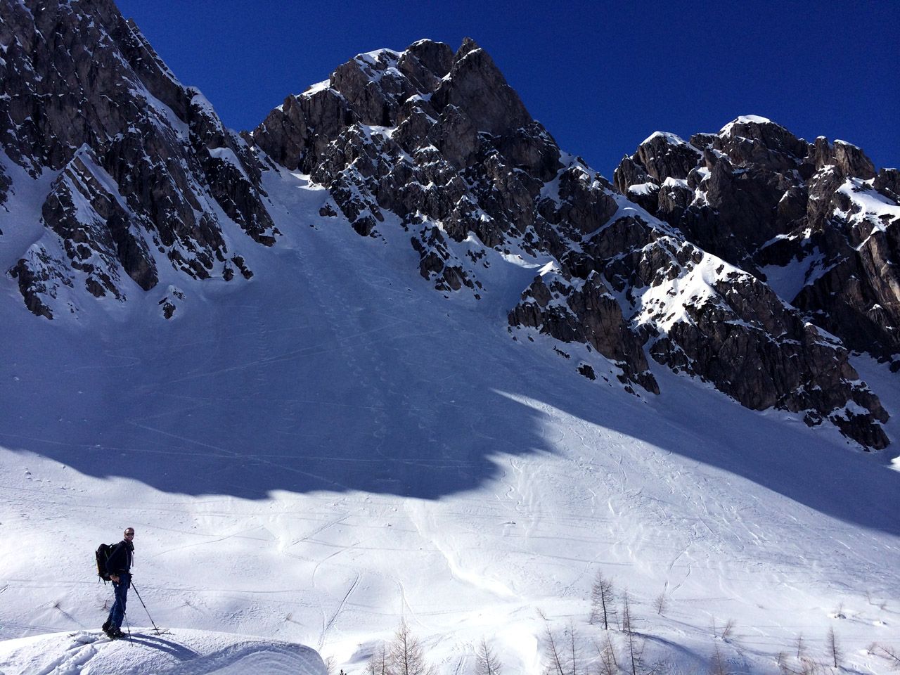
Karlsbader Hut - Dolomitenhuette
Route Character
Relaxed route to the hut with fantastic panorama.
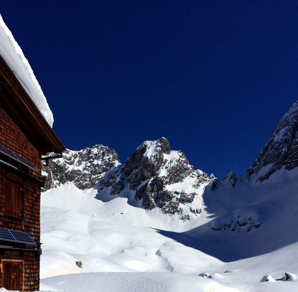
Startingpoint - Dolomitenhütte ist worth a visit and maybe one of the best located huts in the Lienzer Dolomiten. One or more nights at the hut is recommended because it is a great place to start touring to many destinations. Eg. Schartenschartl-Dolomitenhütte
Starting Point & Village
Starting point: Startingpoint is the Dolomitenhütte, except yu ascent from the Kreithof. Village: Lienz
Ascent & Route
The ascent goes along the trekking path up to the Karlsbader hut or you follow the “Kar” direction South. After the first steeper section you will see the Karlsbader Hut behind some little hills. Now you just follow your eyes and ascent through the hills up to the hut.
http://www.dav-karlsbad.de/karlsbader-hutte
From here you can find different options for touring.
Descent & Variants
Descent, beside the ascent tracks.
Maps
Kompass Lienzer Dolomiten / Lesachtal 47
Photo Gallery
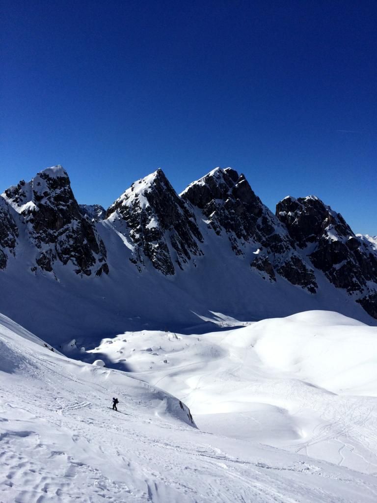
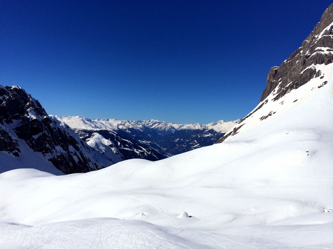
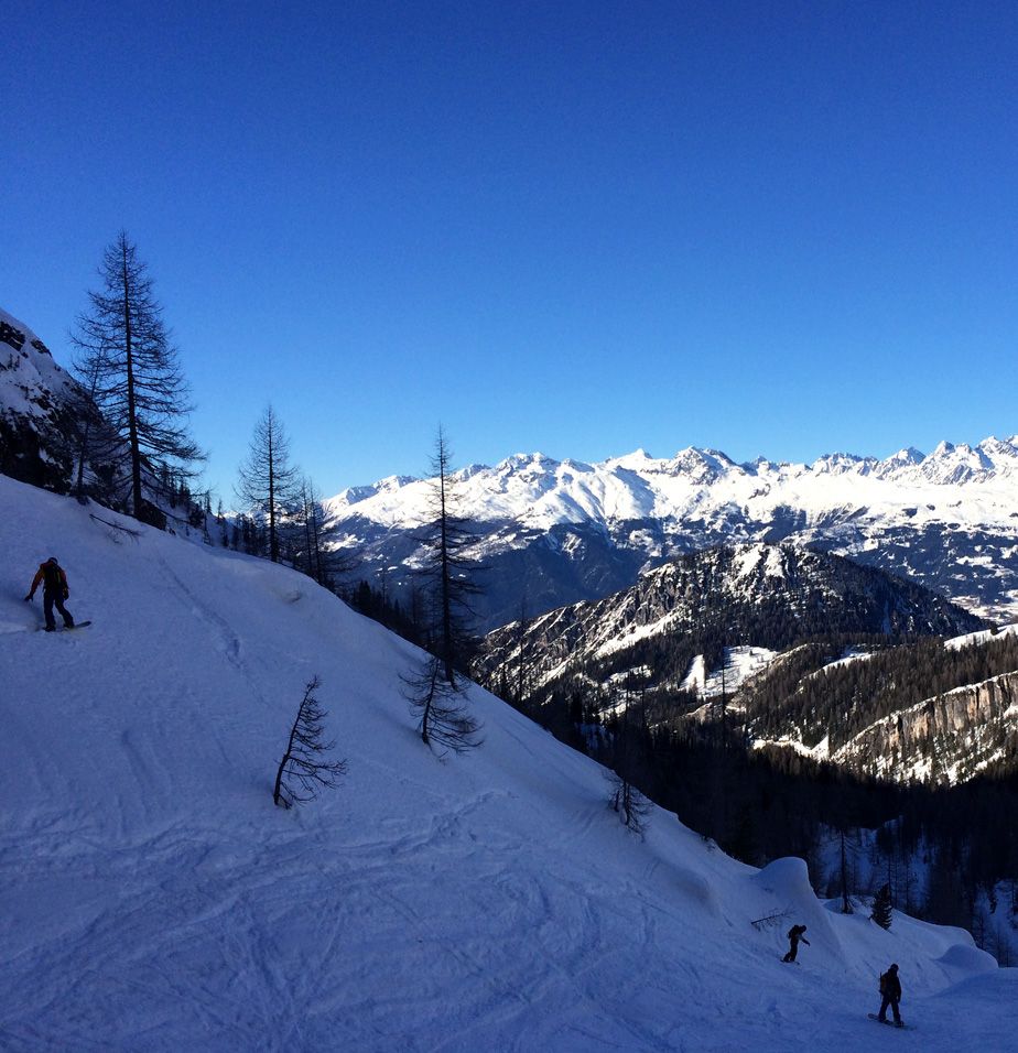
A selection of 5 photos from the tour:
Map and Avalanche Risk
[ASTRO_MAP_INFO_EN]
Image Gallery (5 Photos)
Show all 2 more photos
Slope Map
Tour Planning & Important Notes (OpenSlopeMap)
Tour Planning
You can plan and create your own tour directly in the map. The tour can then be downloaded as a GPX track.
Disclaimer
Every user of the map agrees to use the maps provided on OpenSlopeMap.org at their own responsibility and risk. OpenSlopeMap.org and its operators accept no responsibility for damages.
Map Explanation
- Slope inclinations are a very important criterion in avalanche risk management. However, slope inclination alone should never be the sole criterion!
- The resolution for Austria and South Tyrol is based on a digital terrain model (DTM) with 10m resolution. Outside these areas, accuracy is significantly lower.
- A map can only ever provide a limited view of real conditions.
Frequently Asked Questions
How difficult is this splitboard route?
The route is classified with difficulty level 2.
How many vertical meters does the tour include?
The ascent covers approximately 700 vertical meters.
How long does the ascent take?
The tour takes around 1.75 hours.
Where does the route start?
The starting point of the tour is Lienz.