Karleck
Route Character
Great Tour as a Season Starter or to check out new equipment! From the Bosruckhütte ambitious goals like Scheiblingstein or Gr. Pyhrgas can be reached!
PS: At the Bosruckhütte you can find the best roast pork far and wide!
Starting Point & Village
Starting point: Ski tourer parking in front of the gate of Bosruckhütte Village: Spital am Pyhrn
Ascent & Route
Starting point is the (also in winter) managed Bosruckhütte. Even from the parking lot you can see the imposing peaks of the Bosruck. Our target is the Karleck, which lies left of it. From the hut follow either the street - or better, take the hillside in front of you. Follow the mostly well tracked path in switchbacks until you meet the summer road shortly below the beginning of the woods. Follow the road for several hundred meters up to a group of private cabins. Passing the huts to their left side you make your way to the mostly blew off “Schredlsattel”. From there follow the always well tracked path while traversing the forest.
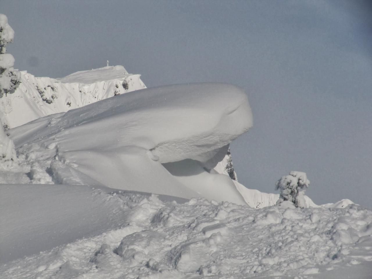
In several steep switchbacks you work your way up the summit slope. Now only a short hike along the ridge separates you from !! ATTENTION TO CORNICES !! the stunning views at the top.
Descent & Variants
Descent as ascent – or walk a little further over the ridge and go down into the couloir after the mountain pines and rocks. Especially the summit and the final slope at the Bosrückhütte are a pleasure when there is a lot of snow. Avalanche danger exists here seldom if ever.
Photo Gallery
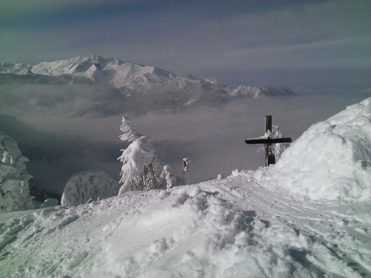
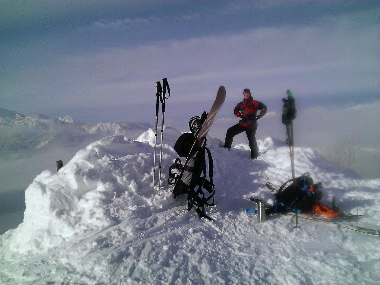
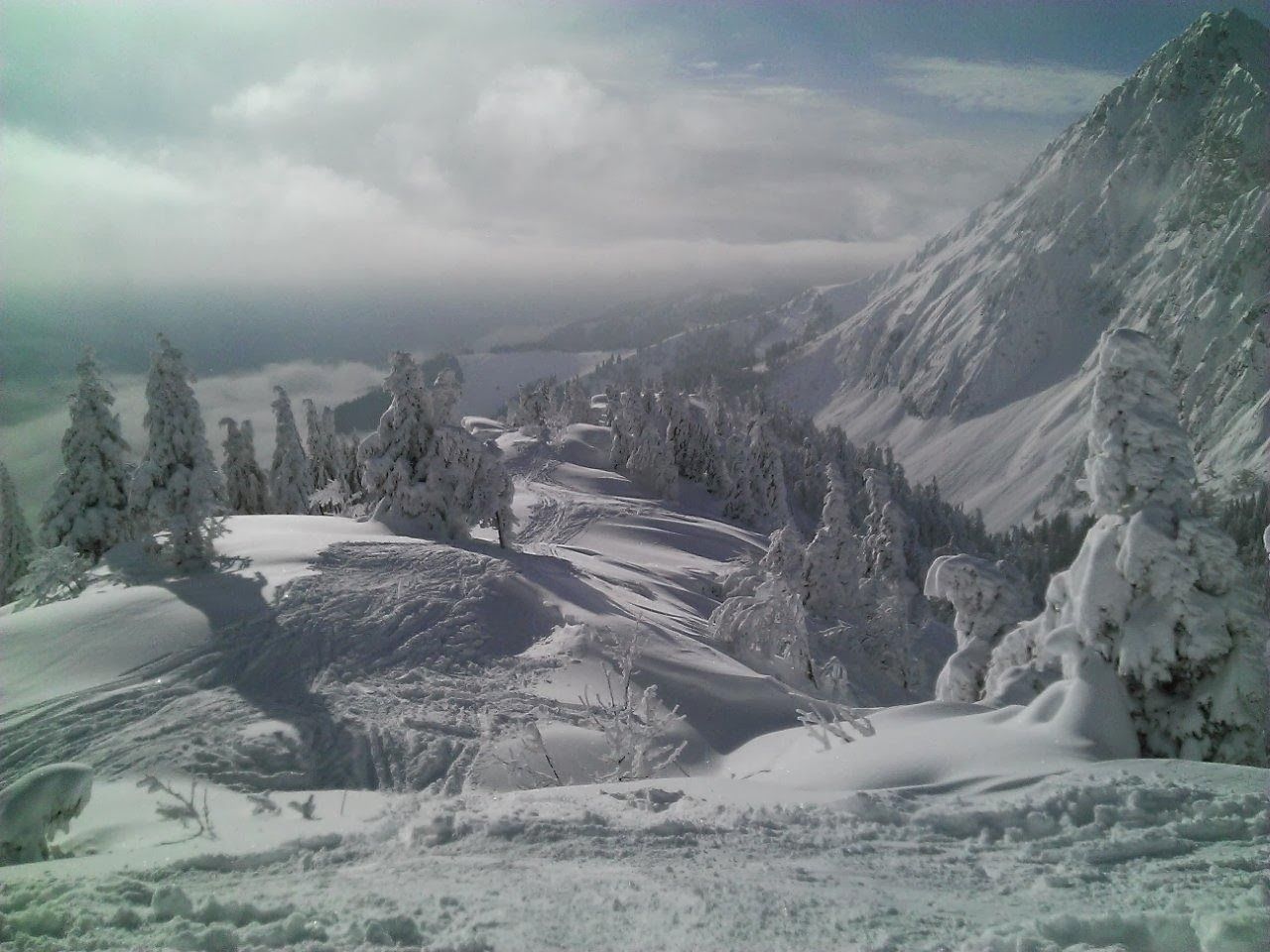
A selection of 4 photos from the tour:
Map and Avalanche Risk
[ASTRO_MAP_INFO_EN]
Image Gallery (4 Photos)
Show all 1 more photos
Slope Map
Tour Planning & Important Notes (OpenSlopeMap)
Tour Planning
You can plan and create your own tour directly in the map. The tour can then be downloaded as a GPX track.
Disclaimer
Every user of the map agrees to use the maps provided on OpenSlopeMap.org at their own responsibility and risk. OpenSlopeMap.org and its operators accept no responsibility for damages.
Map Explanation
- Slope inclinations are a very important criterion in avalanche risk management. However, slope inclination alone should never be the sole criterion!
- The resolution for Austria and South Tyrol is based on a digital terrain model (DTM) with 10m resolution. Outside these areas, accuracy is significantly lower.
- A map can only ever provide a limited view of real conditions.
Frequently Asked Questions
How difficult is this splitboard route?
The route is classified with difficulty level 2.
How many vertical meters does the tour include?
The ascent covers approximately 500 vertical meters.
How long does the ascent take?
The tour takes around 1.75 hours.
Where does the route start?
The starting point of the tour is Spital am Pyhrn.