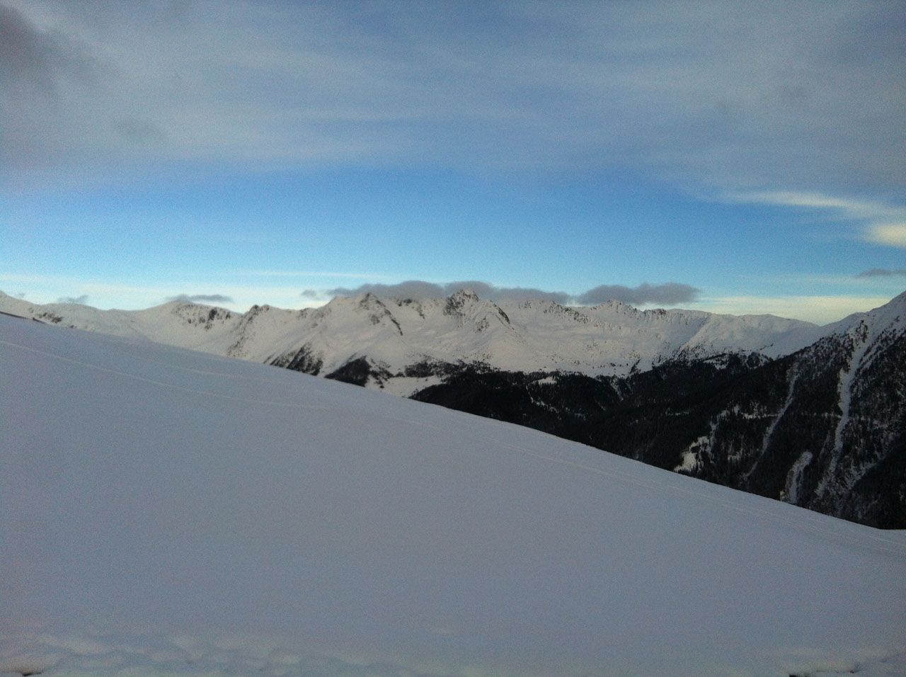
Karbacher Berg
Route Character
Nice tour over the Ragotz alp. Good touring area for beginners or at the beginning of the season.
Overnight in the winter season at the self-catering chalet Ragotz-Alm is highly recommended. Luggage transport also by ropeway.
Starting Point & Village
Starting point: Ascend via St. Martin at the material ropeway of Ragotz alp. Ascend via St. Magdalena at the ski lift. Village: St.Magdalena im Gsiestal
Ascent & Route
Ascent via St. Martin starts at the goods cable lift of Ragotzalm and leads through the overlying slope to the treeline at a bench. At this bench always follow the ridge through the forest along the signposted footpath to Ragotzalm to 2014m. (Guidance is the cable lift, duration ca.1,5h). This ascent is to cope with little snow only by foot and it is recommended if necessary to ascent with the board via St. Magdalena (see below). From the alp one can see the peak by good visibility in the northwest. The ascent after the alp leads below the peak slope, which can be reached depending on the snow conditions via the “Steinernen Mann” (well visible at the right summit ridge) or from the left ridge. (from Ragotz-Alm 1.5 hours)
During the ascent from St.Magdalena from the parking lot of the slope to the end of the left (south) lifts and then follow the signs to the left directing to Ragotzalm. Then proceed as above.
Descent & Variants
The descent to Ragotzalm along the ascent trail or through the Southeast slope. If you do not accomodate here (which is highly recommended) one can still ride 2 slopes below the goods cable lift, then a descent is recommended since the area is densely forested. The descent to St.Magdalena leads first down the south-east slope of Karbacher B. and then take the cauldron below the summit above the forest edge to the north-east to the Ascht Alm. From there through the forest to the north-east to the ski slope. (Forest road as a guide to use)
Photo Gallery
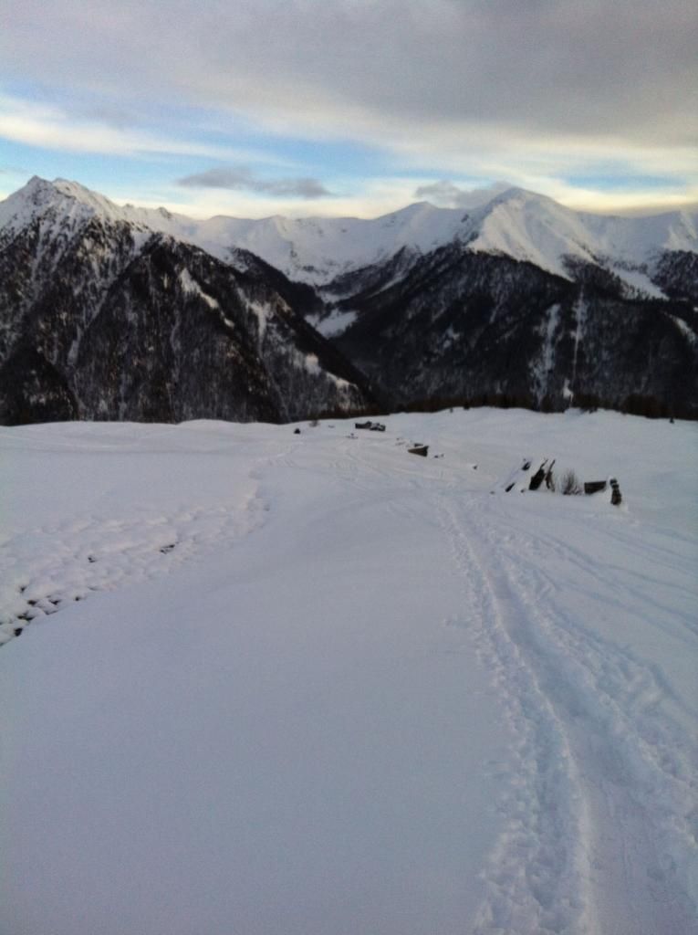
A selection of 2 photos from the tour:
Map and Avalanche Risk
[ASTRO_MAP_INFO_EN]
Image Gallery (2 Photos)
Slope Map
Tour Planning & Important Notes (OpenSlopeMap)
Tour Planning
You can plan and create your own tour directly in the map. The tour can then be downloaded as a GPX track.
Disclaimer
Every user of the map agrees to use the maps provided on OpenSlopeMap.org at their own responsibility and risk. OpenSlopeMap.org and its operators accept no responsibility for damages.
Map Explanation
- Slope inclinations are a very important criterion in avalanche risk management. However, slope inclination alone should never be the sole criterion!
- The resolution for Austria and South Tyrol is based on a digital terrain model (DTM) with 10m resolution. Outside these areas, accuracy is significantly lower.
- A map can only ever provide a limited view of real conditions.
Frequently Asked Questions
How difficult is this splitboard route?
The route is classified with difficulty level 3.
How many vertical meters does the tour include?
The ascent covers approximately 1200 vertical meters.
How long does the ascent take?
The tour takes around 3 hours.
Where does the route start?
The starting point of the tour is St.Magdalena im Gsiestal.