Jenner-Rothspielscheibe
Route Character
Beautiful tour in the Hagengebirge with many variations on the eastern side of the Königssee with a view of the Watzmann east face. Although you start at a sea level of 1740 m and the Rothspielscheibe is only at 1940 hm, on the way back and forth through some uphill climbs you add up to 1000m.
Starting Point & Village
Starting point: The easiest way to start the tour is from the Jenner top station. From there you already have a good overview of the ascent route. Fitness monsters can also start directly at the bottom station, then another 1100m are added to the tour. Those who, like us, want to save themselves from this approach will invest 17 EUR in a uphill ride (status 2017). Village: Schönau am Königssee
Ascent & Route
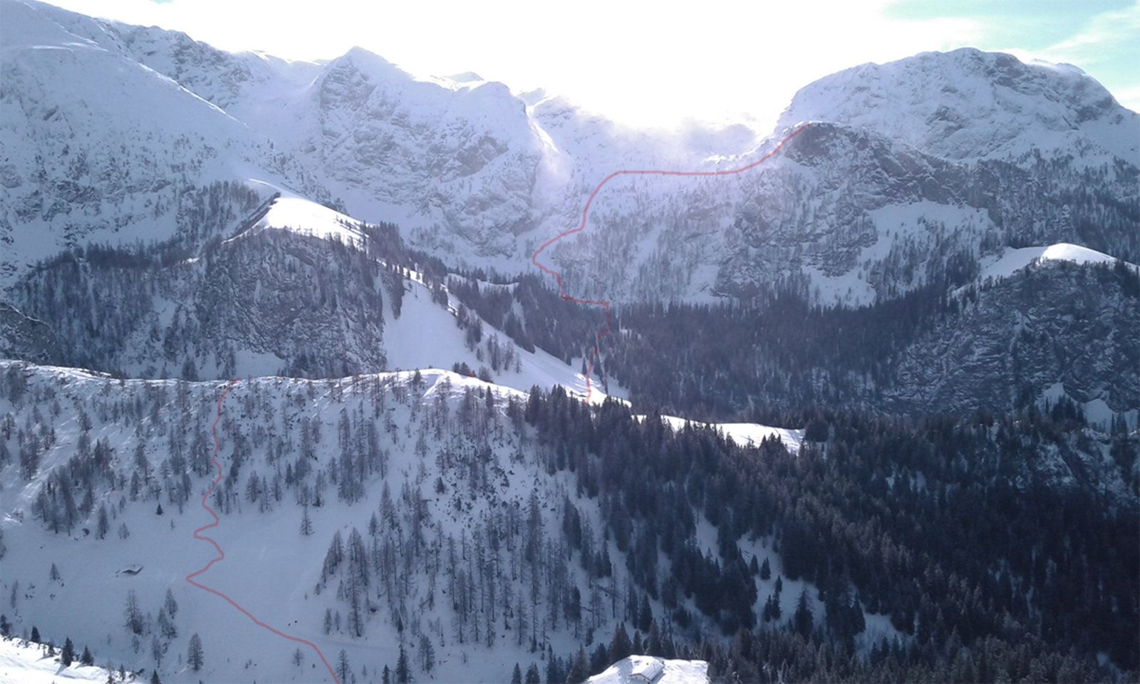
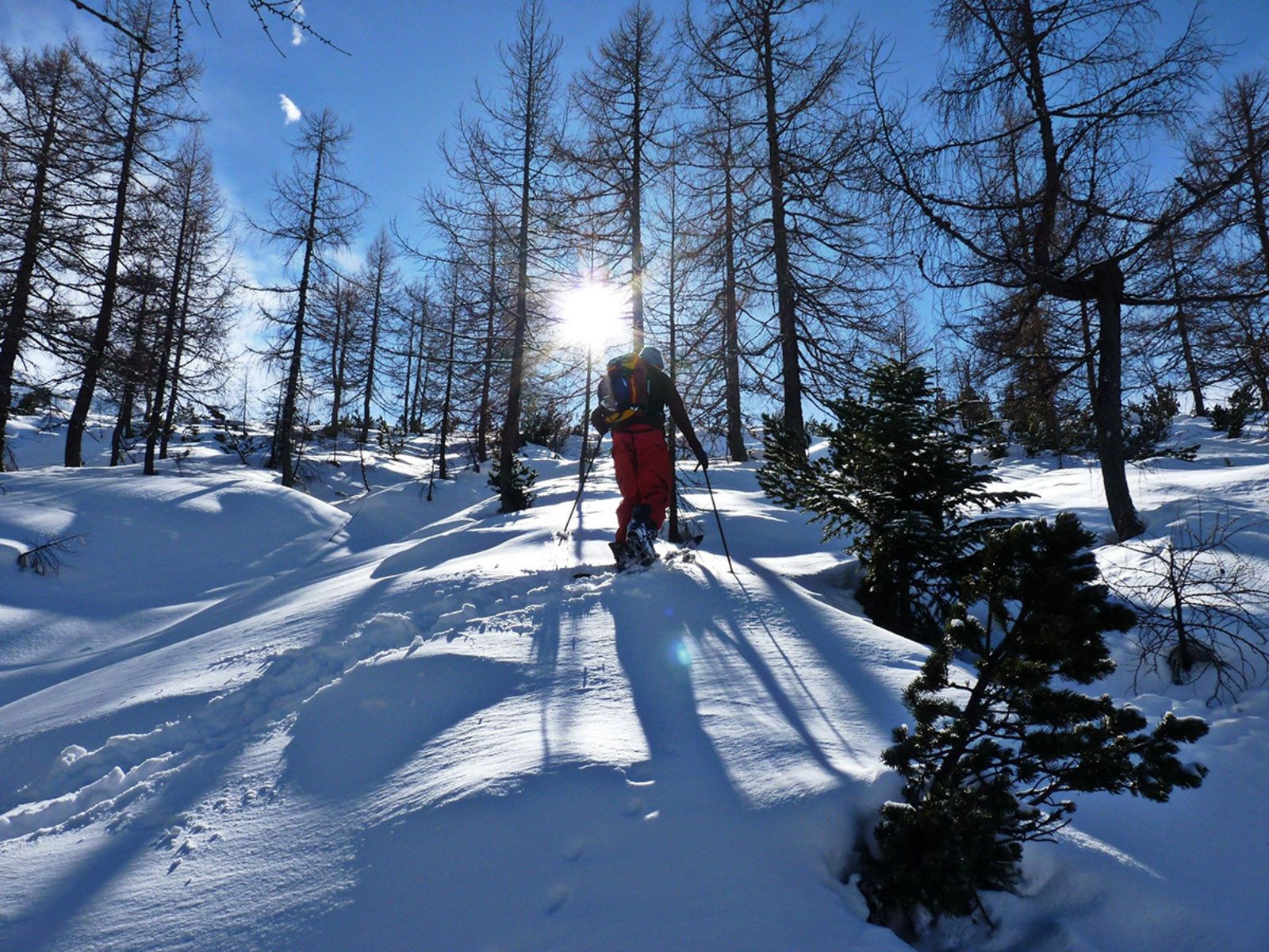
The ascent begins with a descent. At the top station we take the ski run "Mitterkaser-Abfahrt"a few meters before turning right into the open grounds. It goes down about 200 meters to a depression. We are now at a small hut, 500m below the Schneibstein house. There we change over our Splitboards and climb a short slope (70m) in southern direction through light trees and pine fields.
At the top we have a second short but steep descent towards Königstalm. In springtime we pay attention to possible wet snow and gliding snow slides. From there we continue our way south past the Königstalalm. Again, you should keep an eye on the south-western slope on the left side of the route. We continue on up and down through a short woodland to the main ascent.
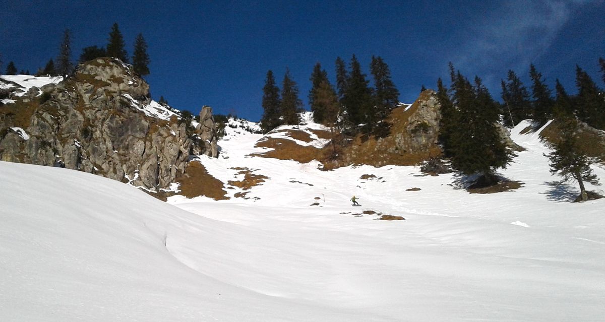
We keep to the left and easily reach the open terrain through the forest. There you turn a little to the right, because on the left there is a rock face. Here there is a small steep step, which can be mastered on foot or with crampons, depending on the snow conditions. We stick to the rock face, the terrain becomes flatter again. Further up on the left side we see the last ascent to the Rothspielscheibe. Now it is only about 150 meters to the summit.
possible variations
Ascent via the north side should only be chosen under stable snow conditions. Here are some more ascension patients outlined, which were not committed by us.
- Ascent via the west bank: From the first depression, continue southwest until you reach the Königsbach and the Branntweinbrennhütte at 1340 m above sea level. From there, walk southwards in a flat area for about 500m, then ascend the woodland between Farenleitenwand and Mooswand in southwest direction.
- Ascent along the ridge in eastern direction over the Reinersberg. From the Schneibsteinhaus follow the ridge in southeast direction.
Descent & Variants
Along the ascent route. We avoid the short, very steep slope (2nd descent in the ascent) a little to the south.
Maps
Alpenvereinskarte BY22 Berchtesgaden - Untersberg 1:25000
Photo Gallery
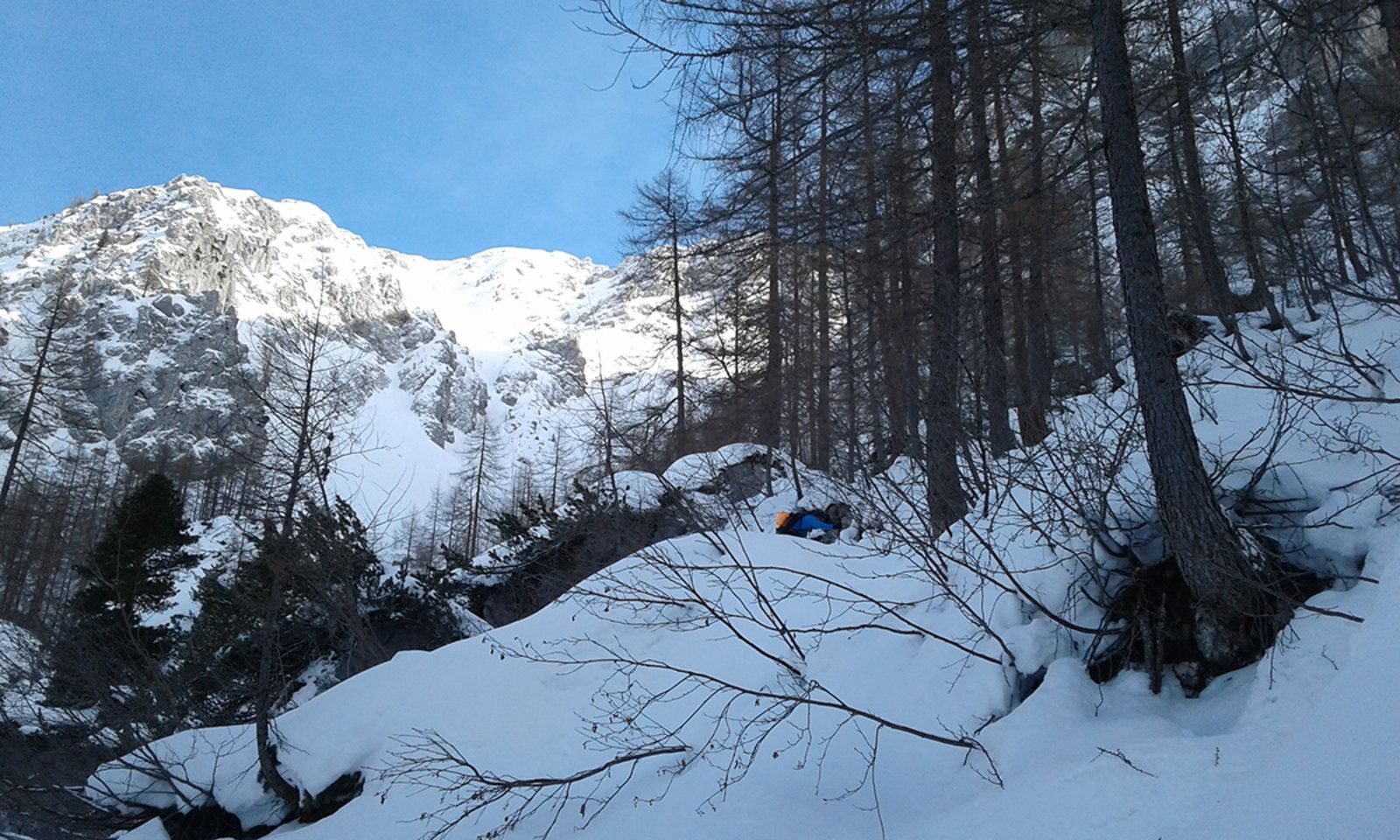
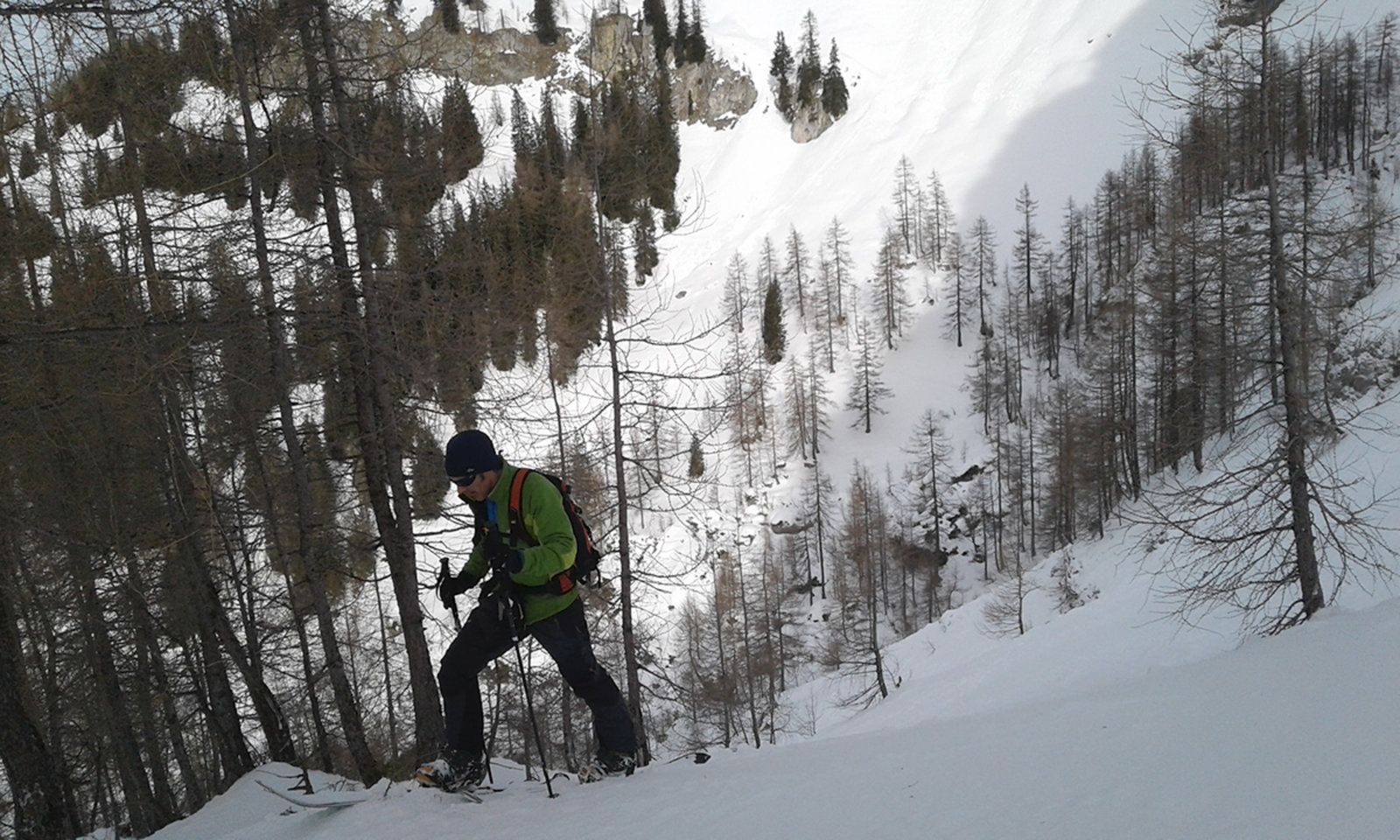
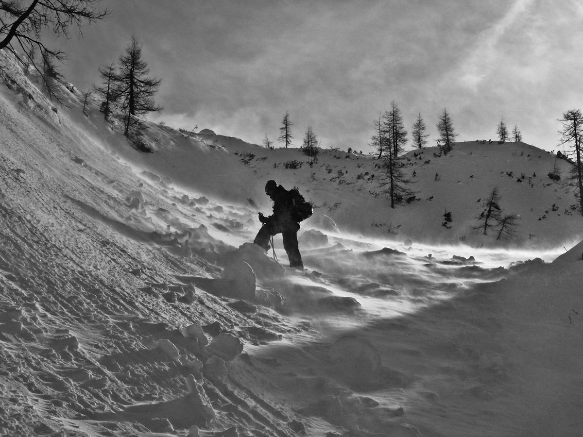
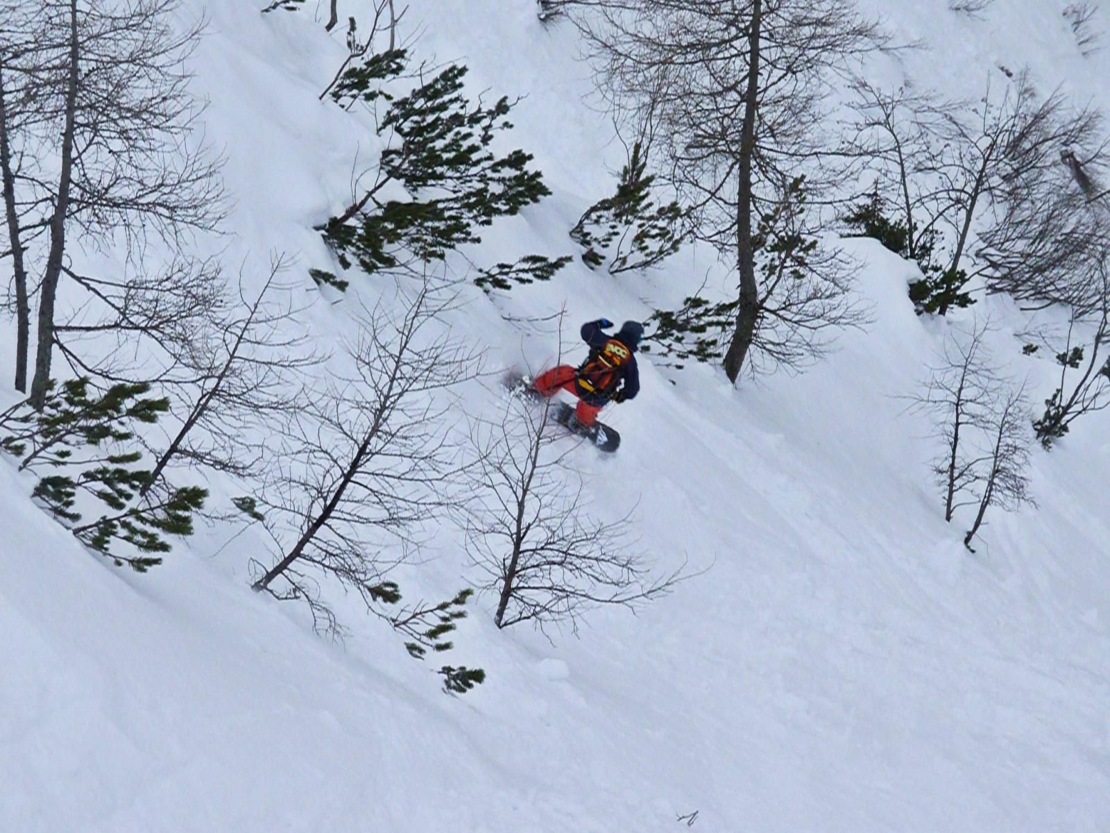
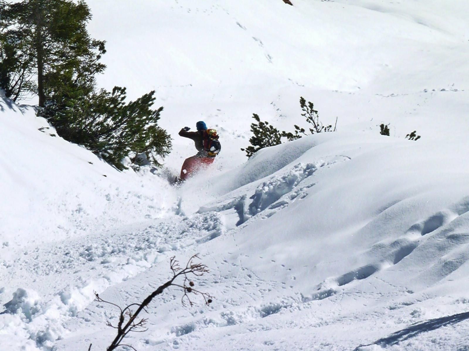
A selection of 9 photos from the tour:
Map and Avalanche Risk
[ASTRO_MAP_INFO_EN]
Image Gallery (9 Photos)
Show all 6 more photos
Slope Map
Tour Planning & Important Notes (OpenSlopeMap)
Tour Planning
You can plan and create your own tour directly in the map. The tour can then be downloaded as a GPX track.
Disclaimer
Every user of the map agrees to use the maps provided on OpenSlopeMap.org at their own responsibility and risk. OpenSlopeMap.org and its operators accept no responsibility for damages.
Map Explanation
- Slope inclinations are a very important criterion in avalanche risk management. However, slope inclination alone should never be the sole criterion!
- The resolution for Austria and South Tyrol is based on a digital terrain model (DTM) with 10m resolution. Outside these areas, accuracy is significantly lower.
- A map can only ever provide a limited view of real conditions.
Frequently Asked Questions
How difficult is this splitboard route?
The route is classified with difficulty level 4.
How many vertical meters does the tour include?
The ascent covers approximately 1000 vertical meters.
How long does the ascent take?
The tour takes around 5 hours.
Where does the route start?
The starting point of the tour is Schönau am Königssee.